Great River Road Trip, Day #2
Monday, May 5, 2025
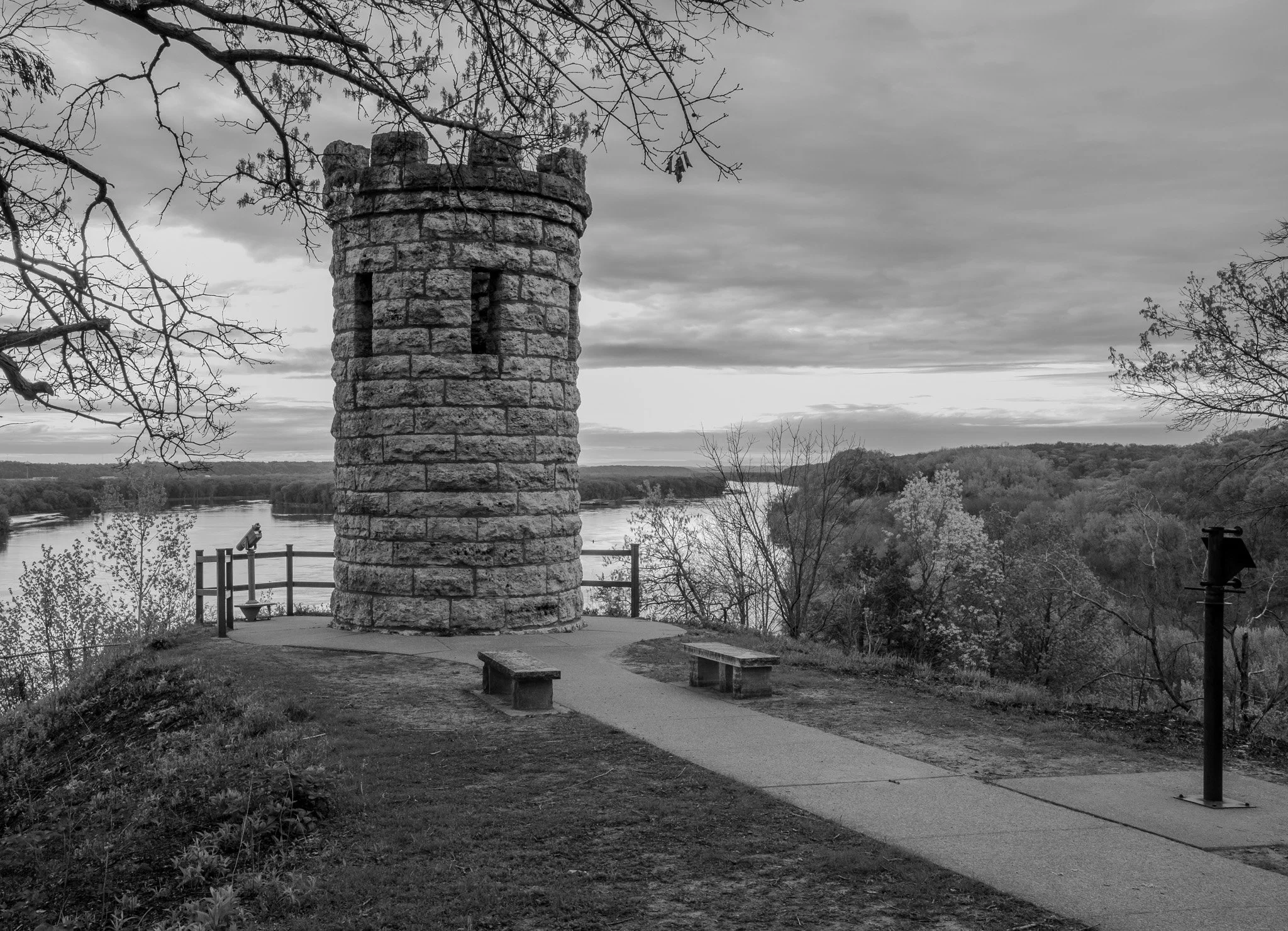
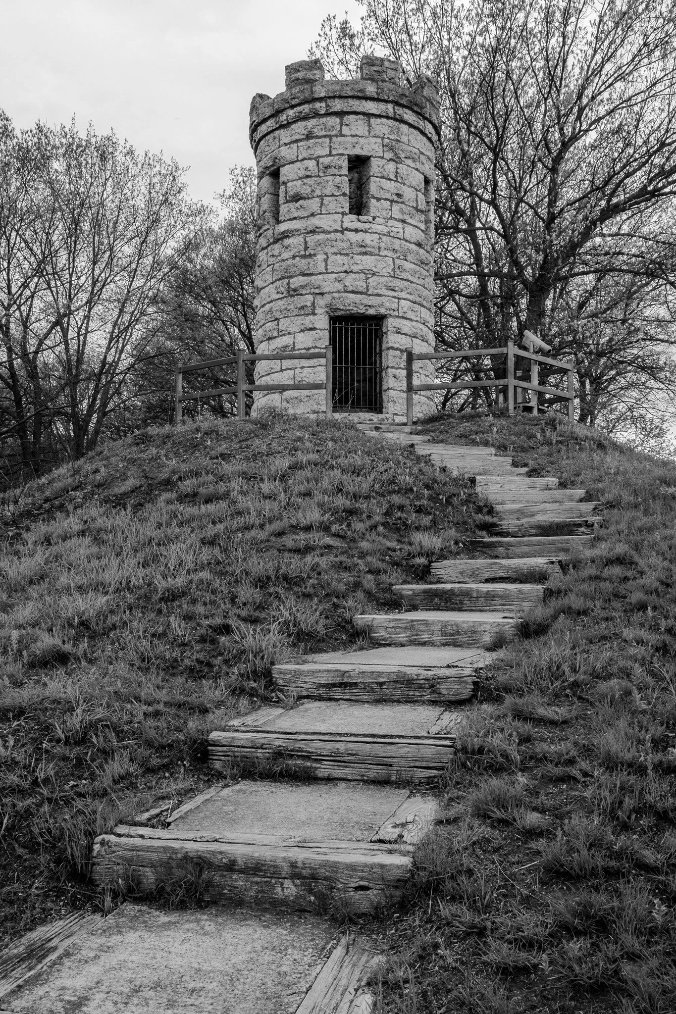
Julien Dubuque Monument just south of the city. This is the final resting place of Julien Dubuque, overlooking the Mississippi River.
[Click on Image for Map]
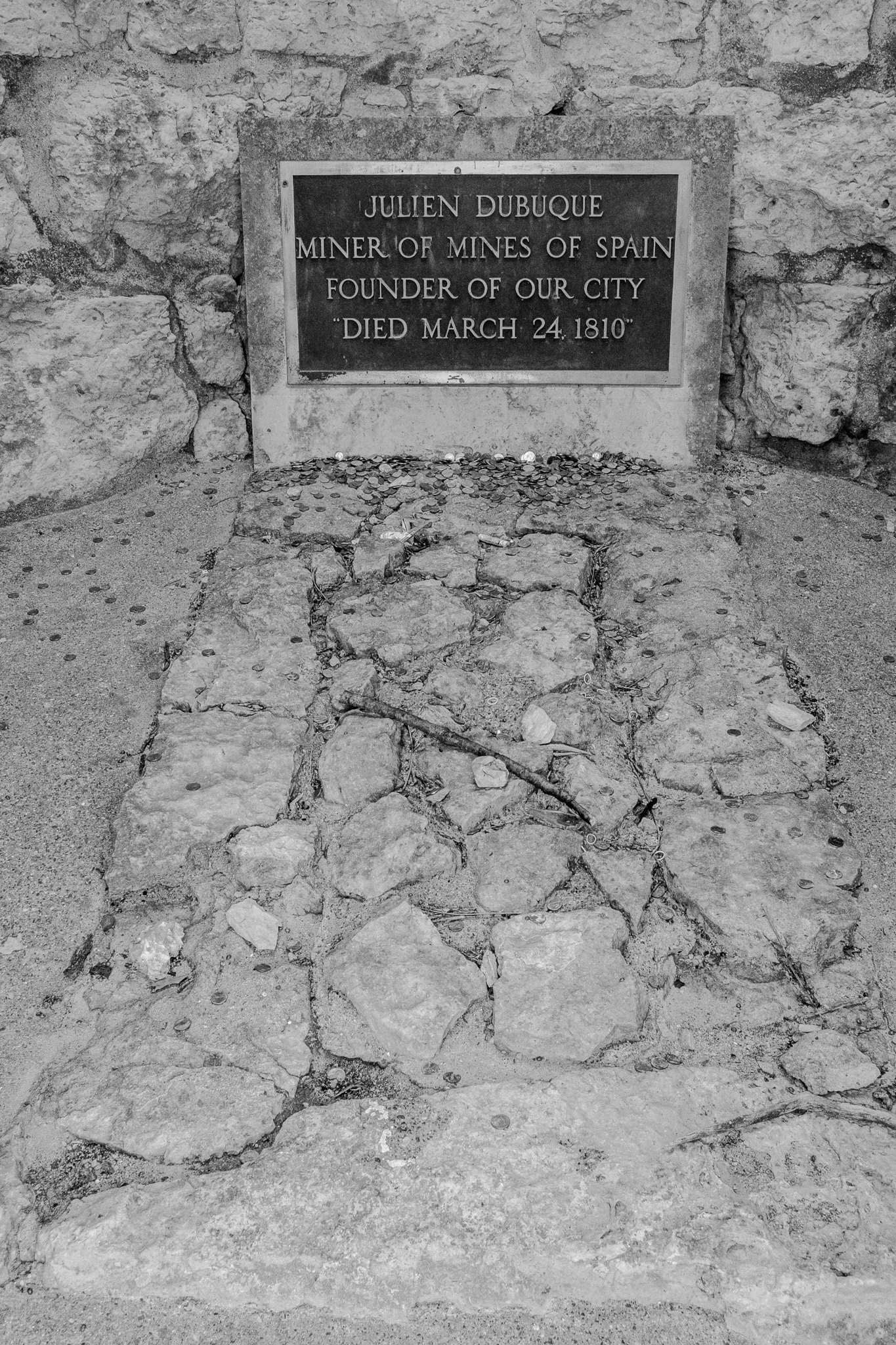
His tomb is inside the monument and he lays facing the river.
[Click on Image for Map]
[Click on Image for Map]
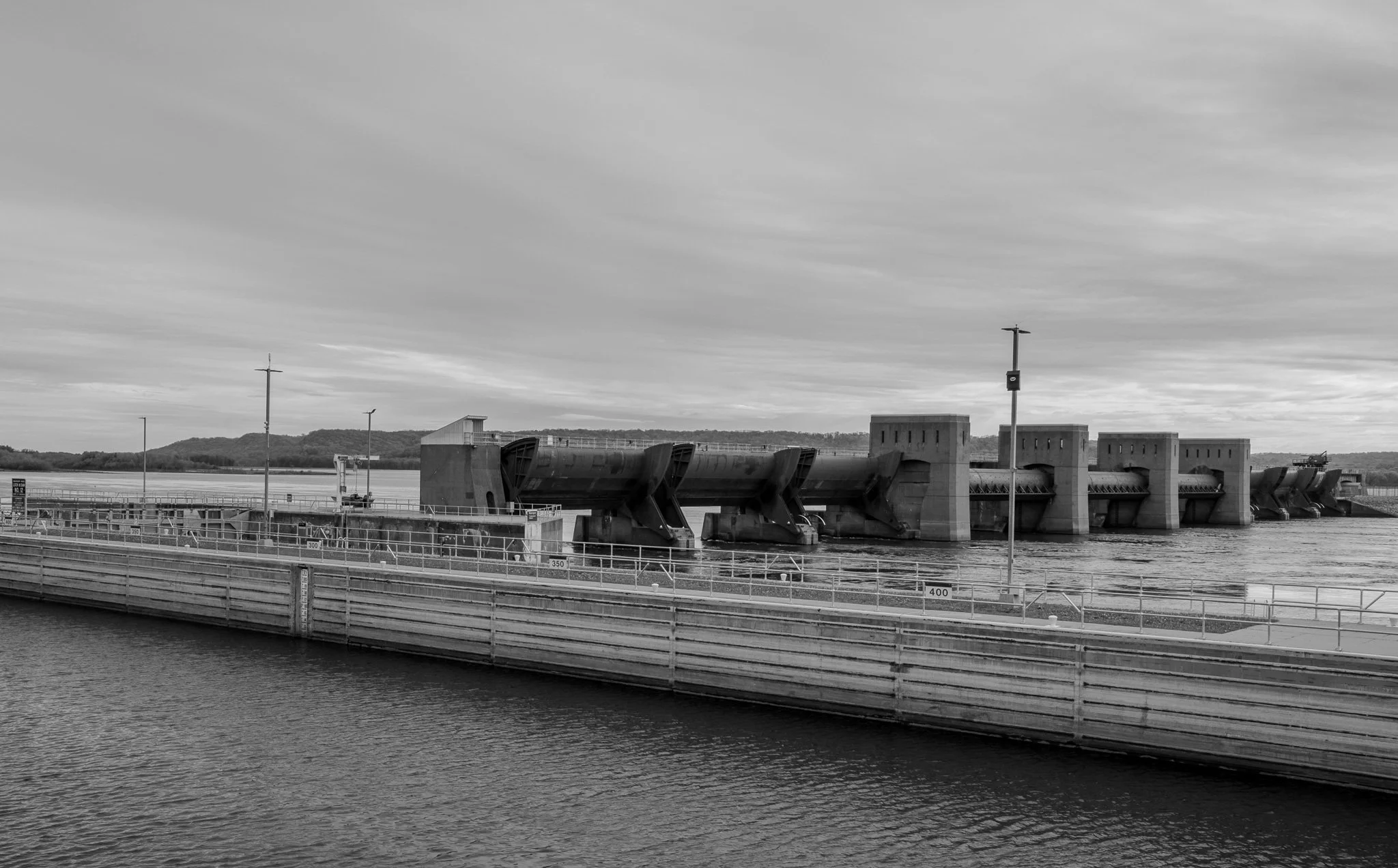
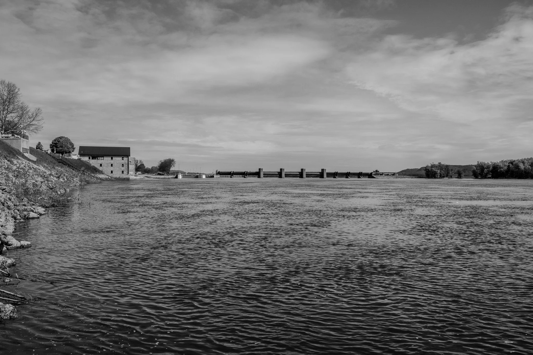
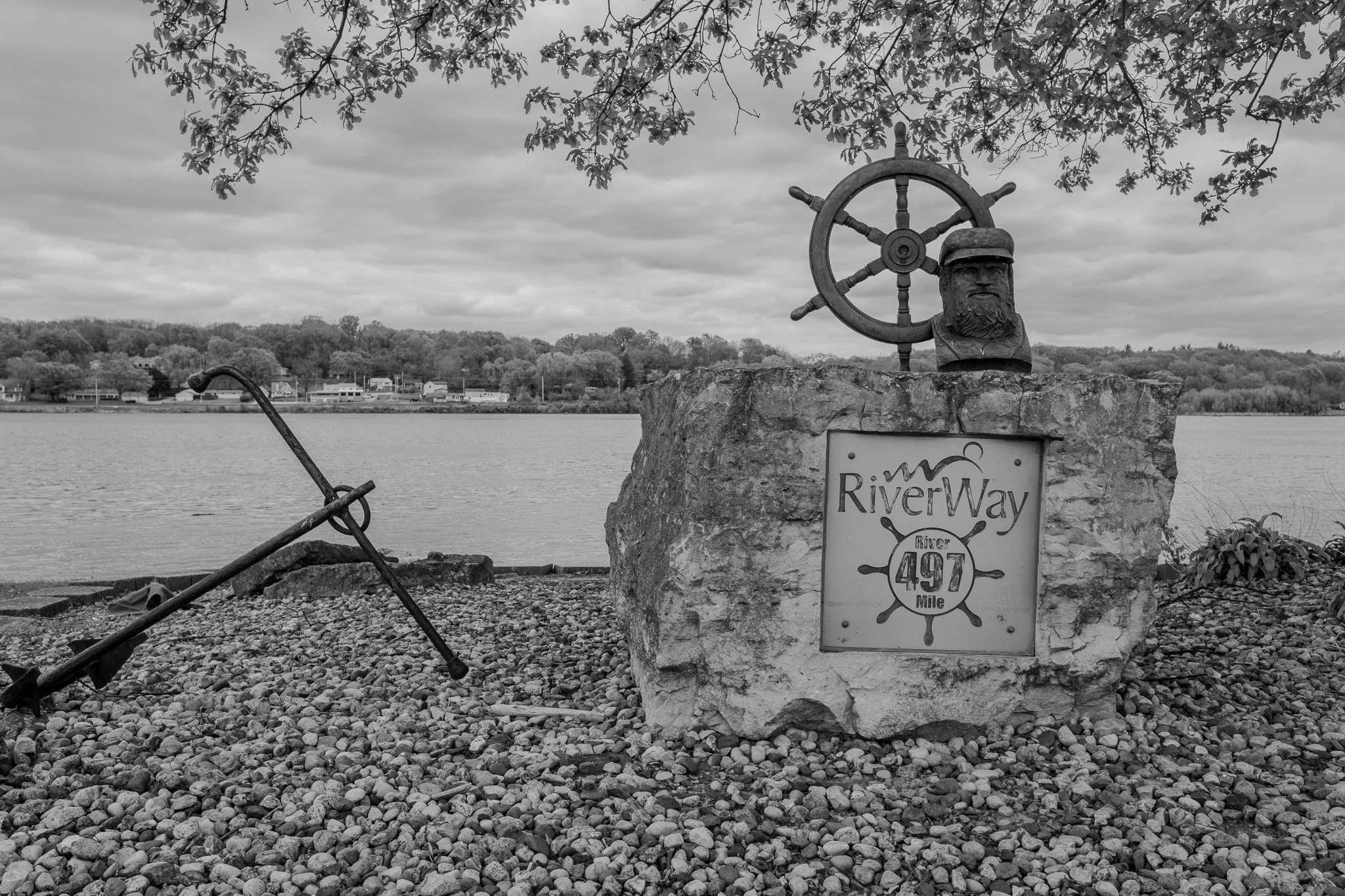
After a brief stop at the monument, it was on the road again and this time to Bellevue, Iowa. This is Lock & Dam #12
[Click on Image for Map]
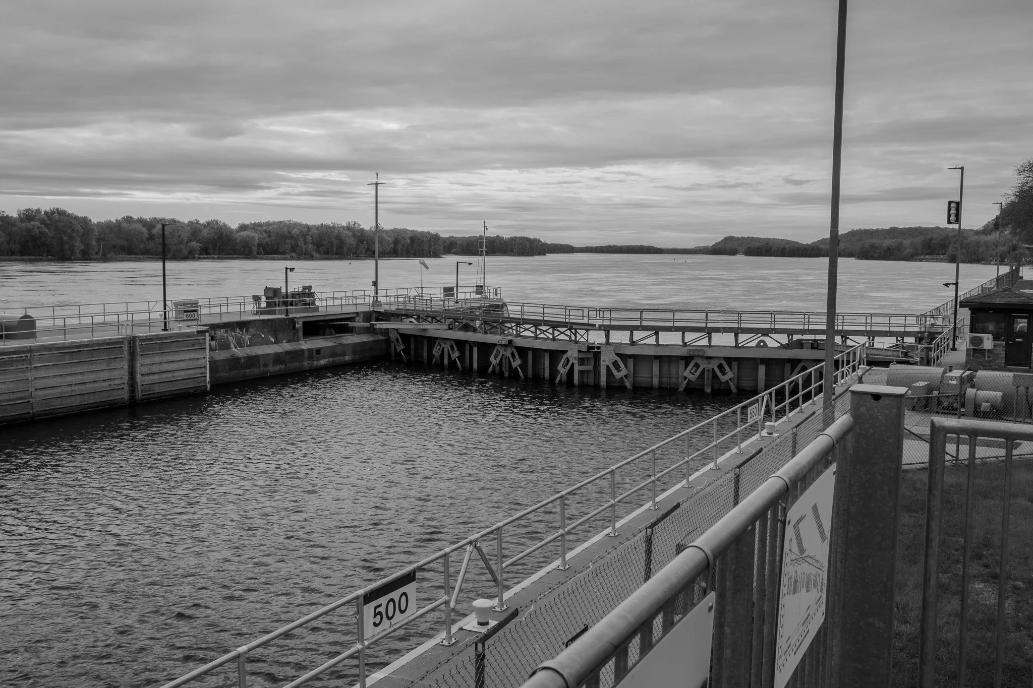
Looking south downriver from Lock & Dam #12.
[Click on Image for Map]
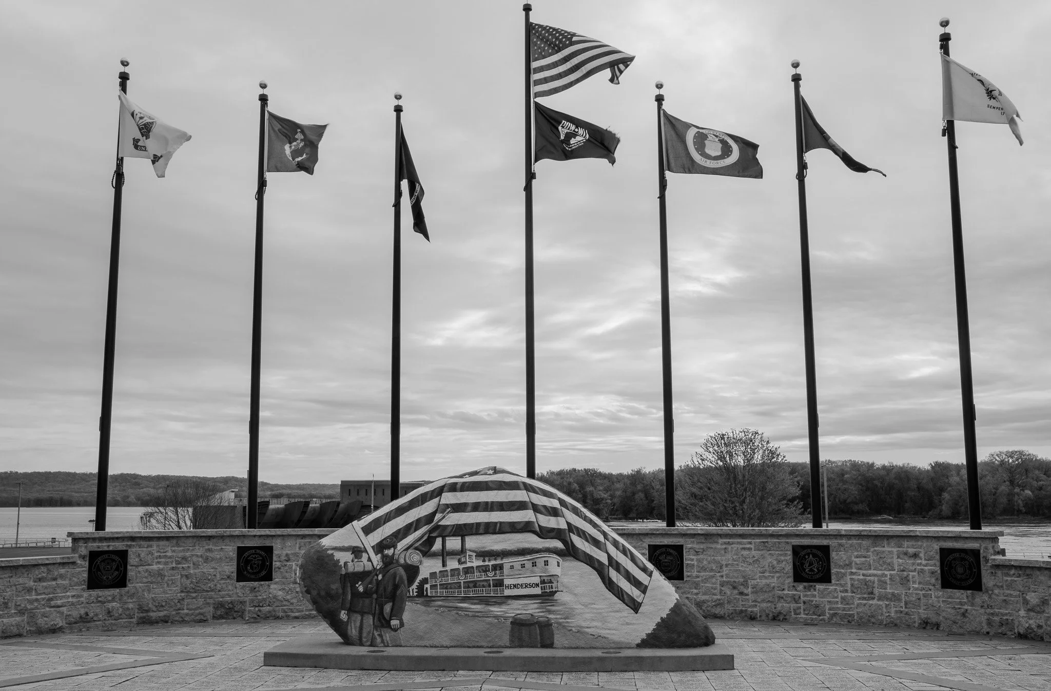
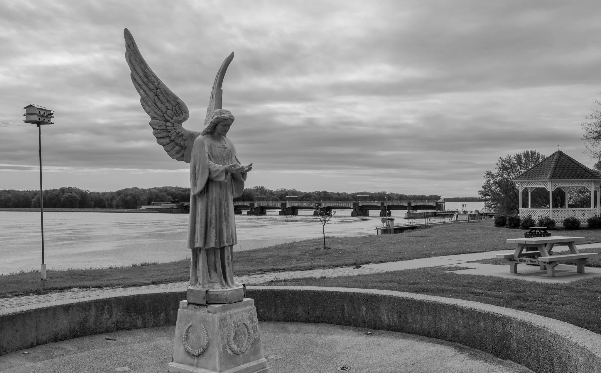
Bellevue has a small riverfront park and walking path. It is a typical small river town with a few shops and eateries along the main street.
Looking from the riverwalk south toward the dam. This is usually a fountain, but this early in the season they have not started the water feature.
[Click on Image for Map]
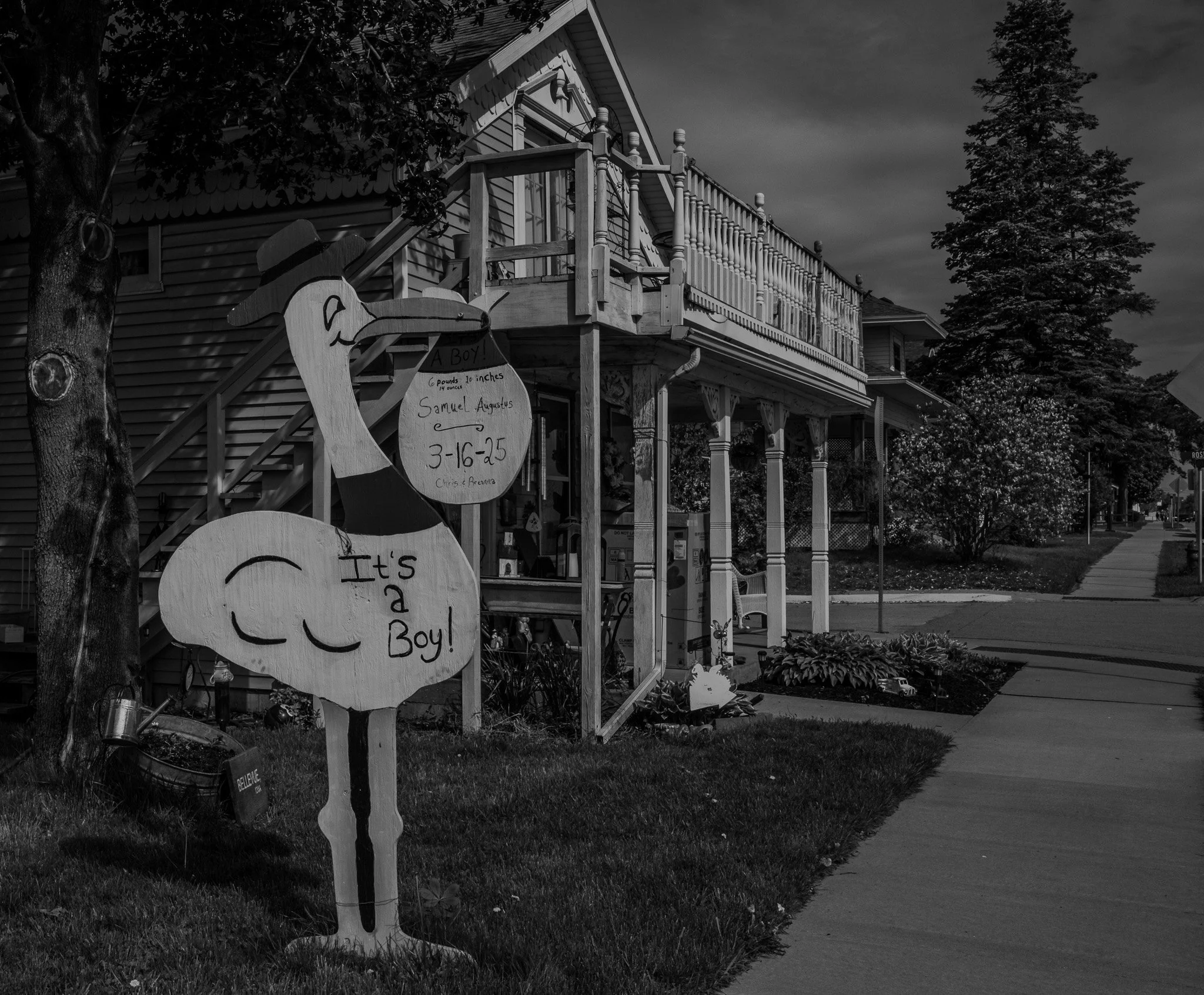
No matter how far you travel, the job always seems to have a way of following you. This larger than life stork was installed on someone’s front yard. It says 6 pounds & 14 ounces - should have been an easy forceps!
[Click on Image for Map]
A stairway takes you down to water level and this is looking back upriver toward the Lock & Dam. The river down here was actually running on the high side, and places were issuing river flood warnings in the low areas. As you can see on the left, it still has to rise quite far to breech the flood mitigation wall on the left.
[Click on Image for Map]
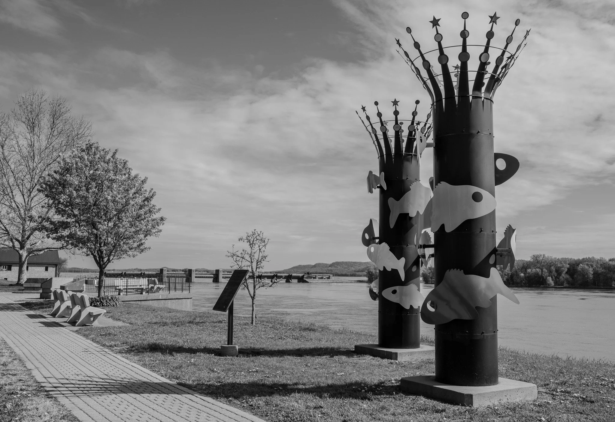
The Bellevue riverwalk with some art made to look like the smokestack on an old paddlewheeler.
[Click on Image for Map]
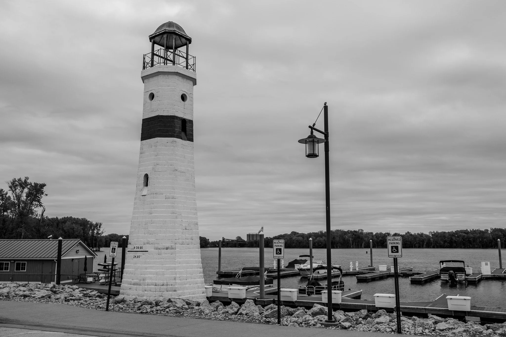
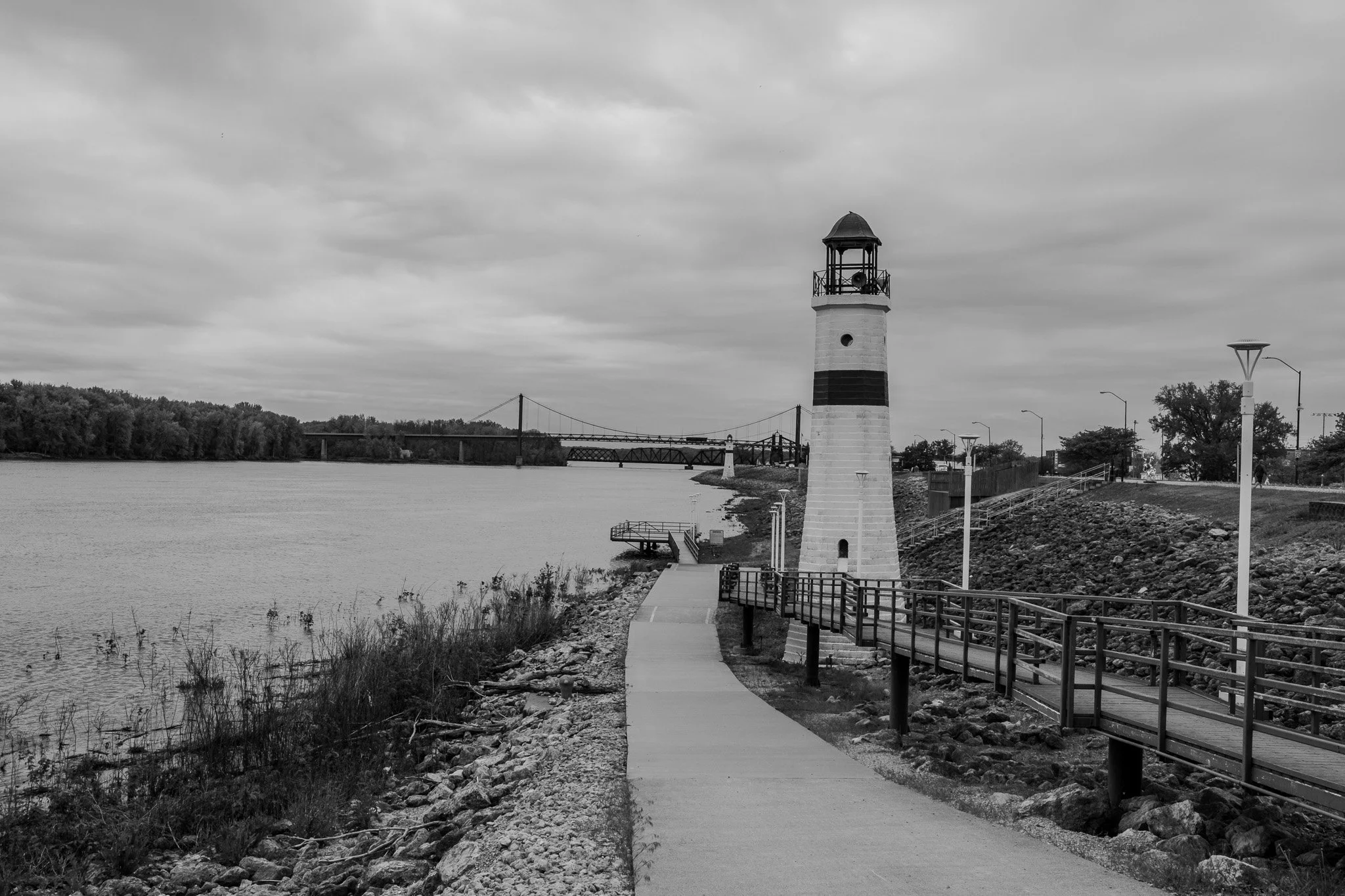
Next up was Clinton, Iowa. They have a series of these lighthouses along the west side of the river in Clinton. The line that is drawn about six feet up on the left of the lighthouse reads, “4-28-65 and 24.85 feet.” I wonder how that compared to the flood in 2019?
[Click on image for Map]
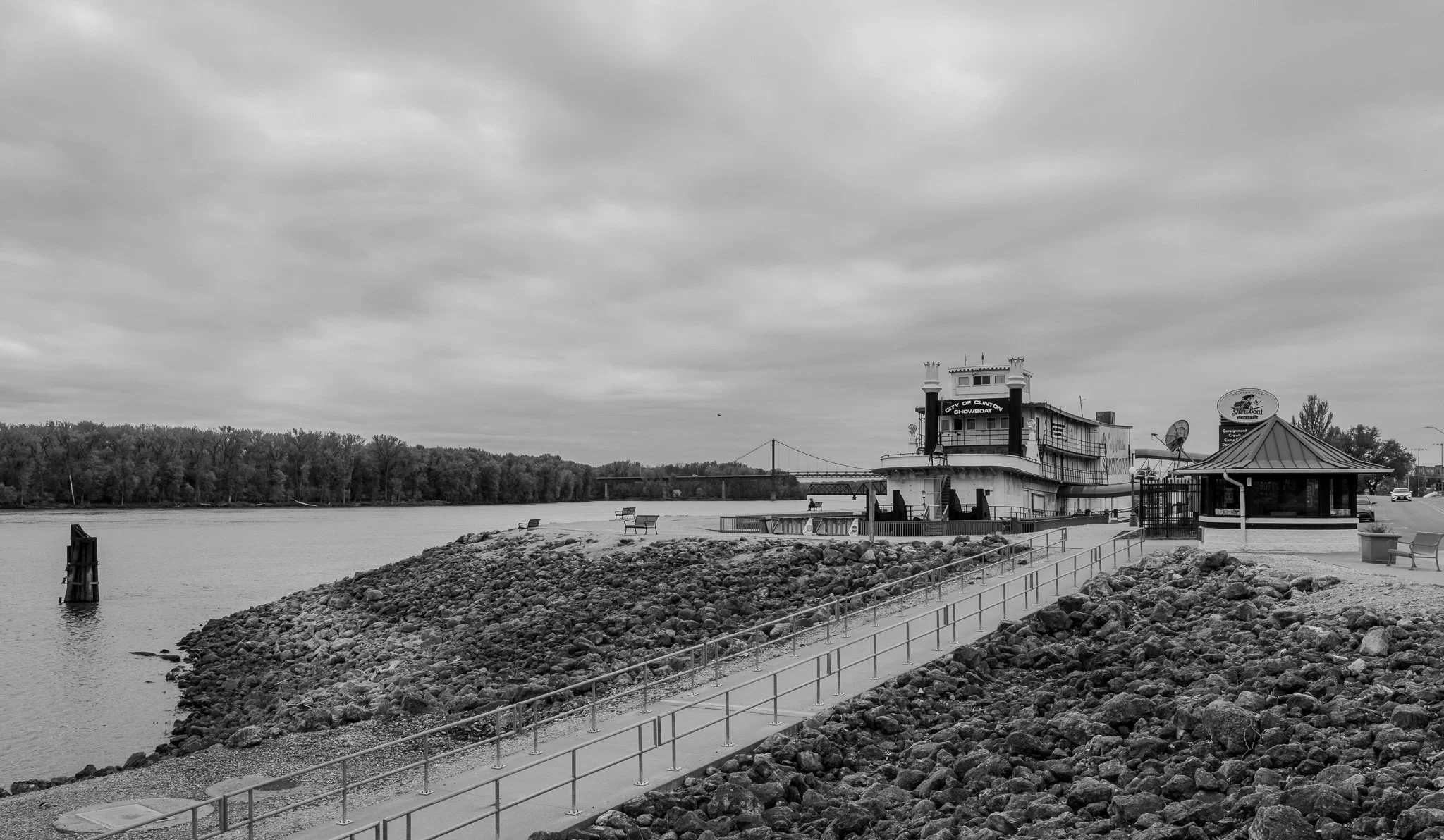
This dry docked paddle wheeler is now a venue for shows and entertainment here in Clinton.
[Click on Image for Map]
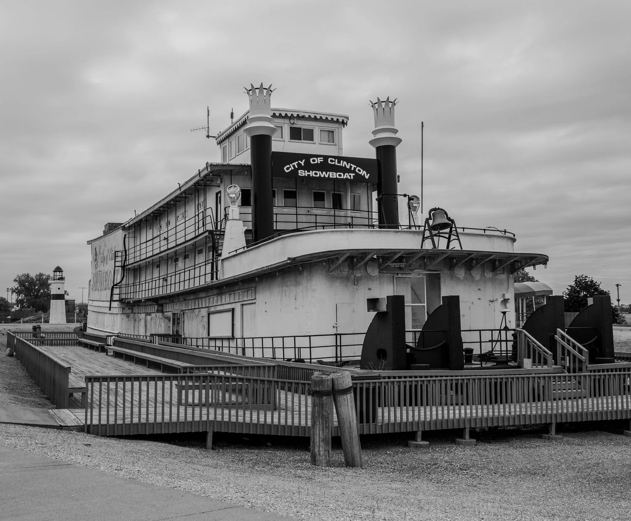
By the looks of things, it is going to take the flood of 1965 to get this one back in the river again.
[Click on Image for Map]
Several more of these lighthouses that line the west bank of the river in Clinton. Not sure how much this was for aesthetics as apposed to navigation really.
[Click on Image for Map]

These next two are for Hans Sviggum, MD, OB Anesthesia Chair. He commented that he wanted to see some town ballfields along the trip.
This is the home field of the Clinton LumberKIngs. The LumberKings were a minor league club affiliate of at least 13 MLB clubs over the years; including the Expos (1999-2000) and most recently the Miami Marlins (2019-2020). They no longer have any MLB affiliation - as it appears most of these Midwest League teams no longer do - and instead are in a summer collegiate league; much like our Rochester Honkers of the Northwoods League.
[Click on Image for Map]
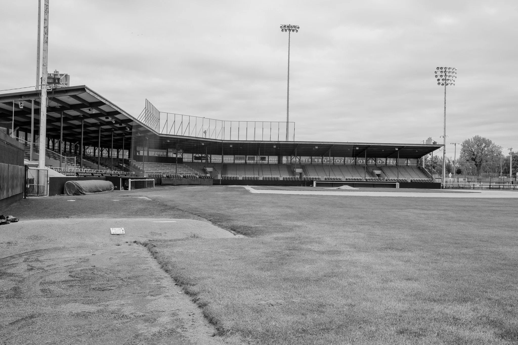
After walking around a bit, Lisa and I both agreed this is a damn nice field and stadium for a summer collegiate league team.
[Click on Image for Map]
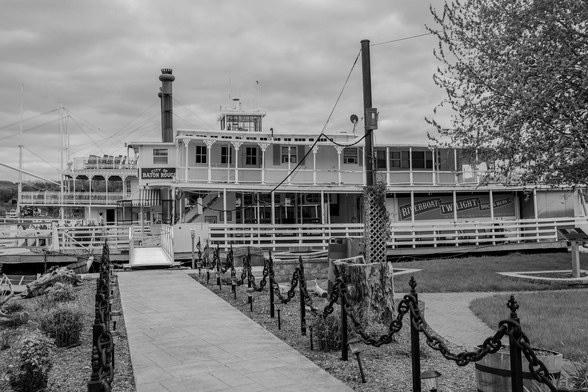
Continuing south we stopped at Le Claire, Iowa. They were working on some of the paddle wheeler tour boats at the dock.
[Click on Image for Map]
Le Claire waterfront.
[Click on Image for Map]

I never knew these pelicans are so ubiquitous this high up on the Mississippi. We see them at every stop, being almost as common as the Canada Geese.
[Click on Image for Map]
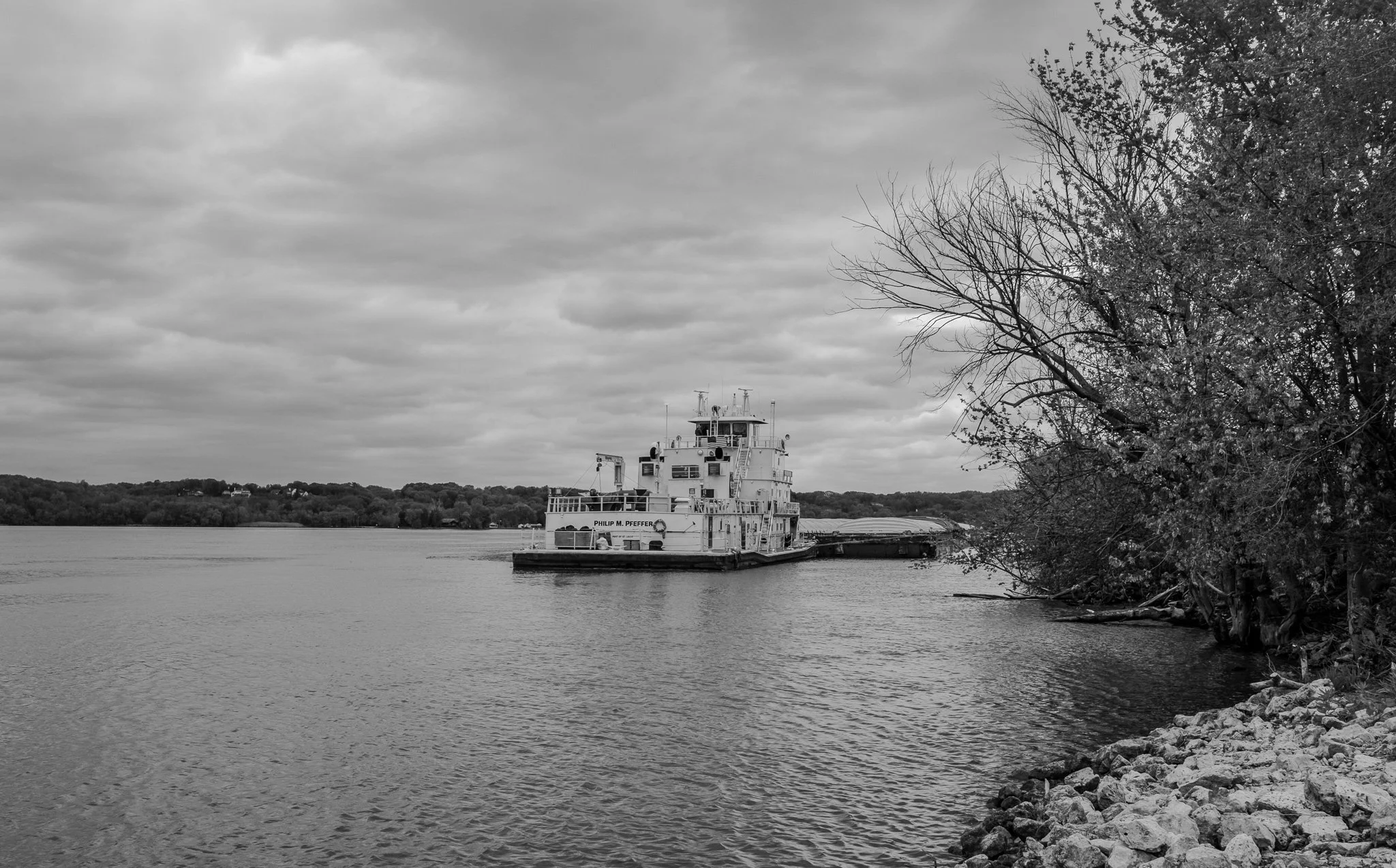
The Philip M. Pfeffer was pushed up against the west bank and stopped here with his barges. Probably awaiting access to Lock & Dam #14 further south.
[Click on Image for Map]
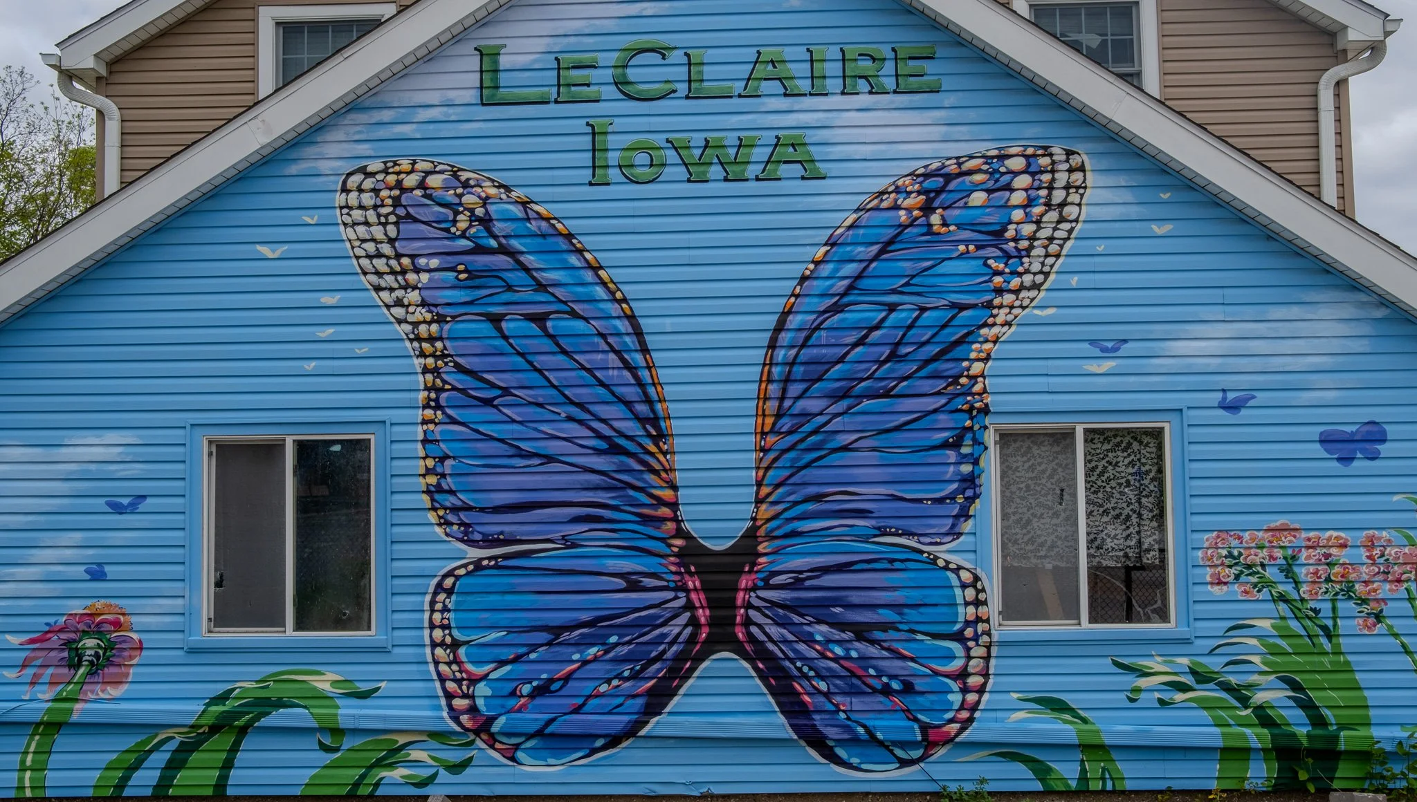
Le Claire really capitalizes on the tourist aspect of the Great River Road. They have a very well done commercial street just up from the river with shopping and eateries. This mural was painted on one of the homes.
[Click on Image for Map]
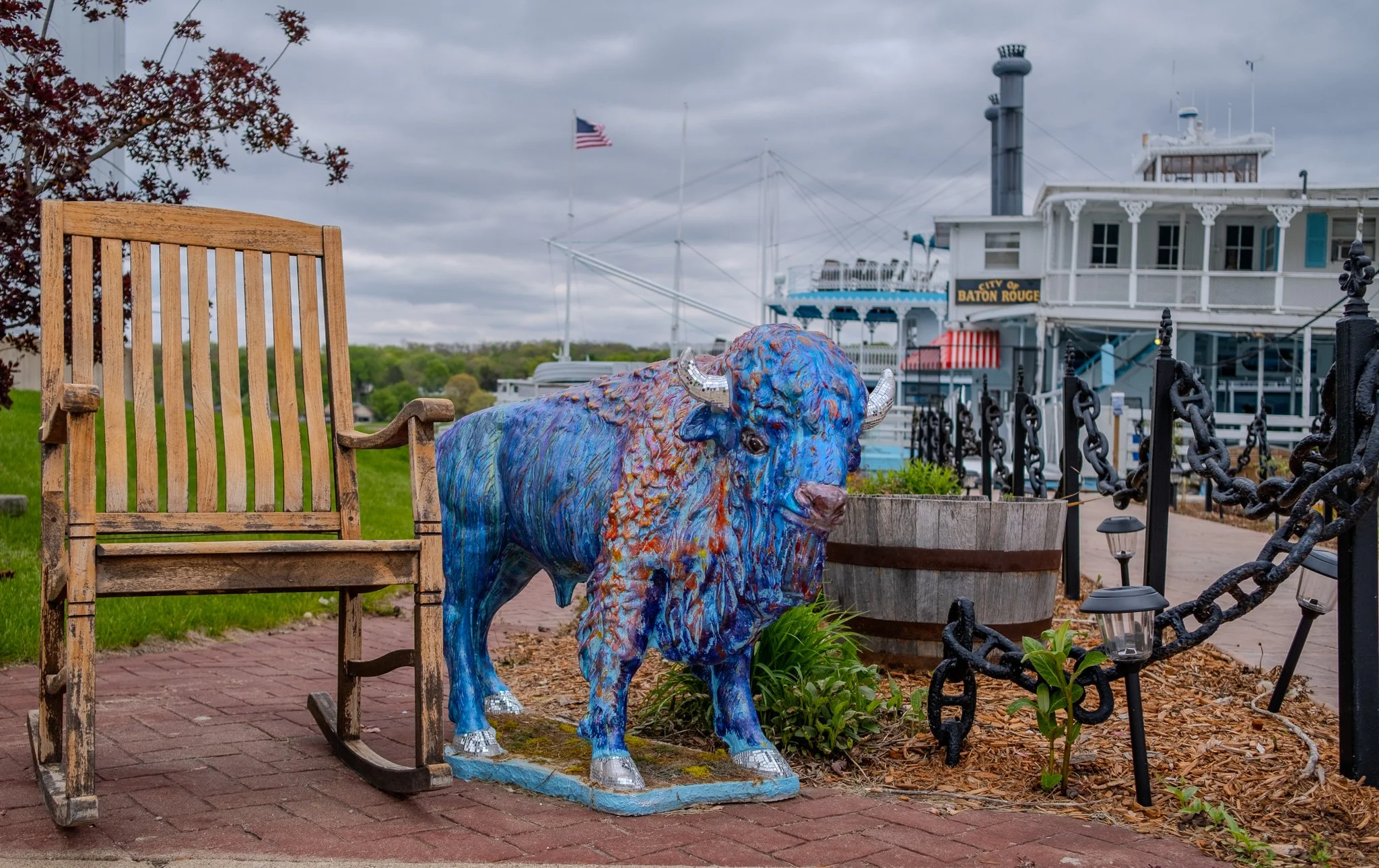
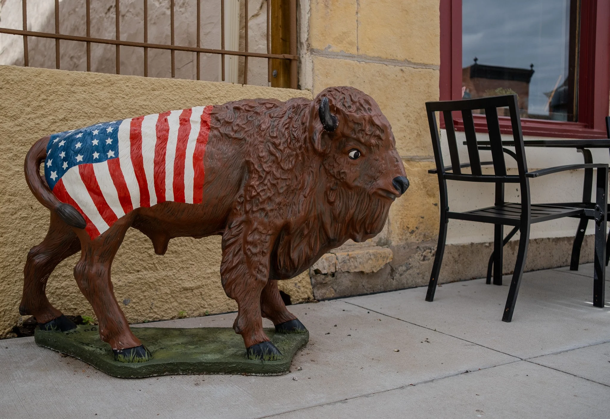
Le Claire is also the birthplace of William Frederick “Buffalo Bill” Cody and in addition to the Buffalo Bill museum, they also have these buffalo statues all throughout the town. Each one has a unique paint job. This one was located at the loading dock for the paddle wheelers.
[Click on Image for Map]
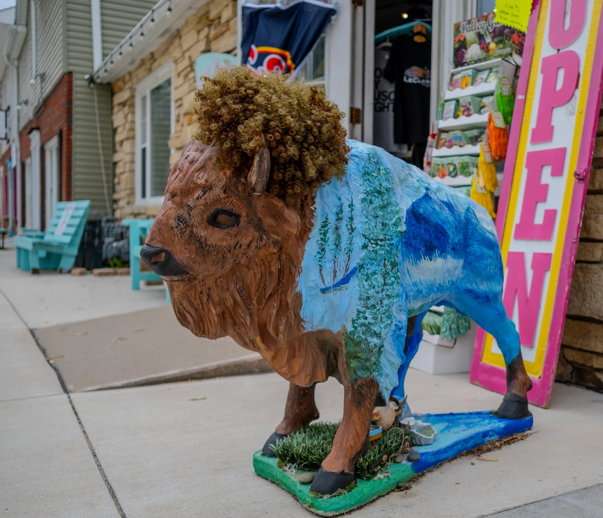
It appears that each of the businesses gets to decorate the buffalo in front of their shop. This one had a wig.
[Click on Image for Map]
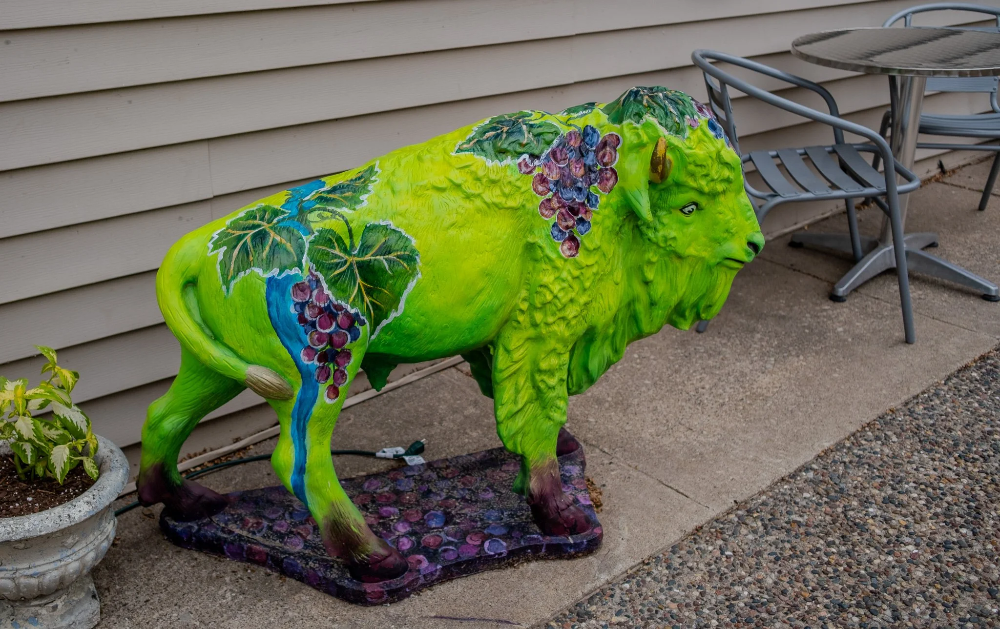
Most vibrant has to go to the winery.
[Click on Image for Map]
[Click on Image for Map]
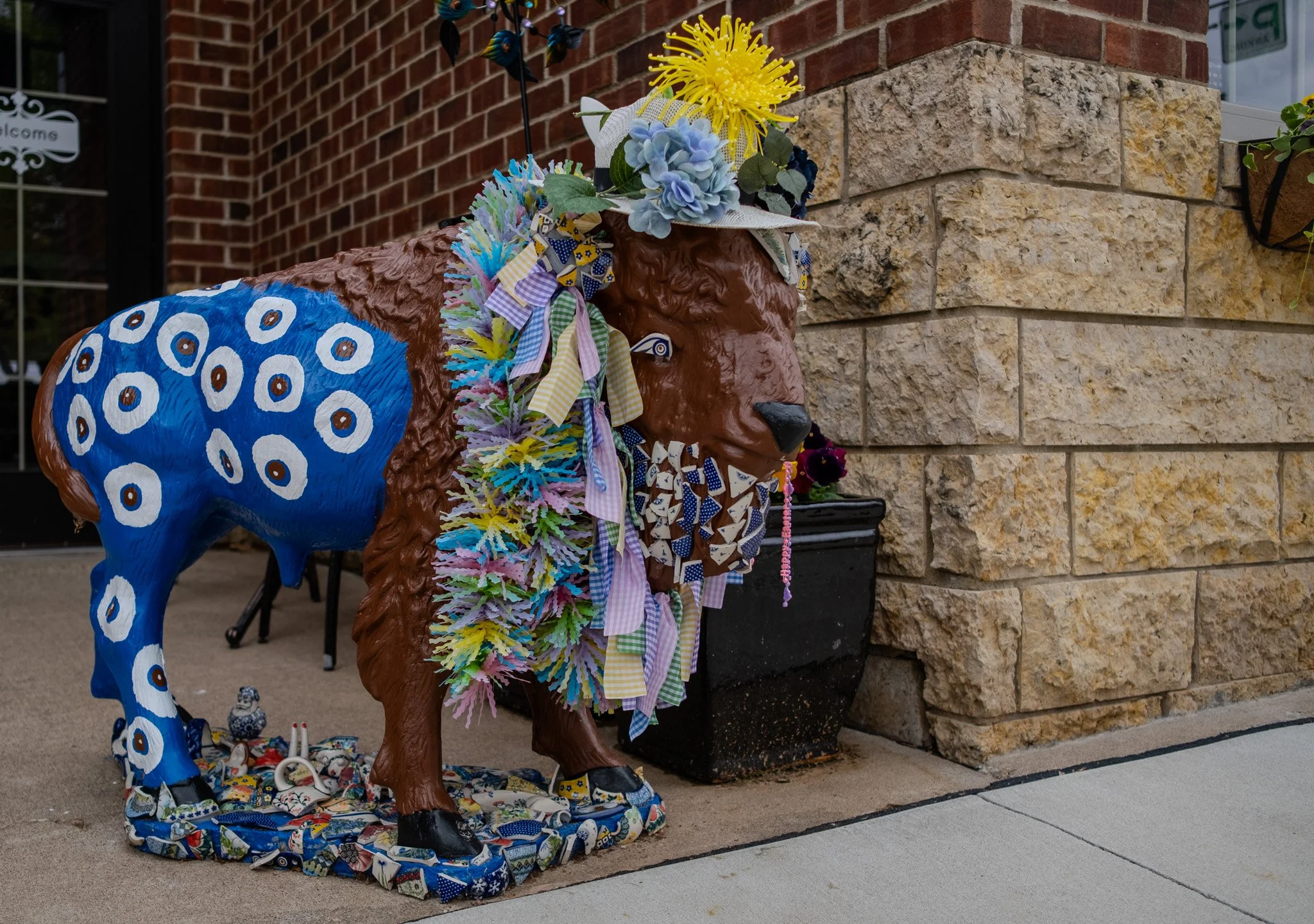
Best dressed goes to the pottery establishment.
[Click on Image for Map]
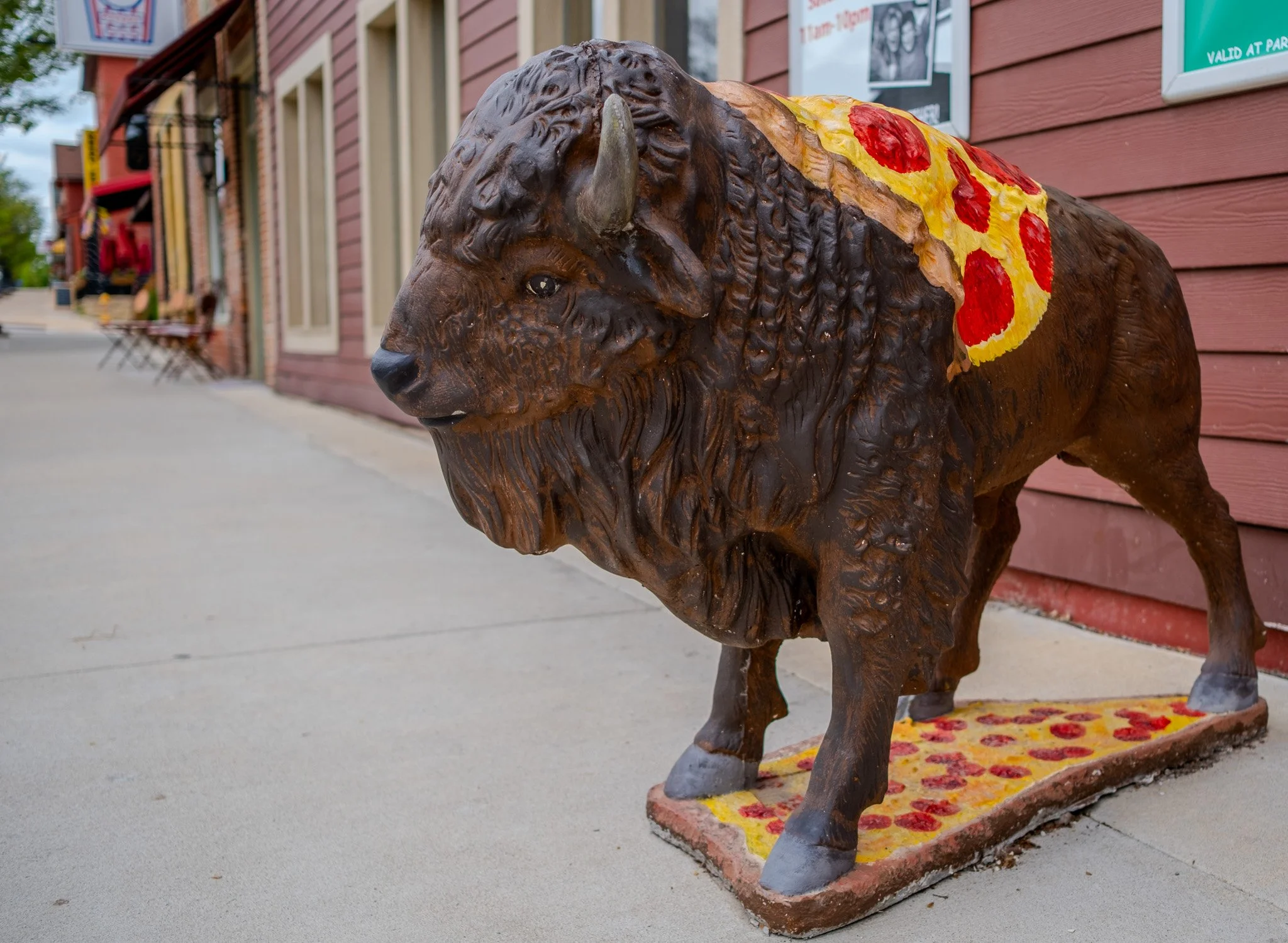
My personal favorite has to be the pizza joint. This dude is sporting a piece of pepperoni pizza.
[Click on Image for Map]
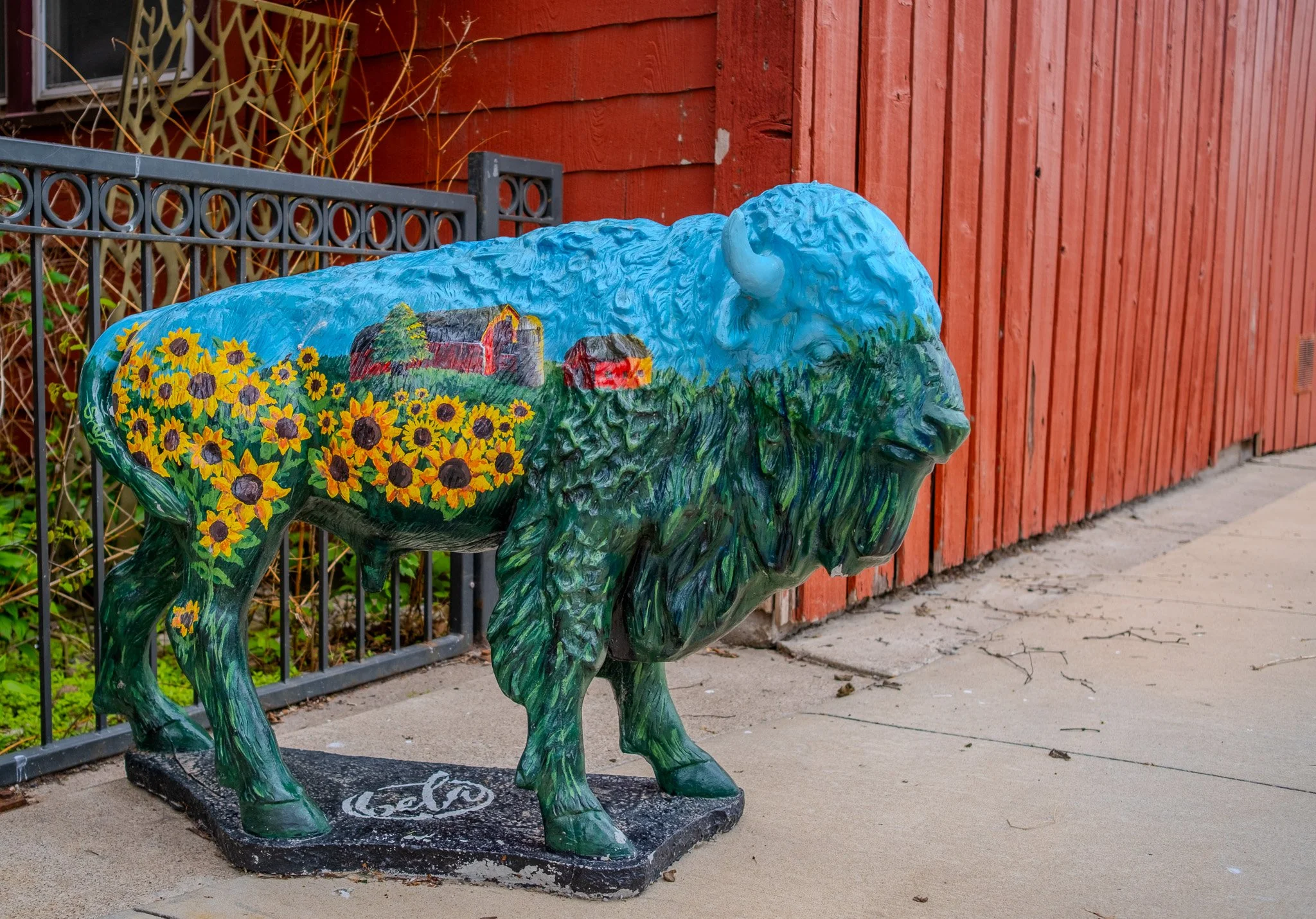
This one wins for most artistic detail on a buffalo.
[Click on Image for Map]
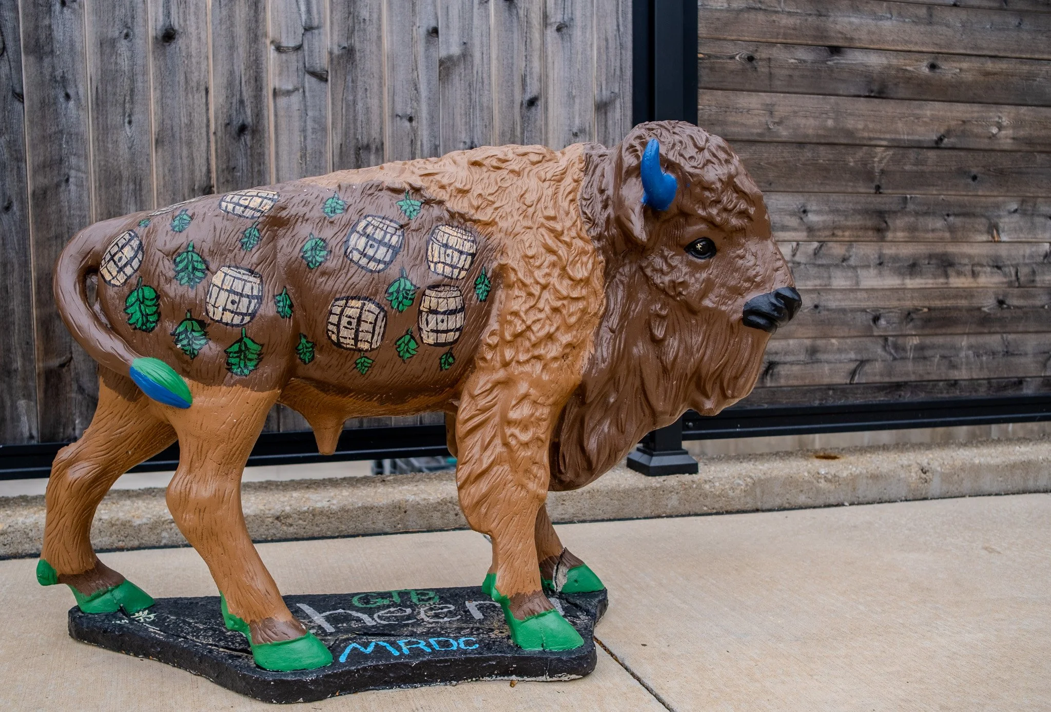
The Mississippi River Distilling Company decorated theirs with whiskey barrels.
[Click on Image for Map]
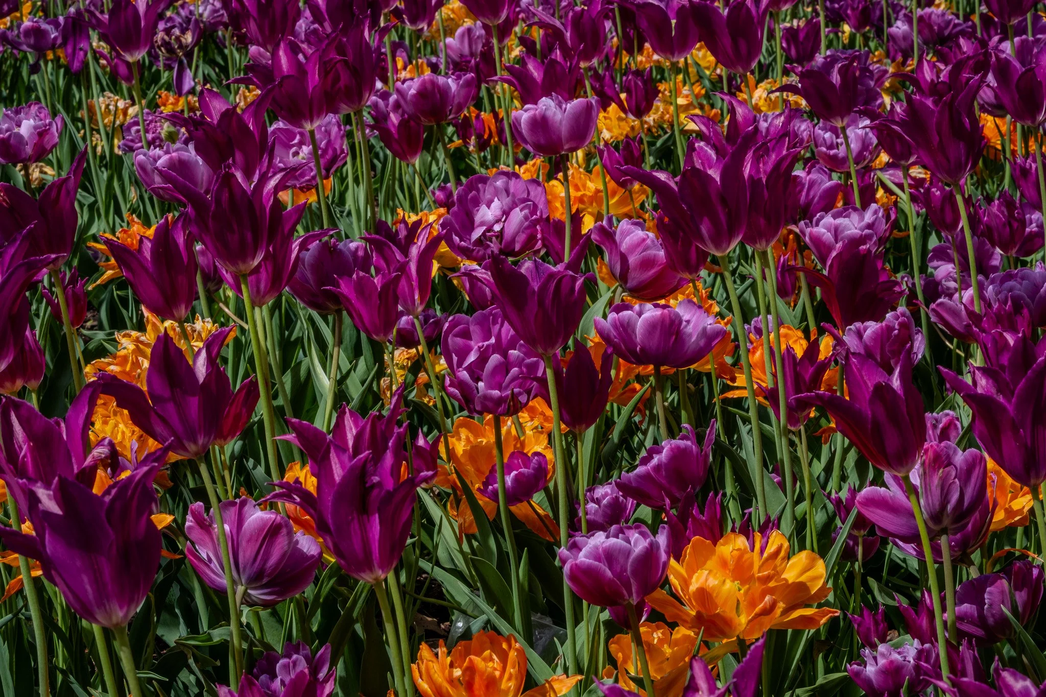
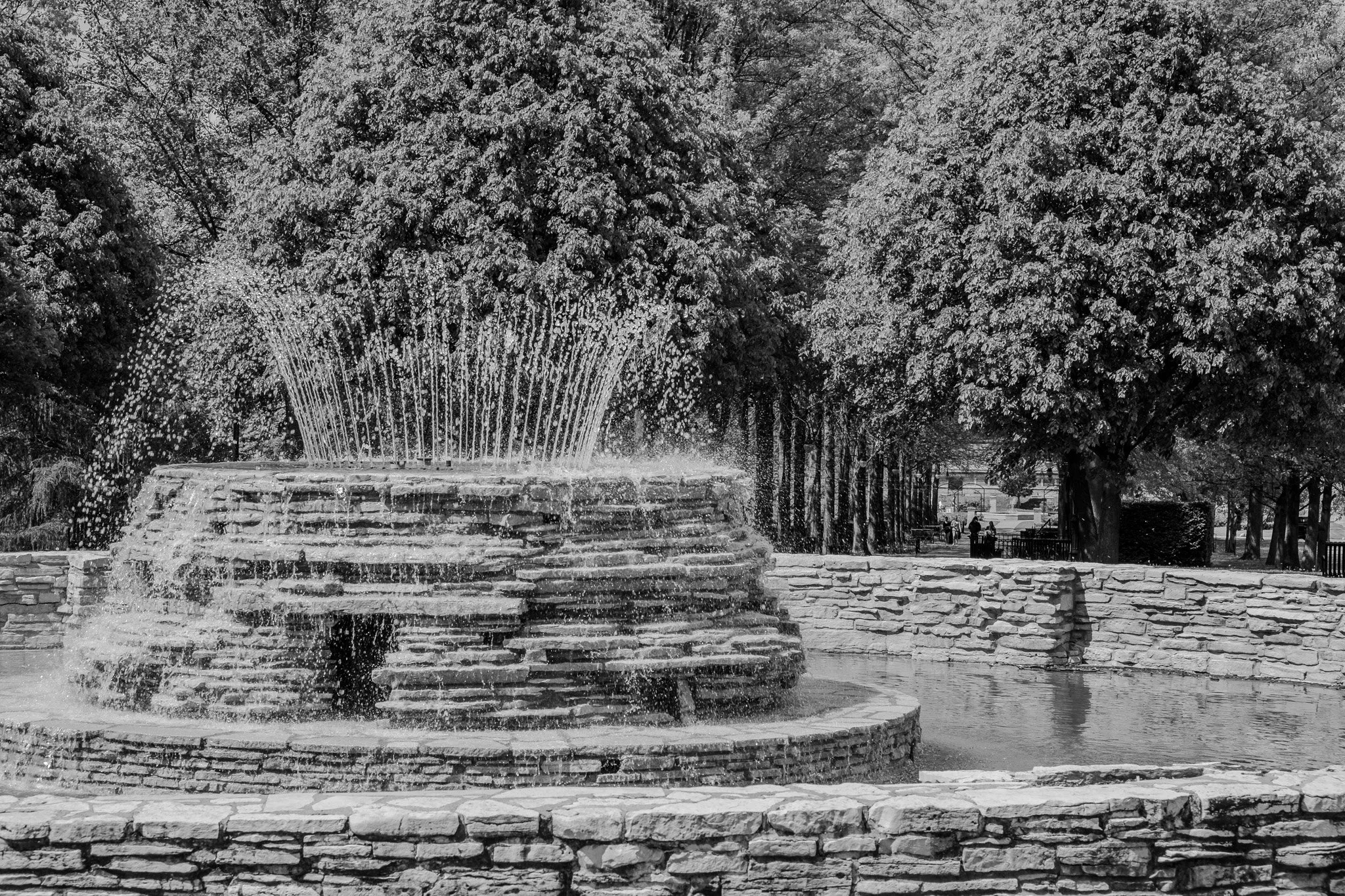
Next stop was the Vander Veer Botanical Park in Davenport, Iowa. The further south we go the more blooms we are seeing.
[Click on Image for Map]
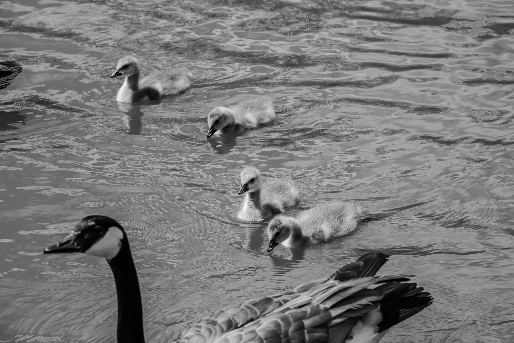
This could be Cascade Lake in Rochester, but Lisa insisted we needed a photo of the goslings; so, here they are!
[Click on Image for Map]
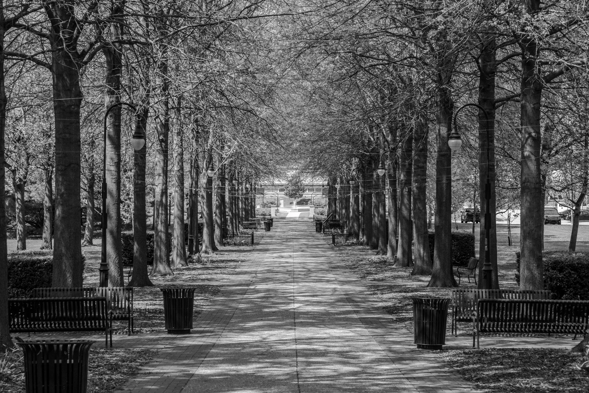
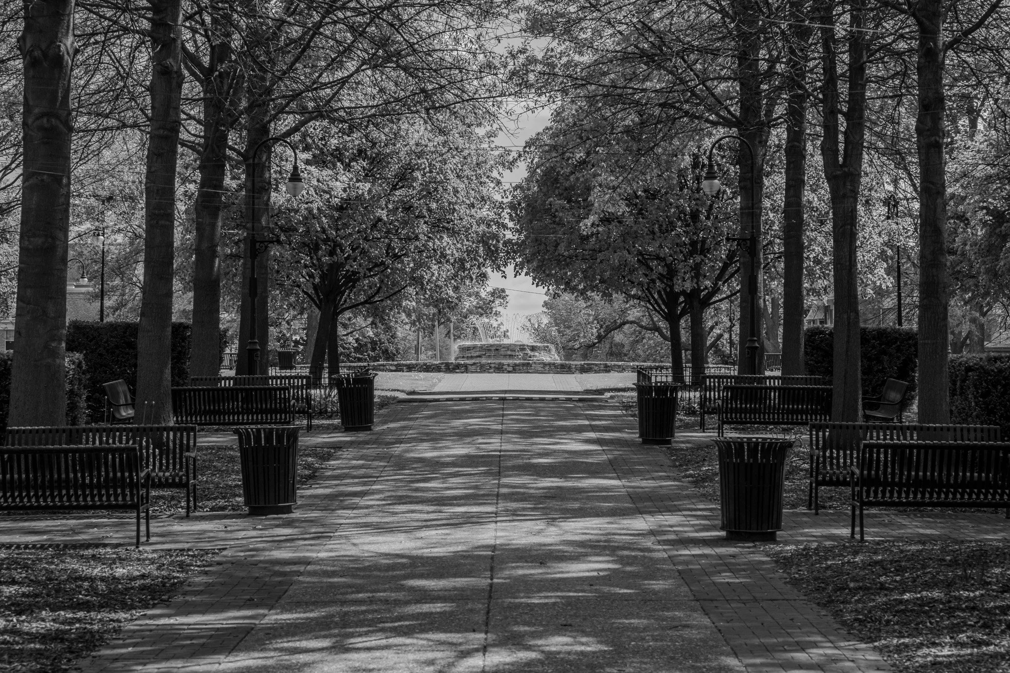
A nice tree-lined walk they call The Grand Alee.
[Click on Image for Map]
[Click on Image for Map]
[Click on Image for Map]
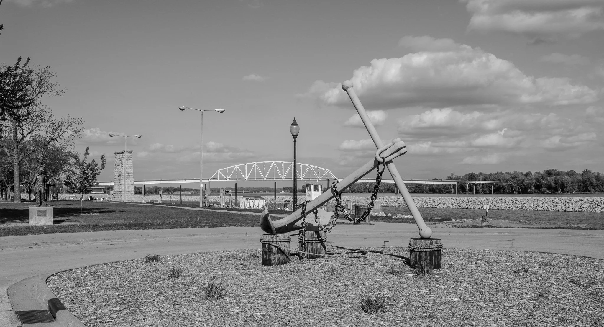
Next stop was Muscatine, Iowa. The bridge here connects to Illinois.
[Click on Image for Map]
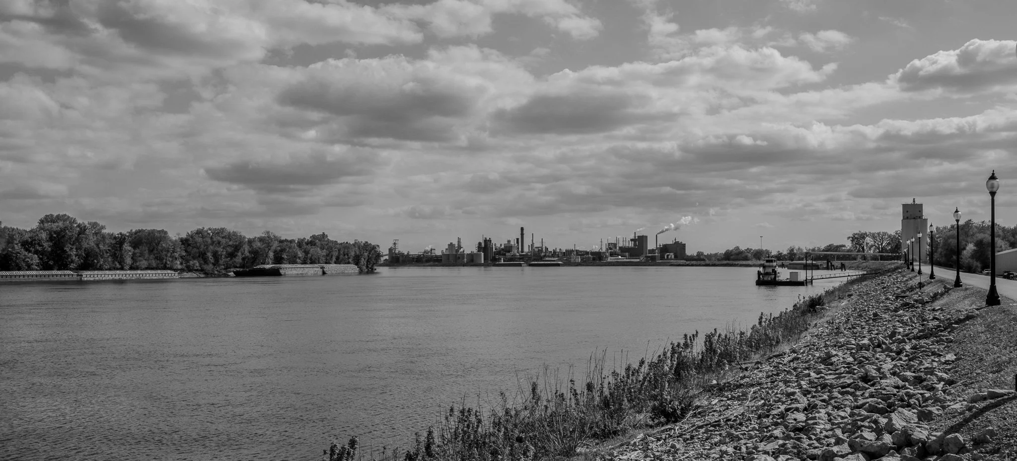
As we travel further south we notice the riverbank is increasingly industrial. This was grain processing and cement just south of Muscatine.
[Click on Image for Map]
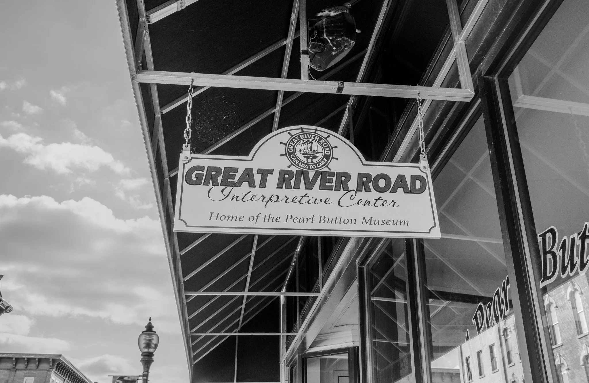
Muscatine is known for the production of pearl buttons. They would harvest oysters from the river and then punch out holes from their shells and these would be the pearl buttons. The Pearl Button Museum was closed on Mondays - a recurring theme we are finding is that many things are dark Mondays.
[Click on Image for Map]

The “main street” of Muscatine. Again, they cater to the Great River Road visitors with shops and restaurants.
[Click on Image for Map]
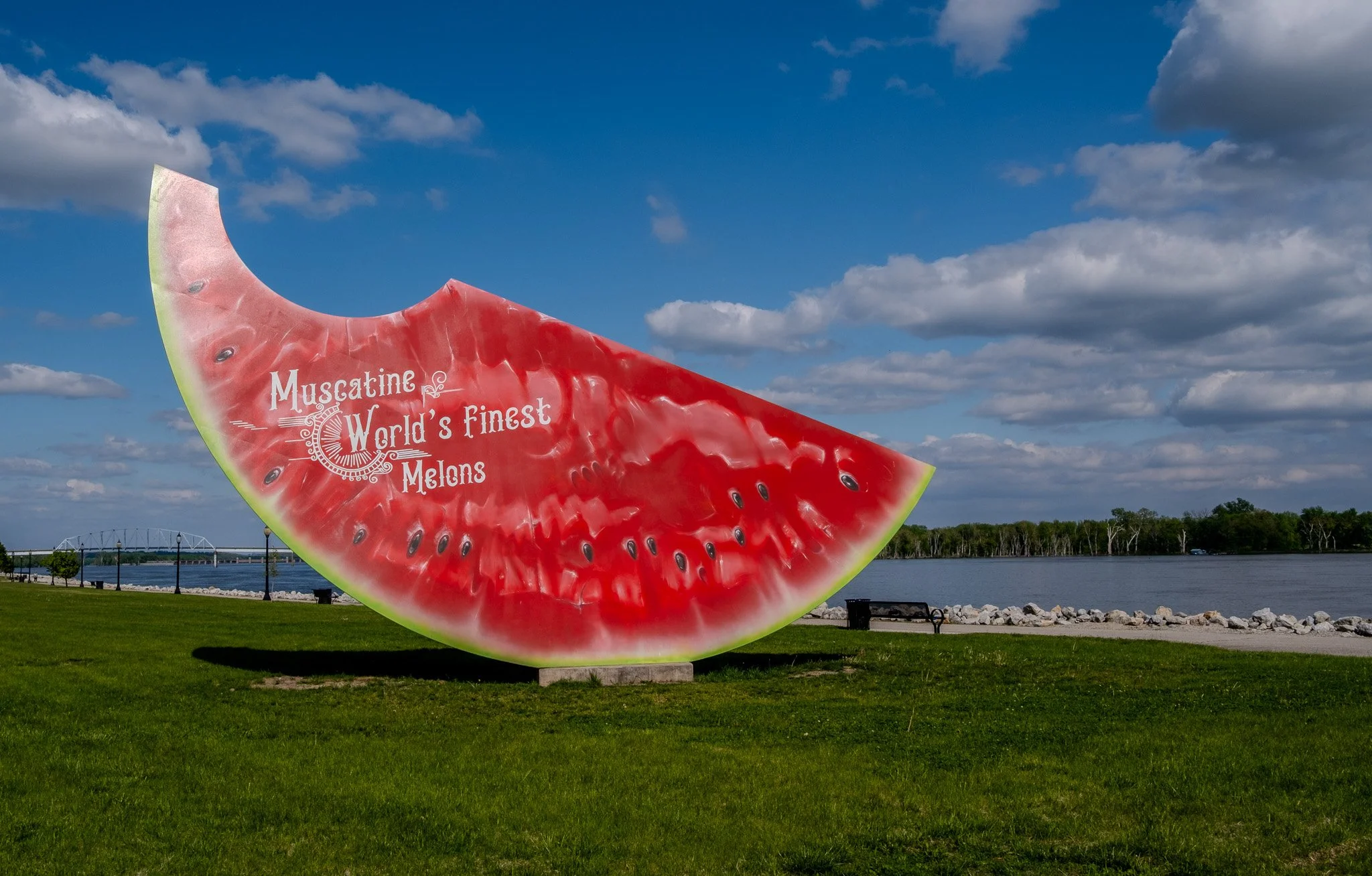
I knew that Muscatine was famous for their pearl buttons; I had no idea they are also known for their melons!
This is reportedly their world’s largest watermelon sculpture.
[Click on Image for Map]
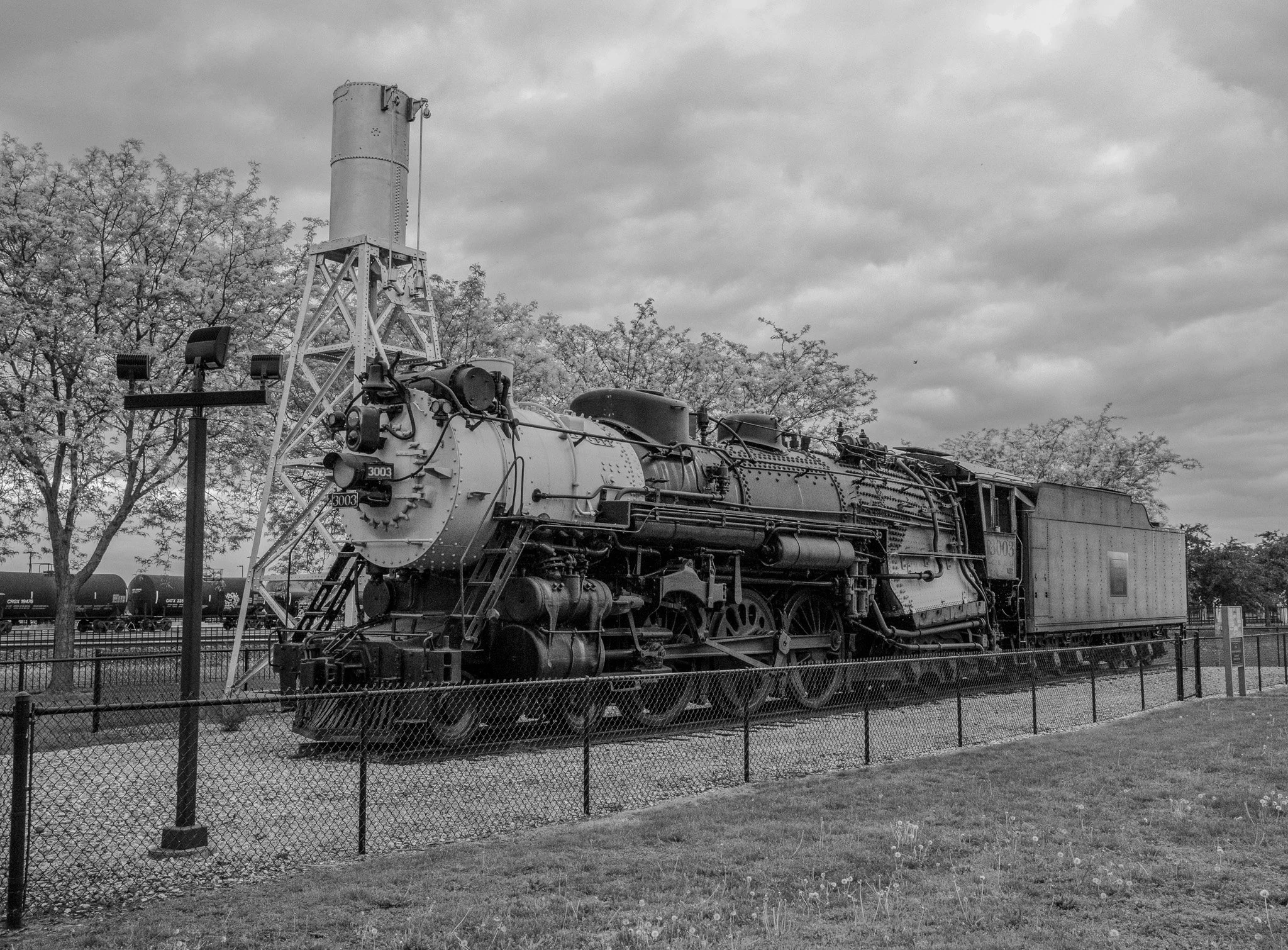
No. 3003 is an S-4 Hudson class passenger locomotive parked in Burlington, Iowa. It was built in 1930 and would pull passenger trains at 90 mph and was capable of doing 120 mph. The locomotive and tender shown here weigh 364 tons! NO. 3003 carried 24 tons of coal and 15,000 gallons of water. This amount of coal and water could pull a heavy train 500 miles before replenishing its coal supply, but would need to stop twice to refill the water tanks for that distance.
[Click on Image for Map]
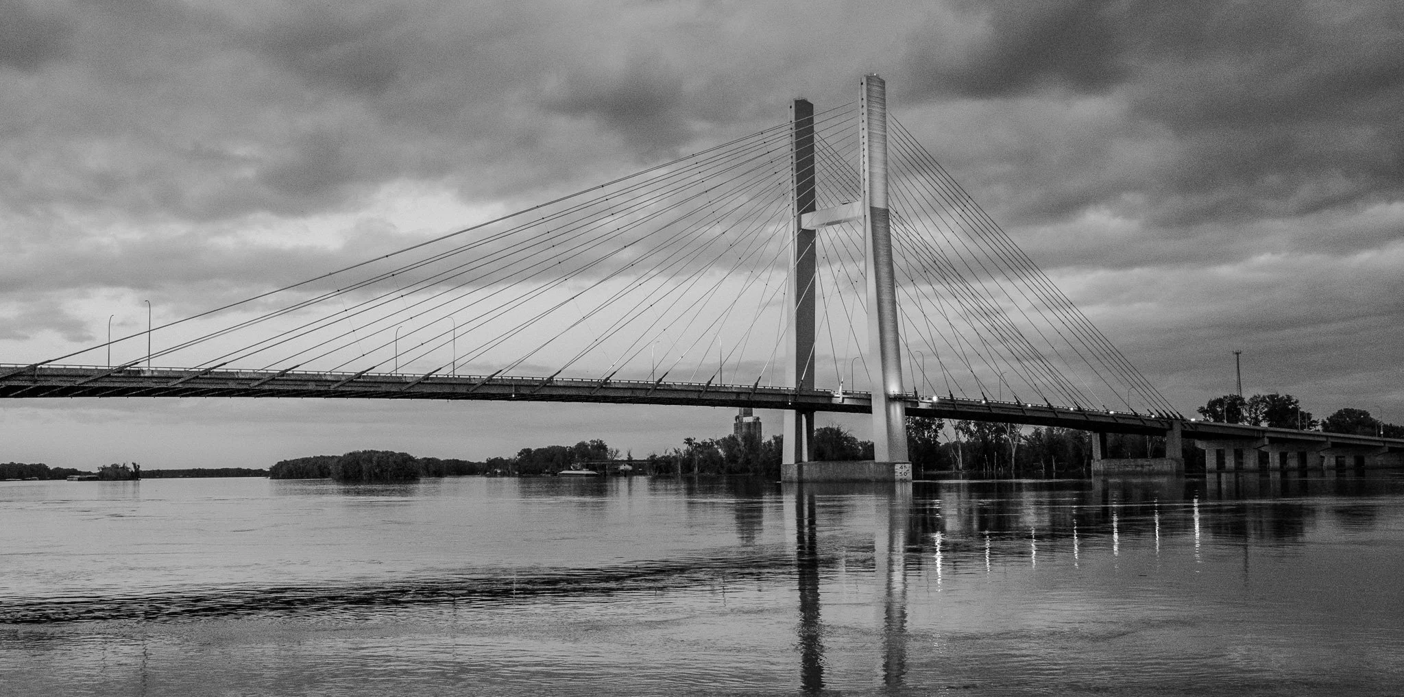
With daylight rapidly fading we were able to get a photo of the lights just coming on the bridge between Burlington and Gulfport, Illinois.
[Click on Image for Map]
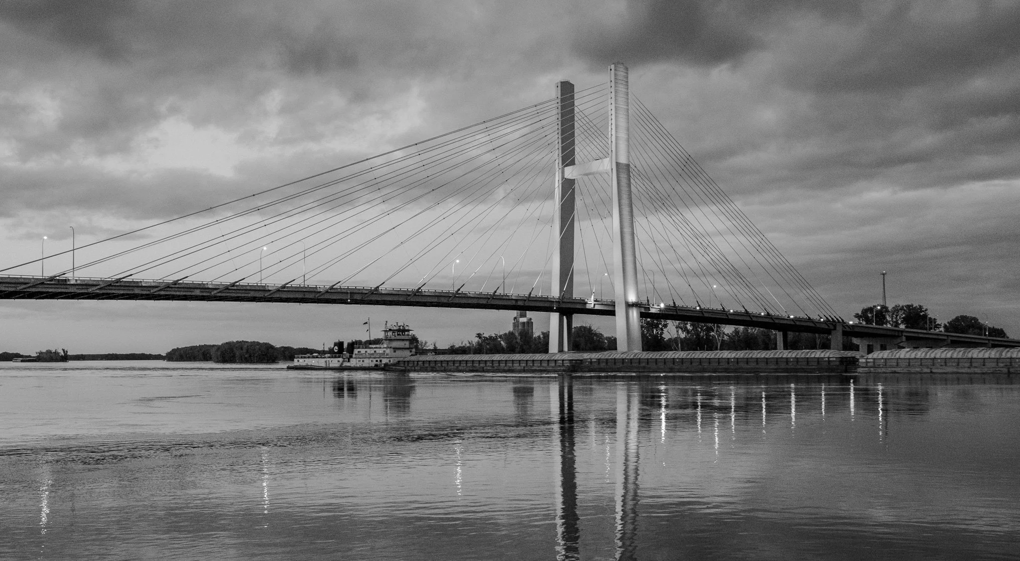
We were about to call it a night when we noticed this southbound tug about to pass under the bridge. I just had to stay and get a photo of that!
[Click on Image for Map]