Route 66 - Day #13
Thursday, April 24, 2026
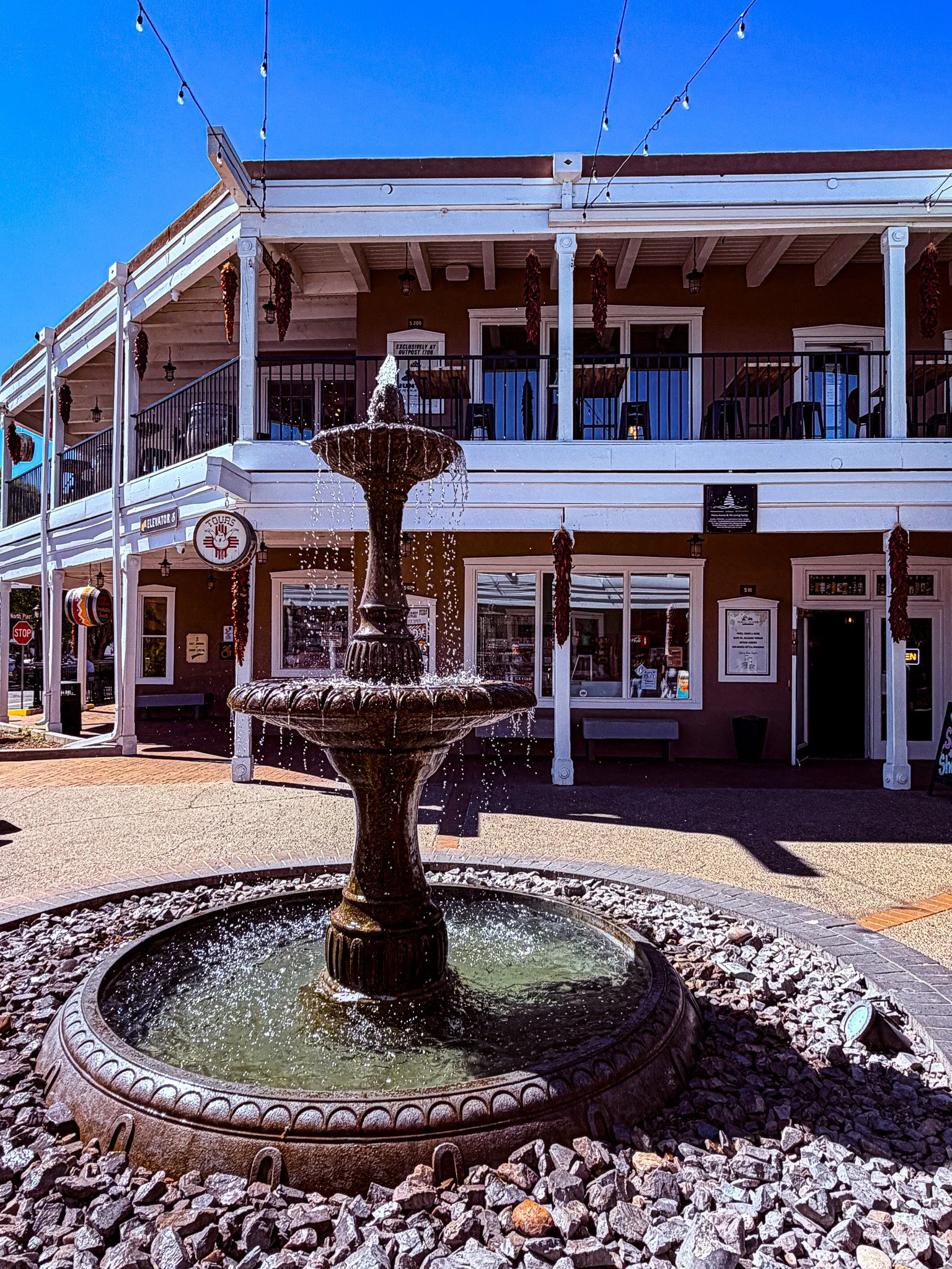
We started today in Old Town Albuquerque. It could be described as a scaled-down version of Santa Fe. Interesting architecture, art galleries and shopping. However, the vibe is a little slower and not nearly as affluent as Santa Fe.
Click on Image for Map.

All your lawn ornamentation needs met in one place. Including several versions of aliens. Albuquerque really capitalizes on the alien theme.
Click on Image for Map.
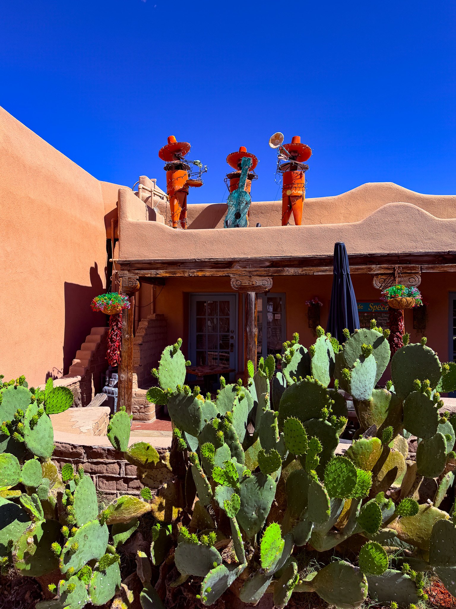
The Fiddler on the roof.
Click on Image for Map.
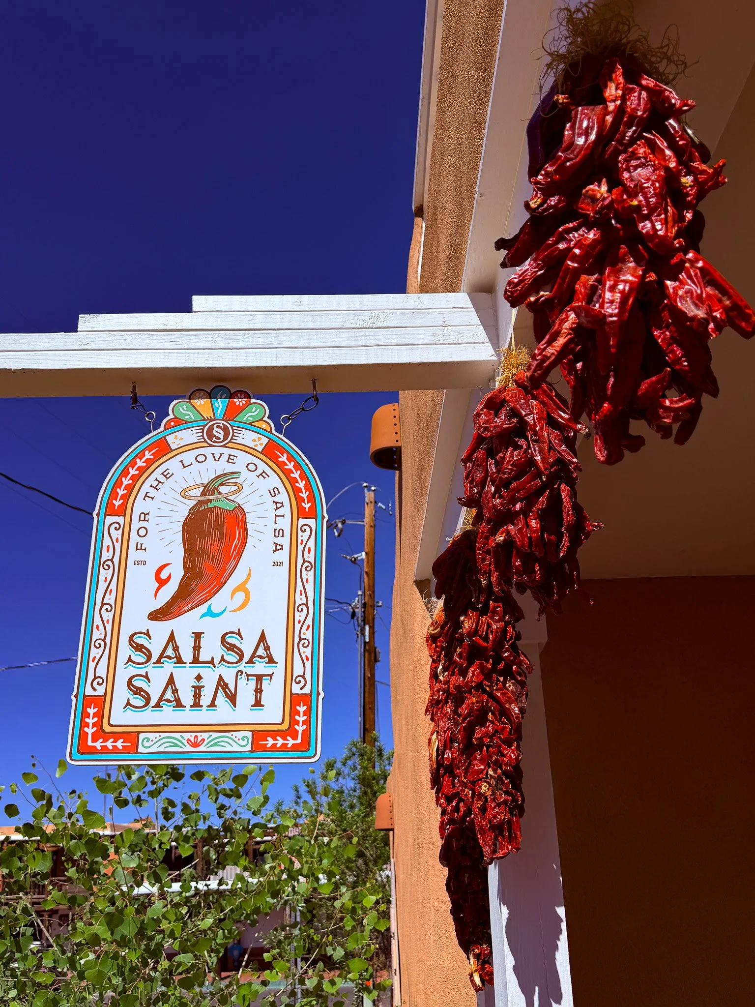
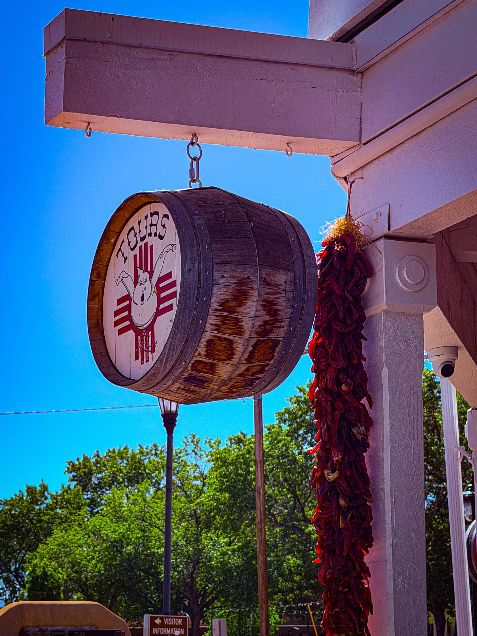
More chilis.
Click on Image for Map.
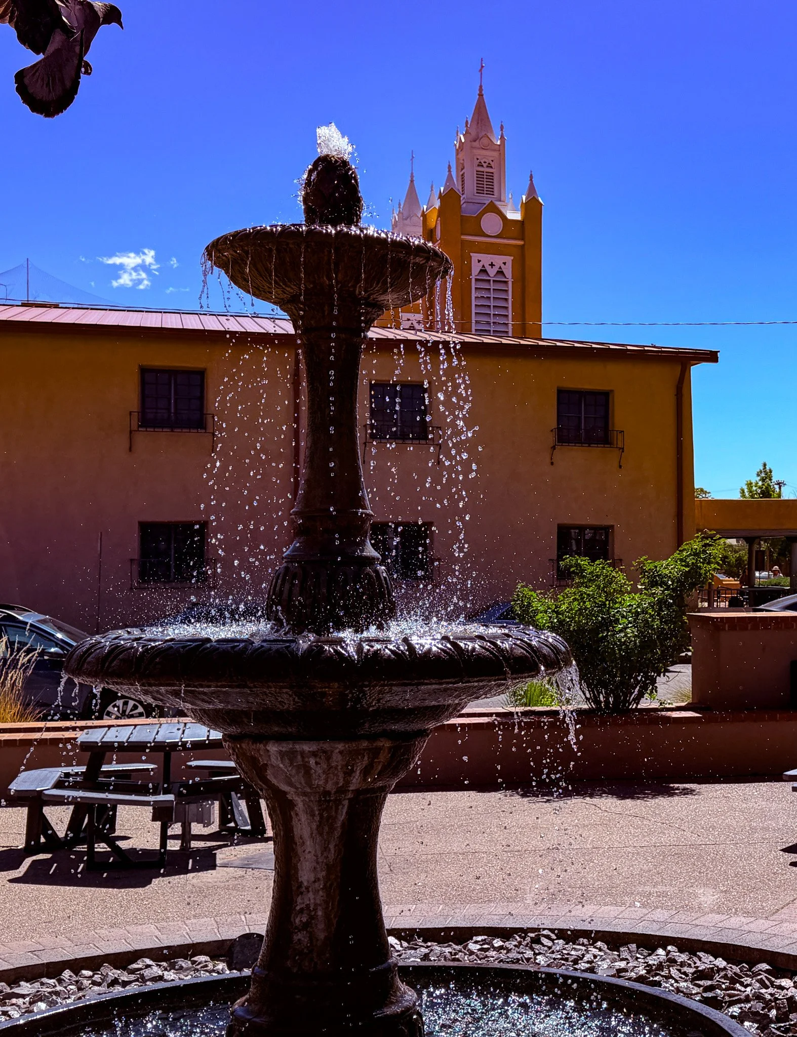
Tried to get the fountain with the church spire - but the pigeon made a last second photo bomb.
Click on Image for Map.
One of these days, in an old city like this - or possibly New Orleans - we are going to go on one of these ghost tours.
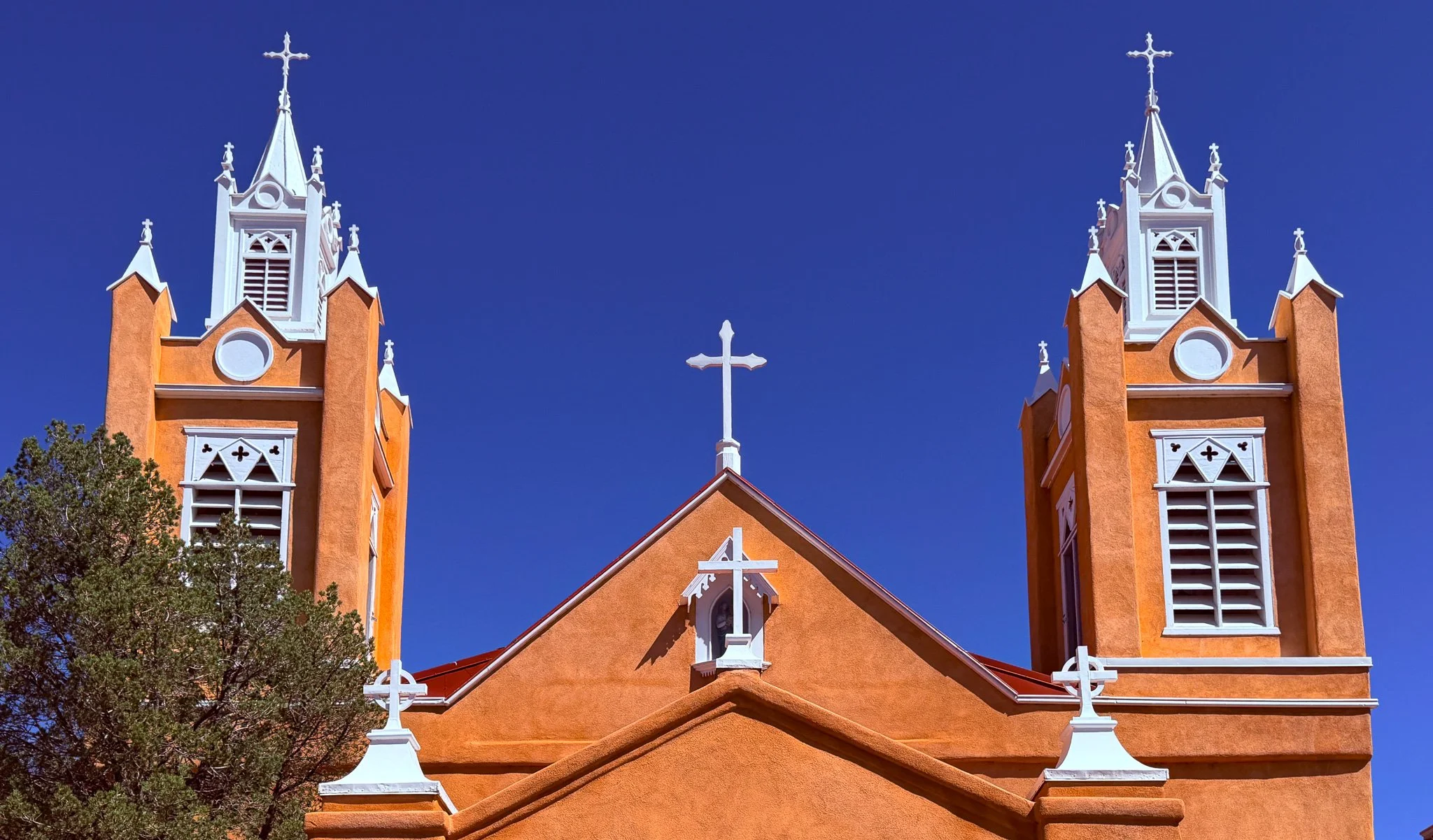
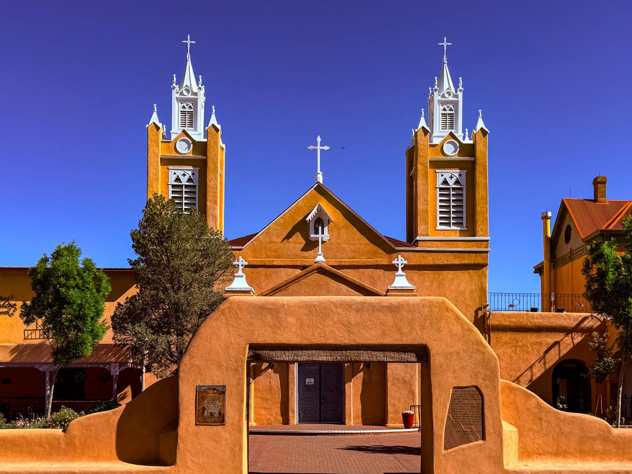
Another view of the spires of the San Felipe de Neri Catholic Church.
From ChatGPT:
San Felipe de Neri Church, located in Albuquerque’s Old Town, dates to 1793 and is one of the city’s oldest surviving buildings. Built of adobe, it reflects Spanish colonial architecture. The church remains an active parish, anchoring the historic plaza and offering insight into early New Mexican religious and cultural life.
Click on Image for Map.
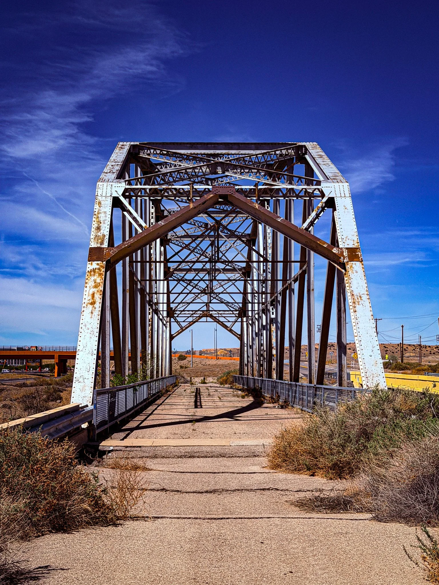
We made a quick stop to walk across the Old Rio Puerco Bridge. It is in pretty rough shape at this point.
From ChatGPT:
Old Rio Puerco Bridge, located west of Albuquerque along historic Route 66, was built in 1933 as part of the realignment of the highway. This steel through-truss bridge spans the often-dry Rio Puerco and replaced earlier crossings prone to flooding. Now closed to traffic, it stands as a preserved relic of early automobile travel and Route 66 engineering in New Mexico.
Click on Image for Map.
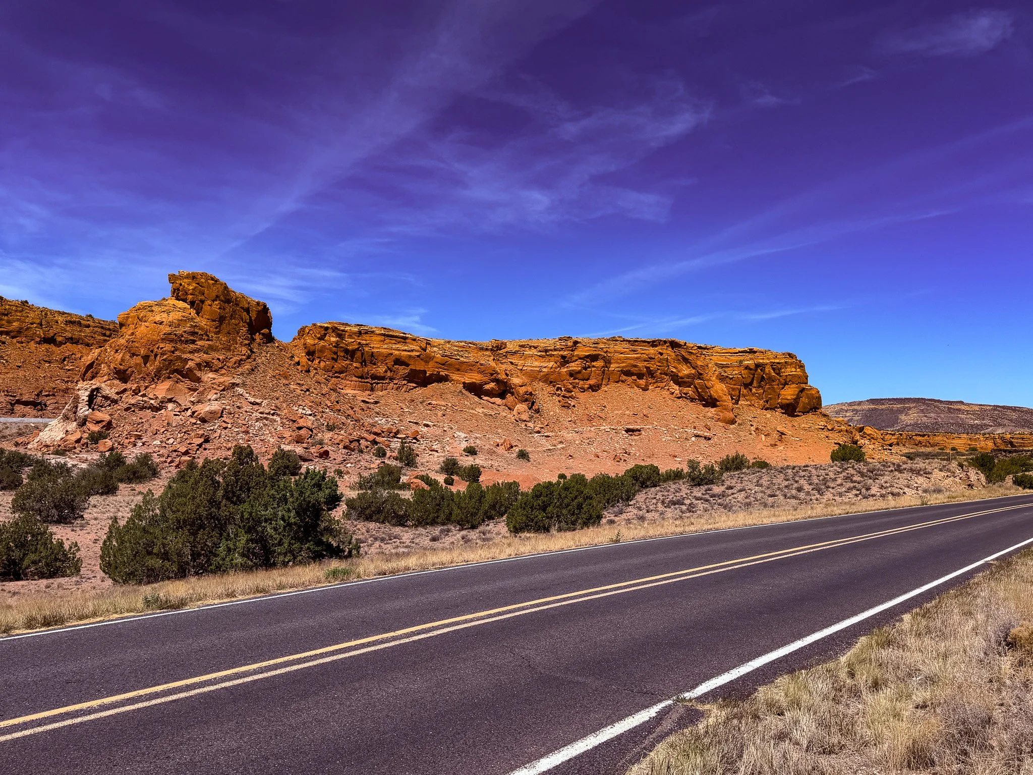
It was right around here, with old Route 66 in the foreground, that we realized - “Toto, I’ve a feeling we’re not in Kansas anymore.”
Click on Image for Map.
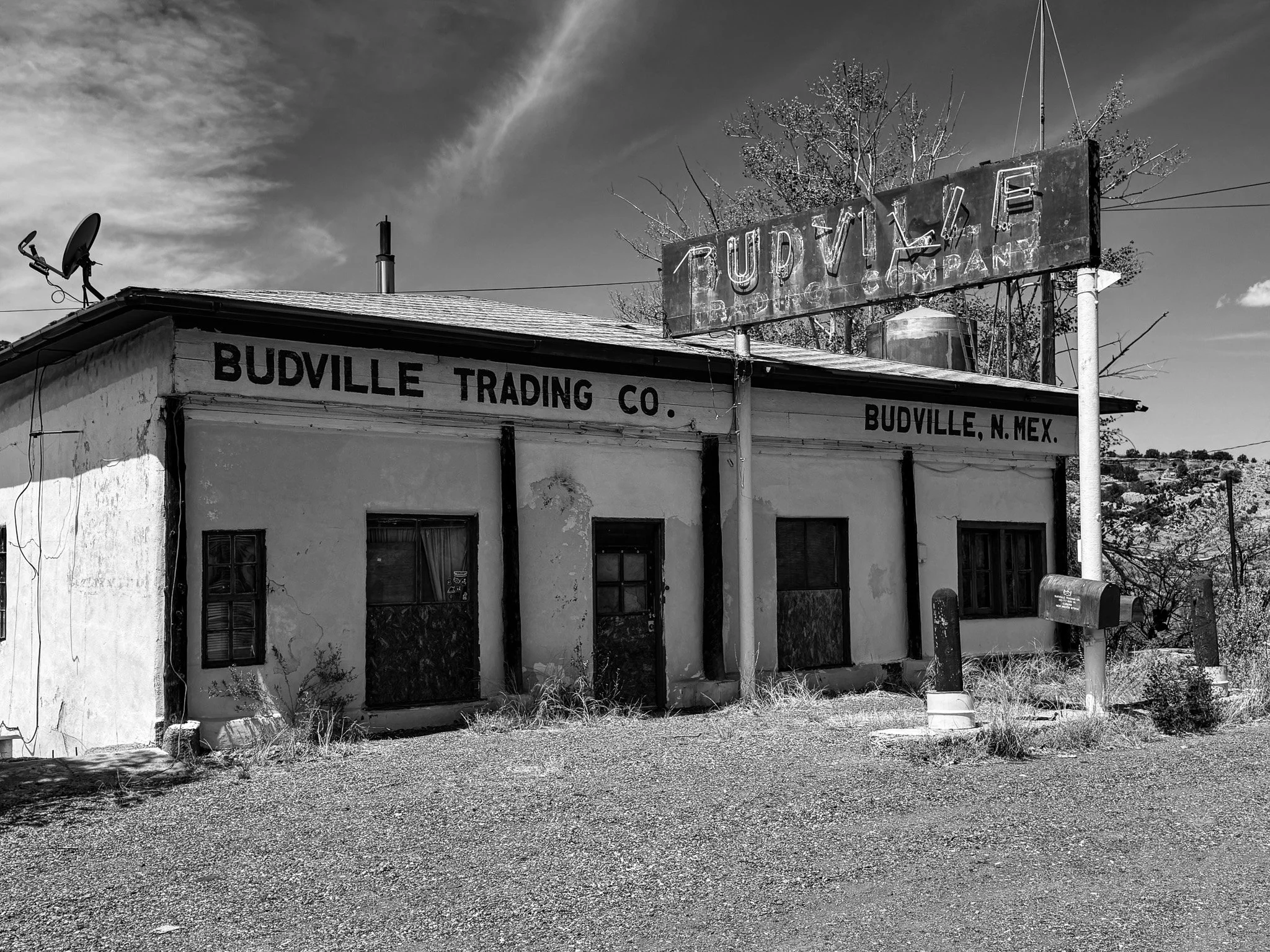
These are the remains of the old Budville Trading Company building. This is a very often photographed stop along this part of Route 66 because of its dark history.
From ChatGPT:
Budville Trading Company began as a simple 1928 service station but grew into a powerful roadside empire run by H.N. “Bud” Rice. Known for aggressive tactics—like heavy fines and overcharging travelers—Rice built influence and enemies. In 1967, he and an employee were brutally murdered during a robbery, earning the area the nickname “Bloodville.” Another killing followed in 1971, deepening its violent legacy.
Click on Image for Map.
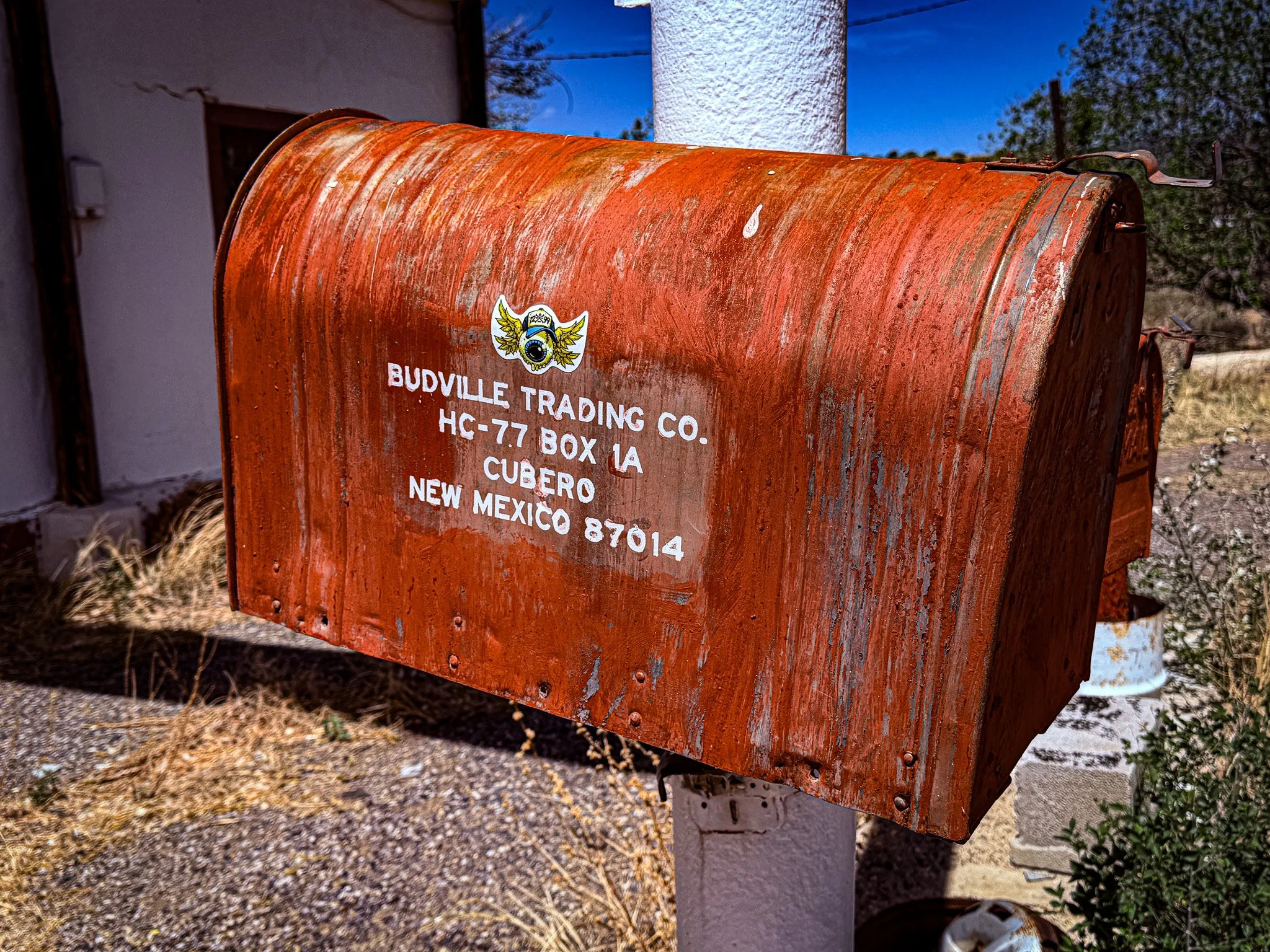
I peeked inside the mailbox and there was mail in there. I didn’t nose around further to investigate.
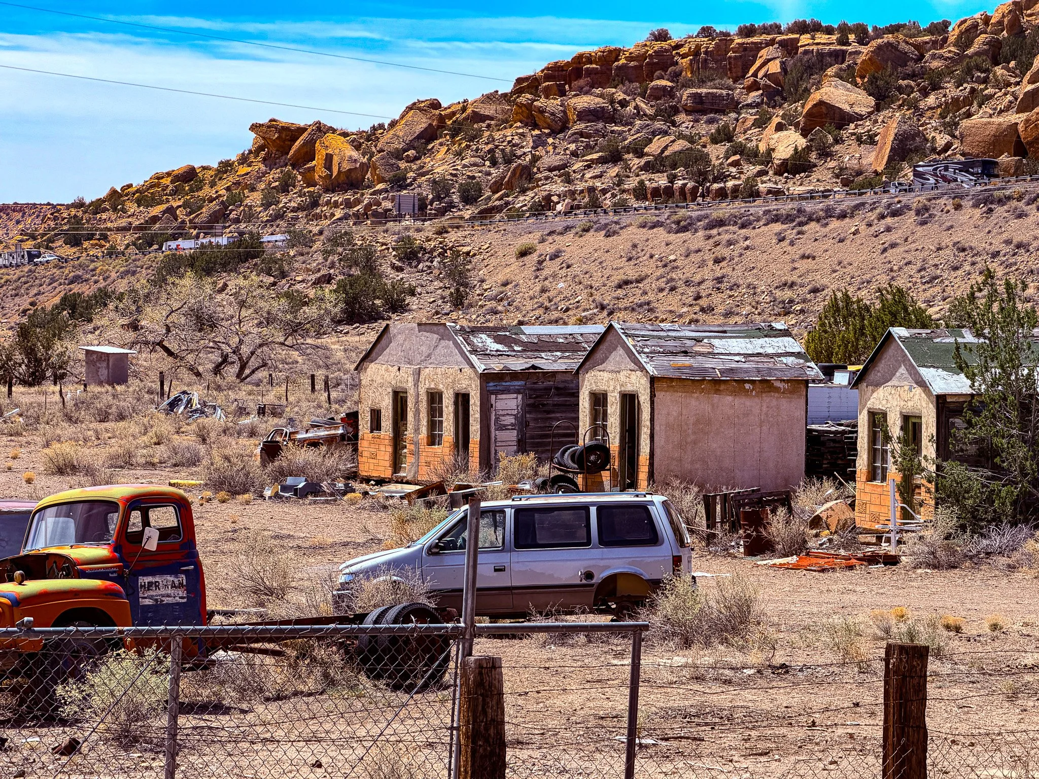
The Route 66 corridor of New Mexico is absolutely beautiful. However, what we have found disturbing is the level of abject poverty. I would like to say this photo is uncommon, but unfortunately, from what we have seen, it is the “norm” for much of the area surrounding Route 66.
Click on Image for Map.
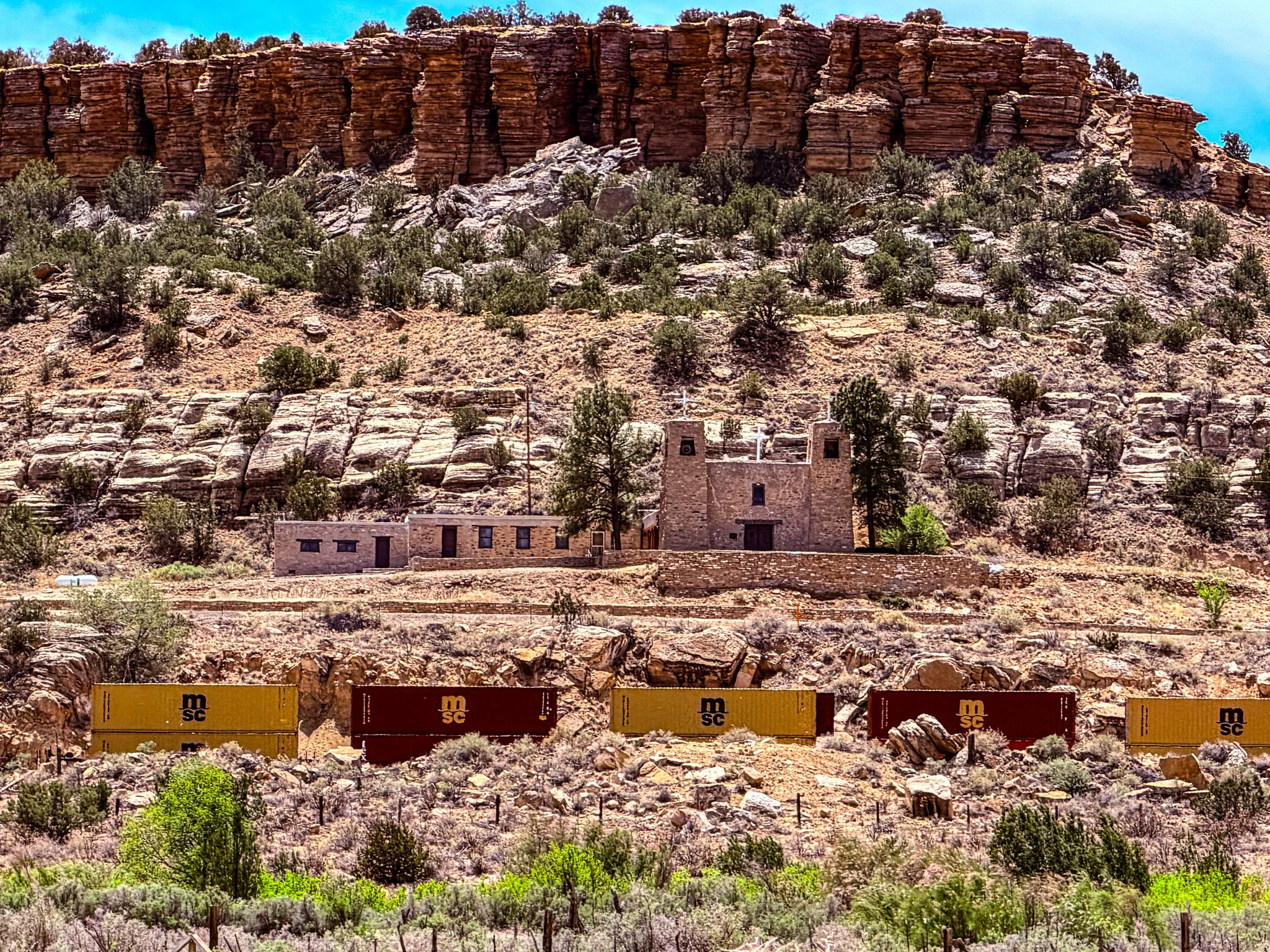
Looking across Interstate 40 and the railroad tracks, we saw this nice looking chapel basically built into the side of the hill. This is Santa Maria Mission.
From ChatGPT:
Perched on a hillside near McCartys Pueblo, the Santa Maria de Acoma Mission is a striking stone church built in 1933 in Spanish Colonial style. With twin square towers and a flat roof, it overlooks Route 66, the railroad, and lava fields, standing as a dramatic landmark of Pueblo and Catholic heritage.
Click on Image for Map.
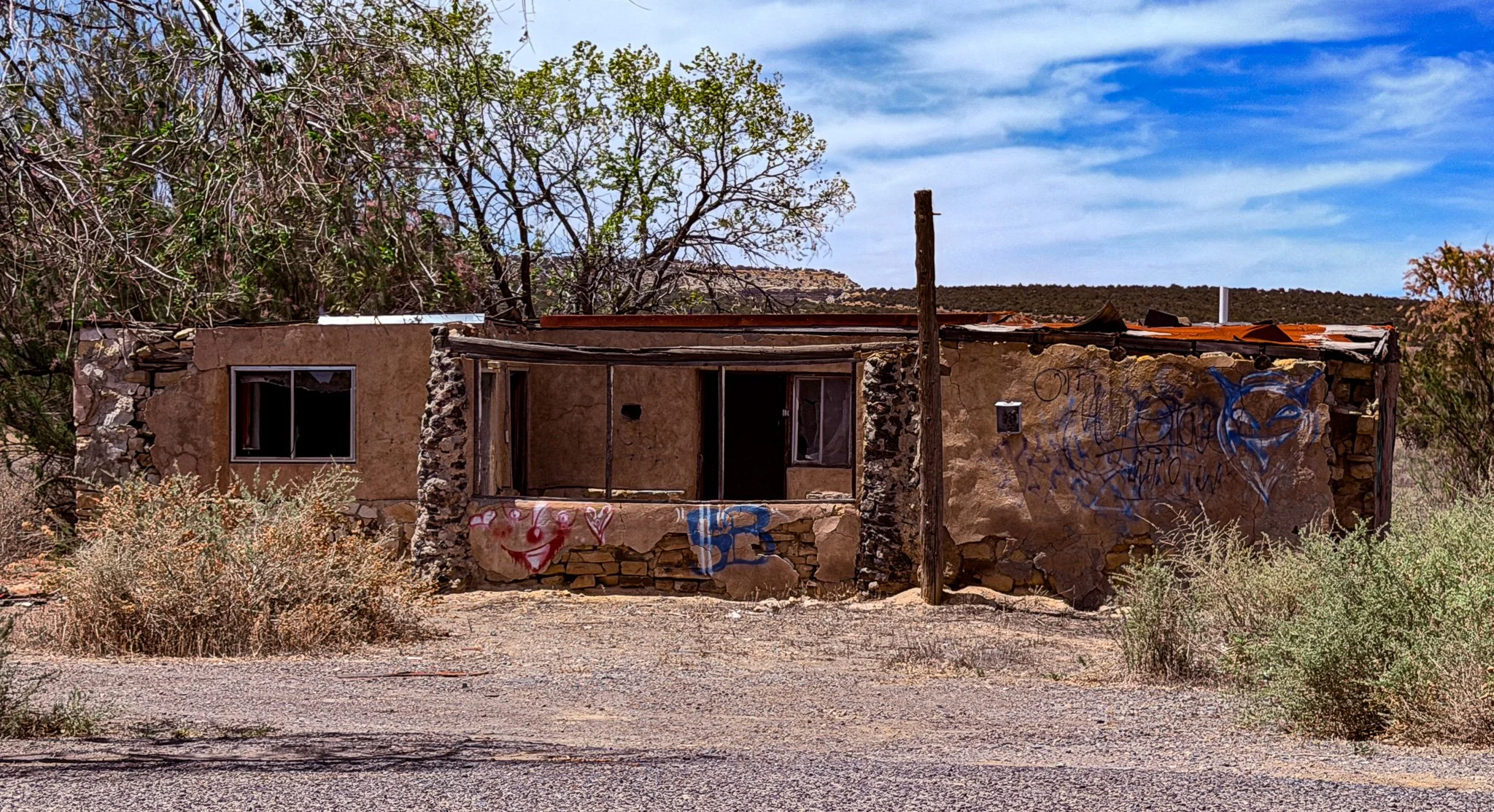
More ruins and evidence that the best economic times for this area may be solidly in the past.
Click on Image for Map.
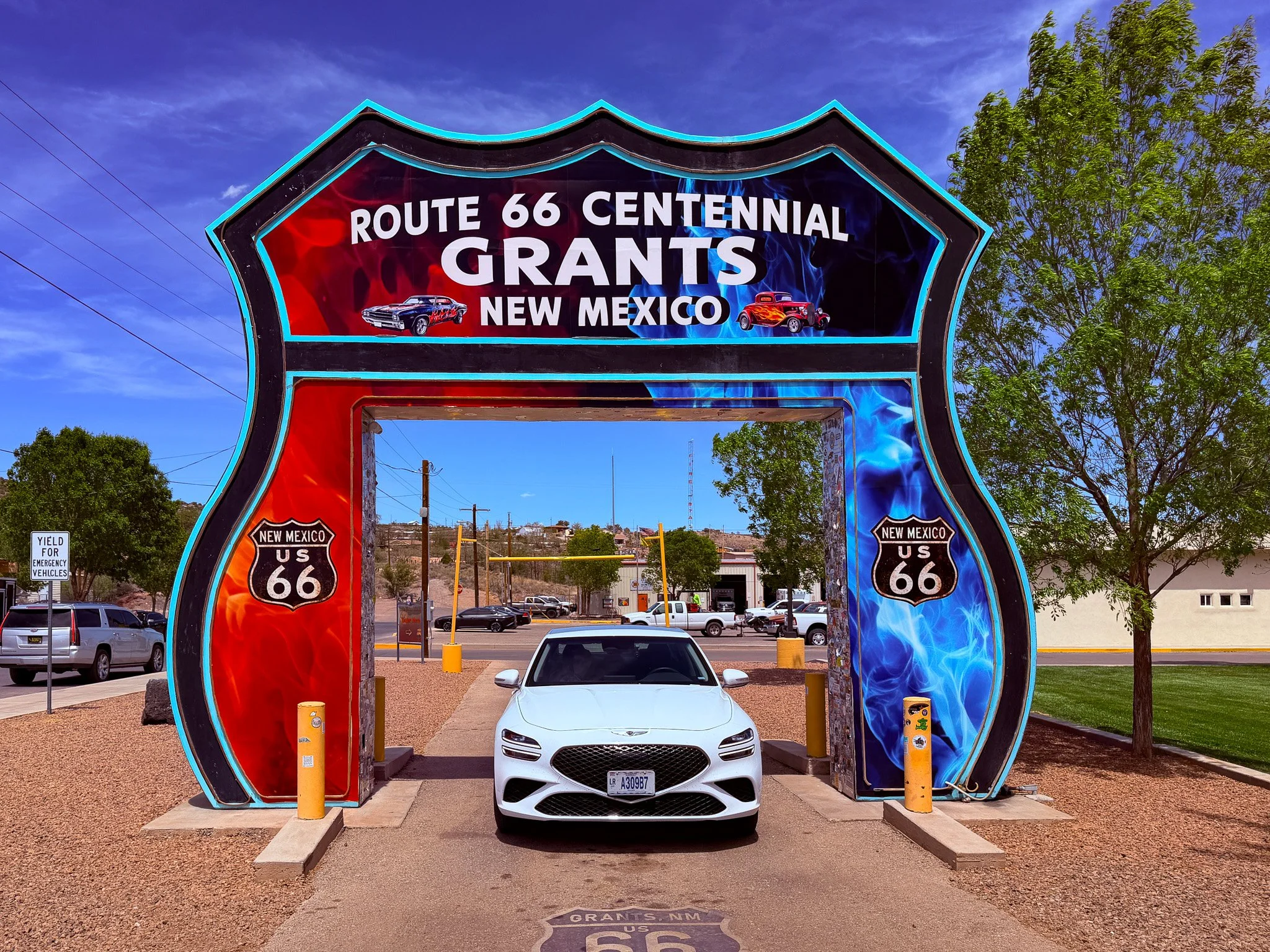
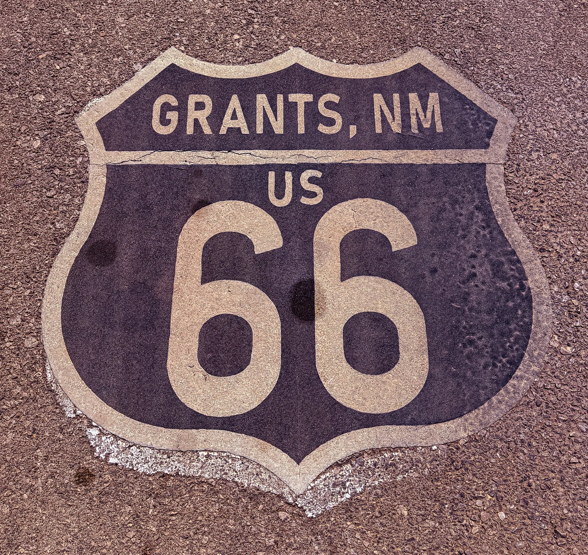
Arriving in Grants, NM we had to take the obligatory photo of the drive-thru shield.
Click on Image for Map.
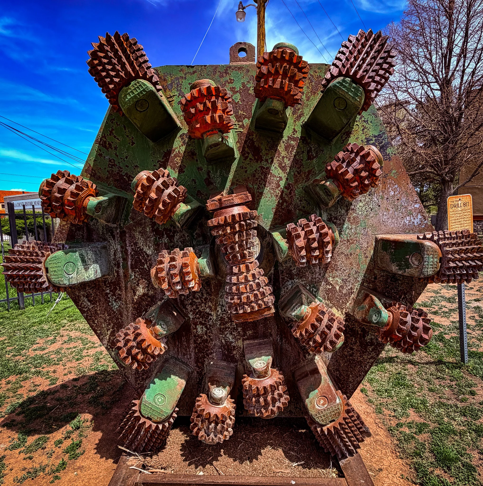
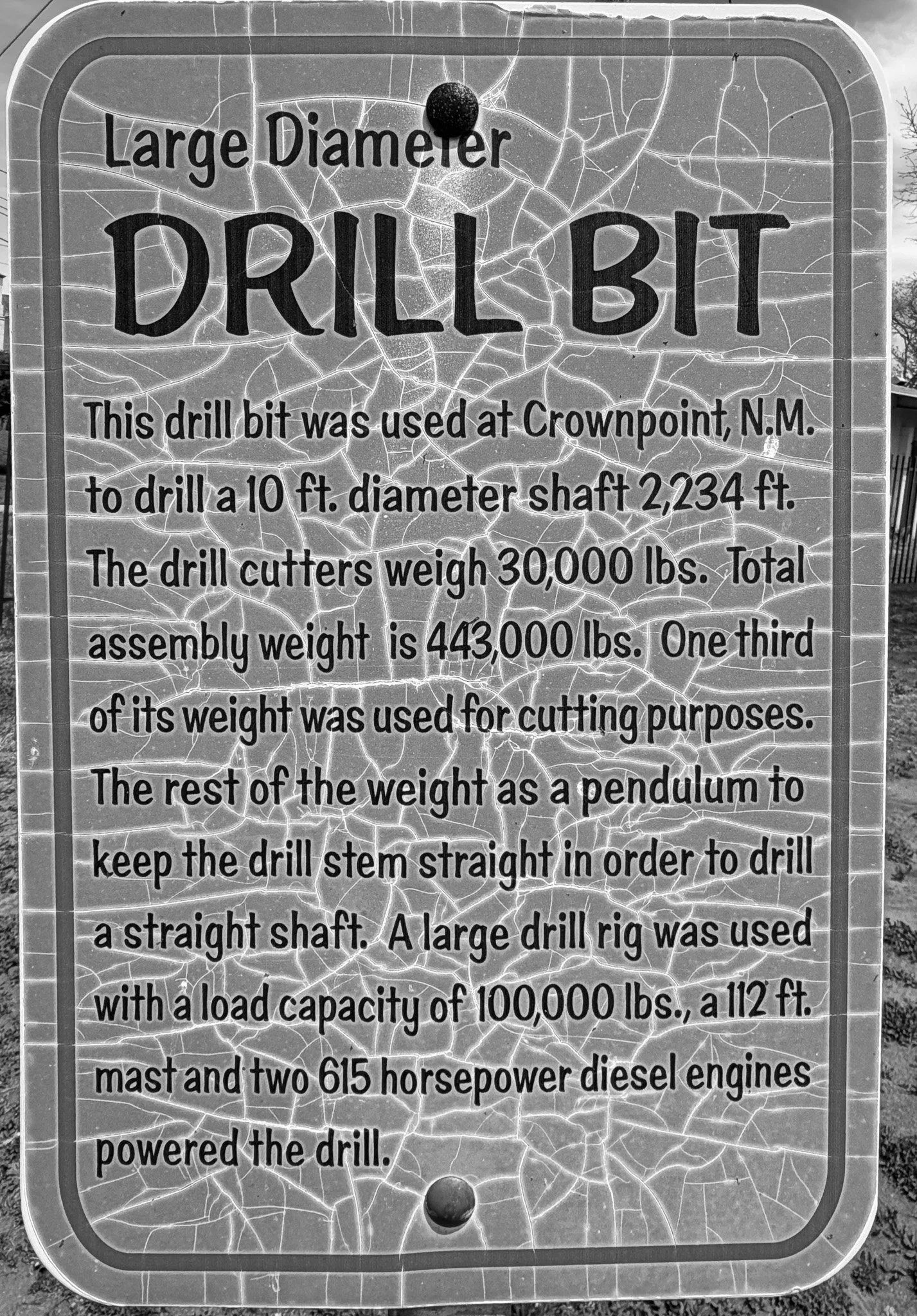
Just across the park in Grants is the New Mexico Mining Museum. We didn’t have time to visit, but this huge drill bit required a photo.
Click on Image for Map.
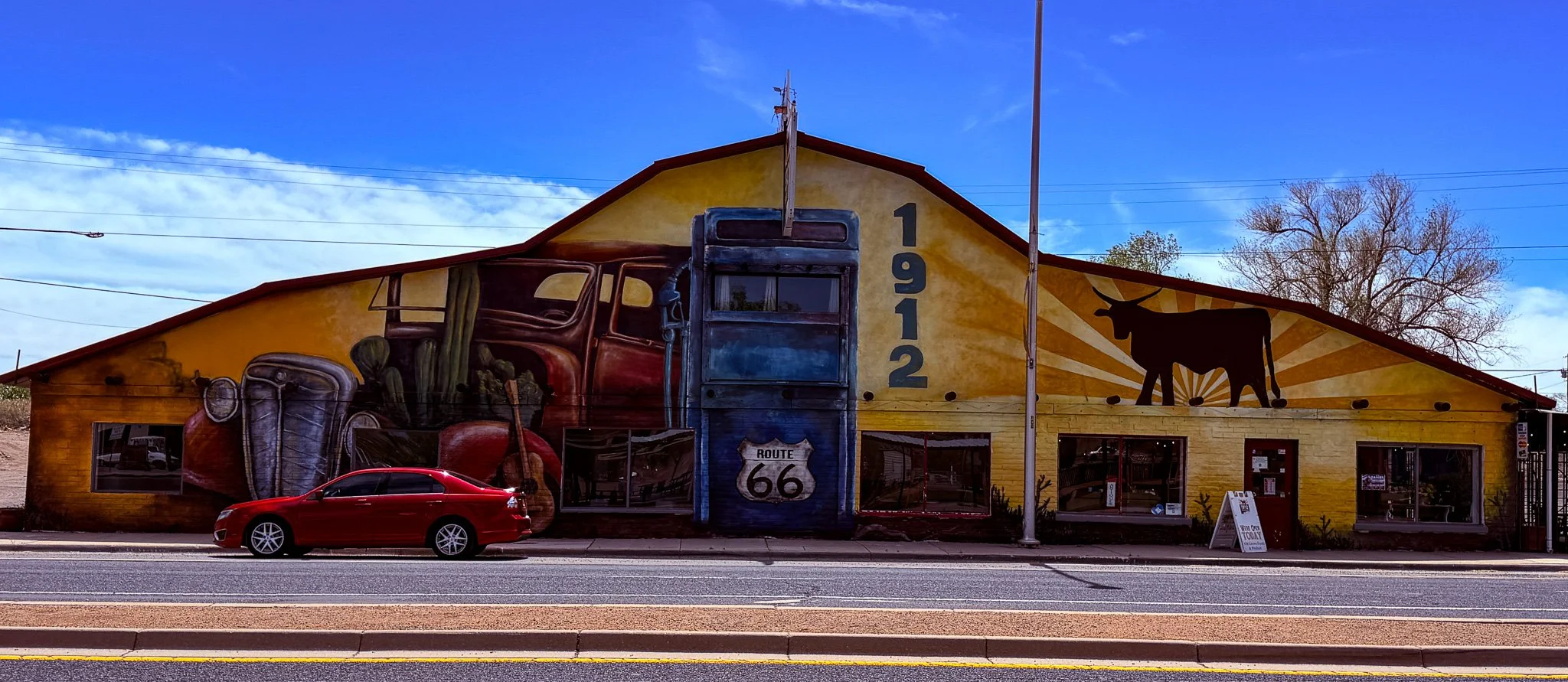
Downtown Grants, NM. Too bad that red car was parked there.
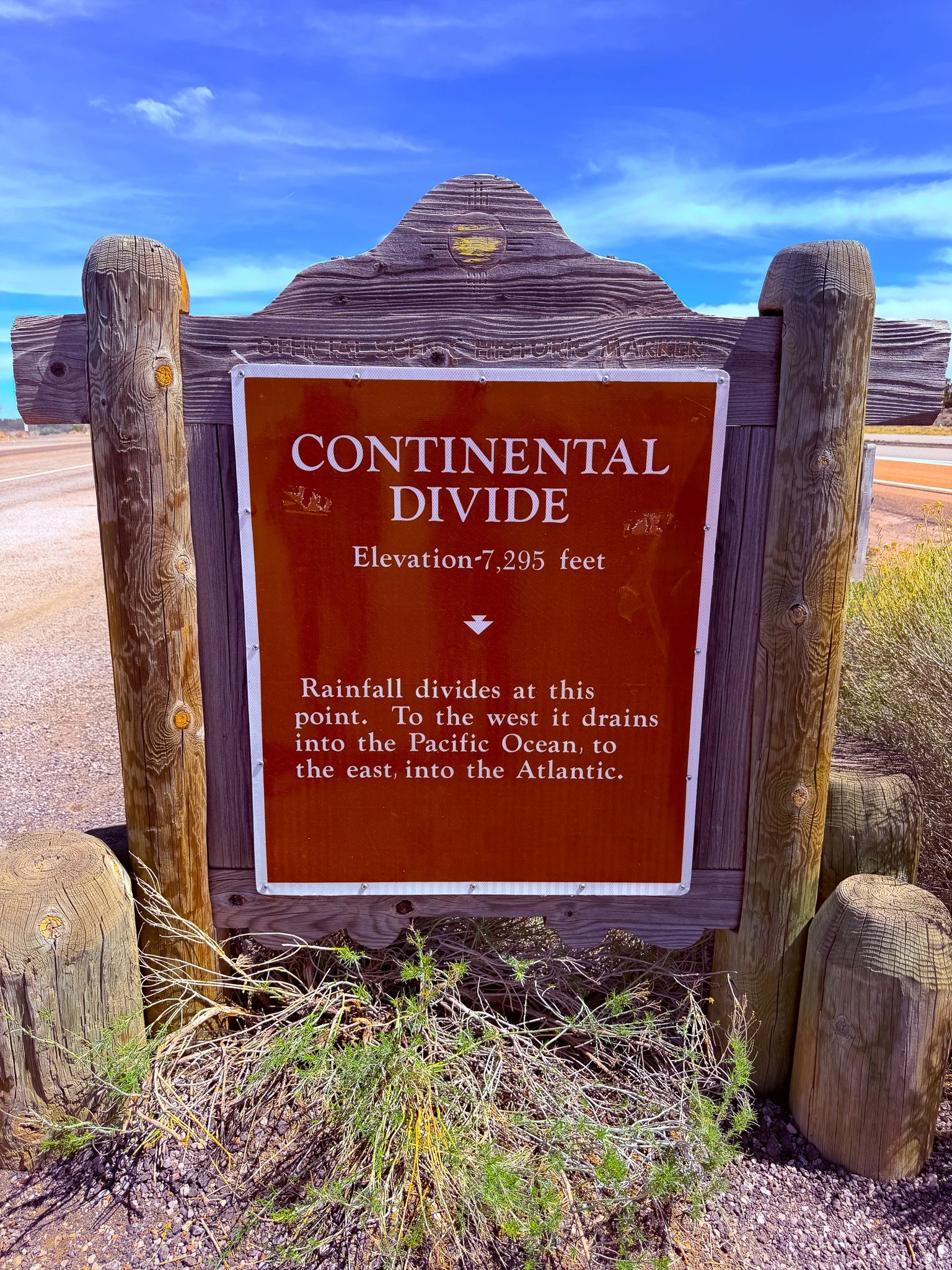
Route 66 crosses the Continental Divide a little before Gallup, NM.
Click on Image for Map.
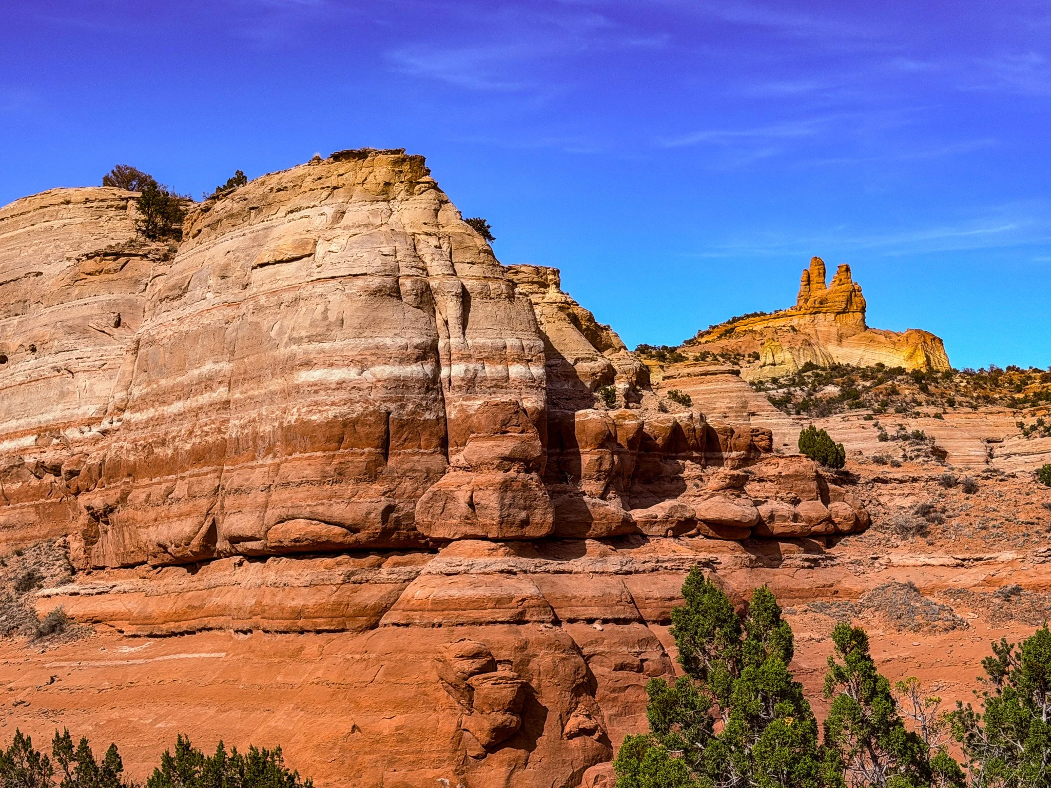
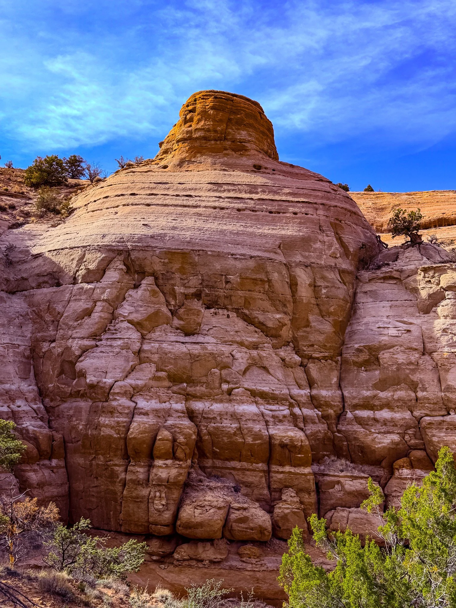
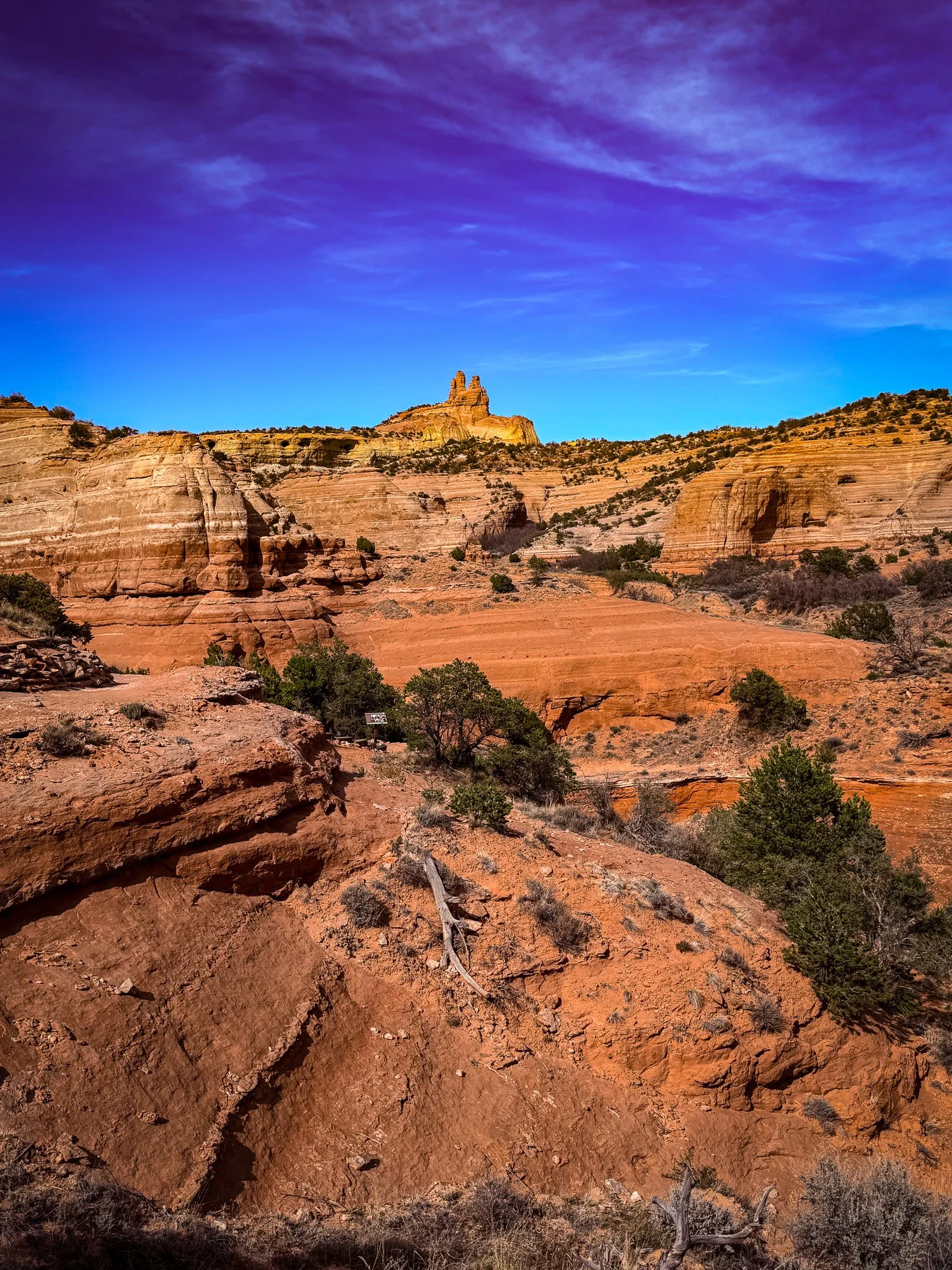
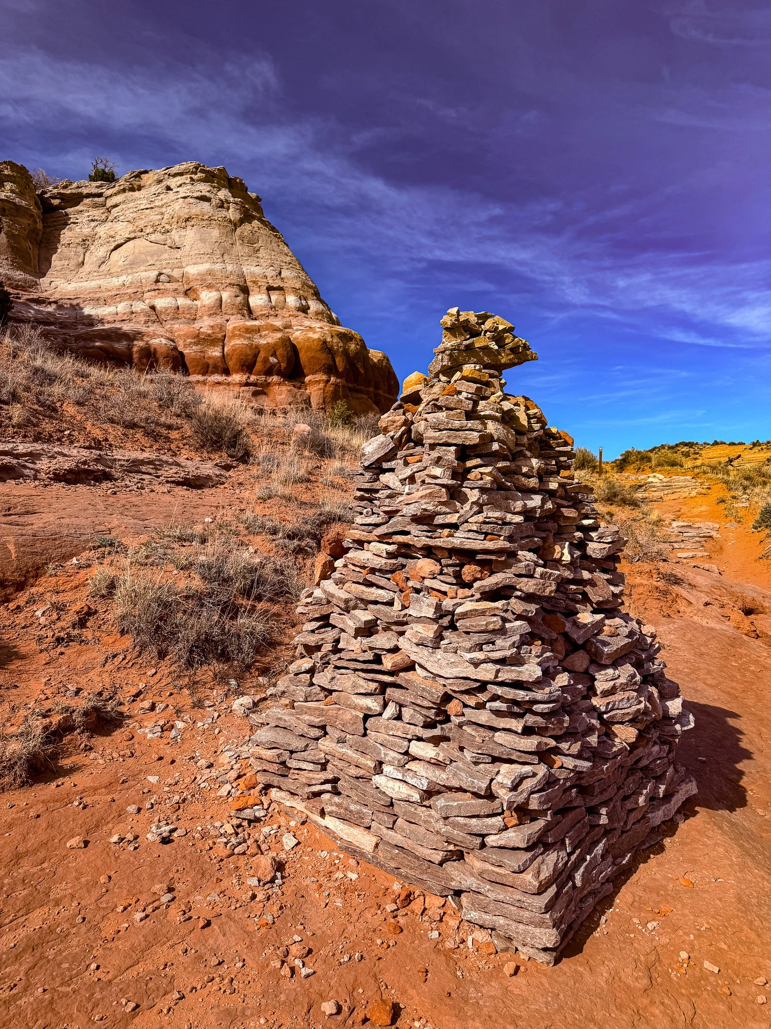
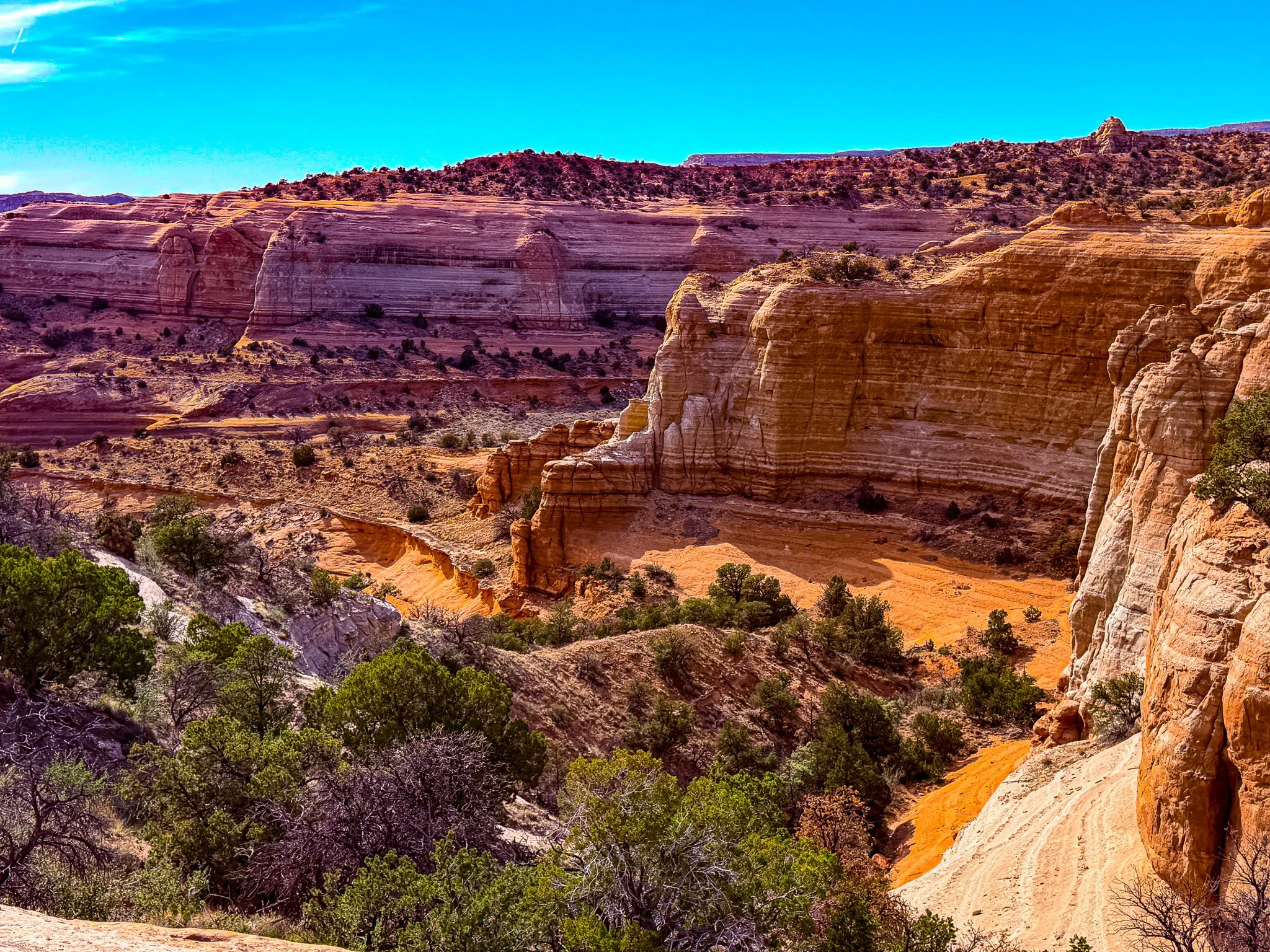
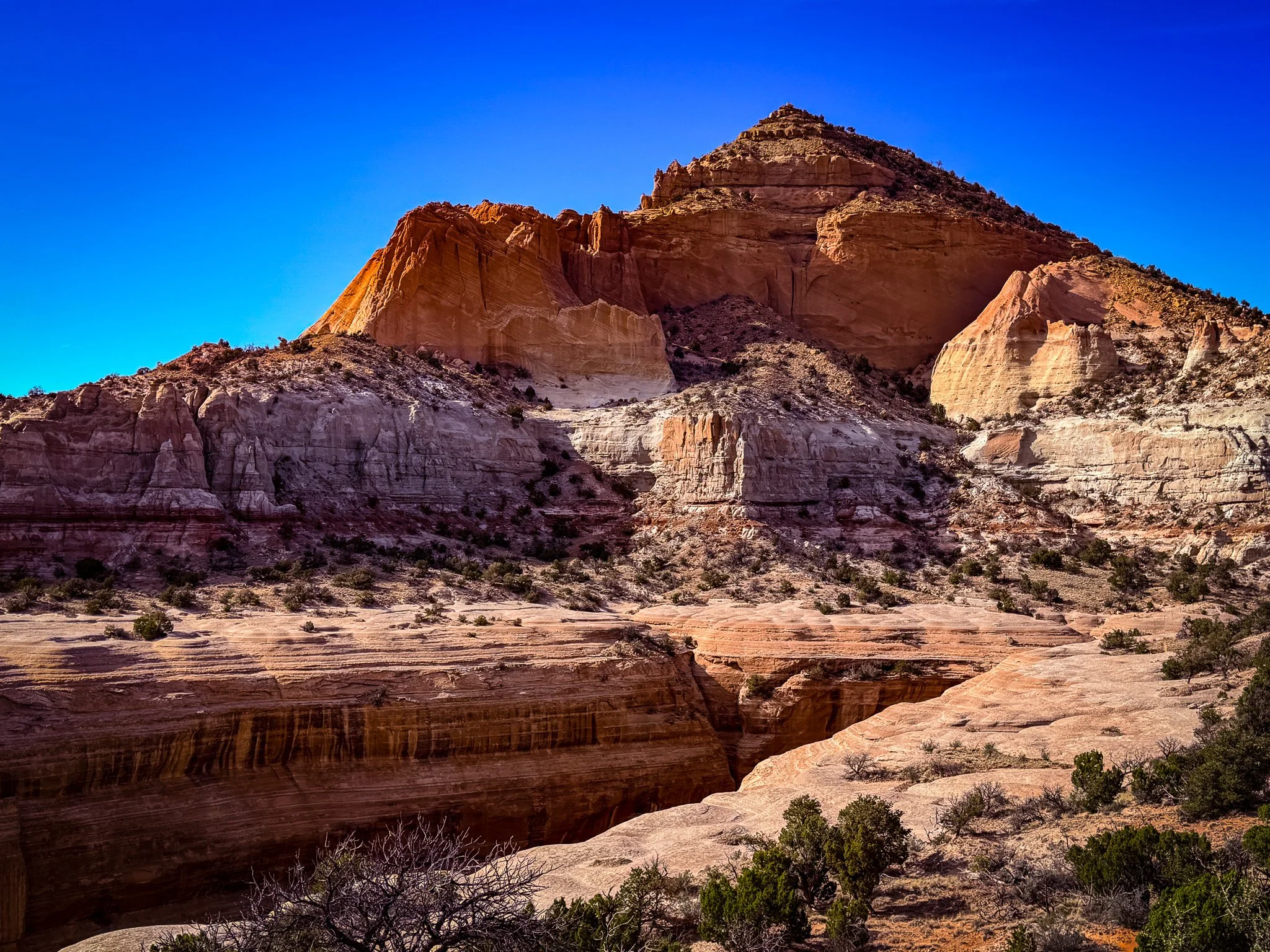
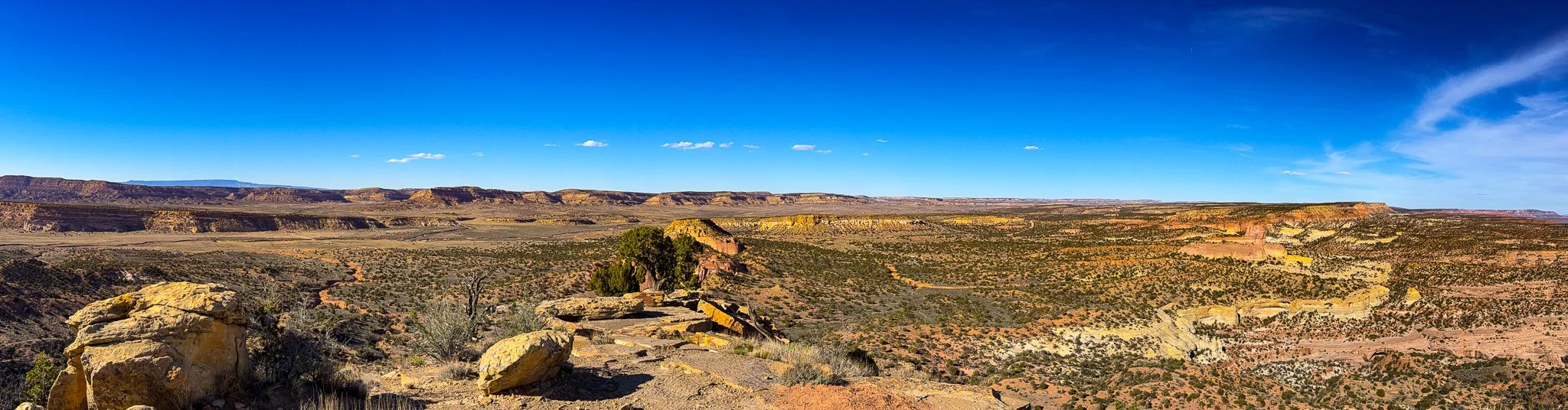
In Gallup, we hiked to the peak of Pyramid Rock. It was about 4 miles round trip and had some significant elevation gain. It was a challenging, but enjoyable hike. And the views all around us made it all that much better.
Click on Image for Map.
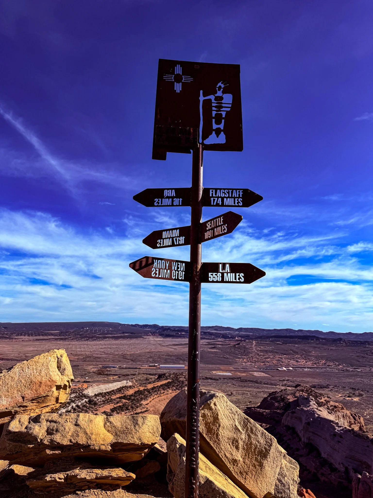
Upon reaching the peak.
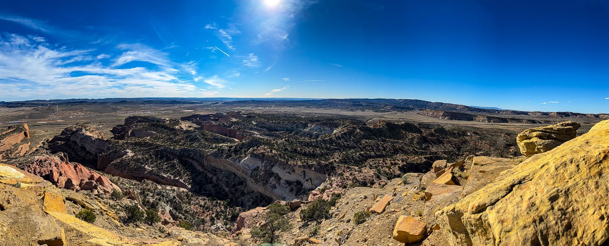
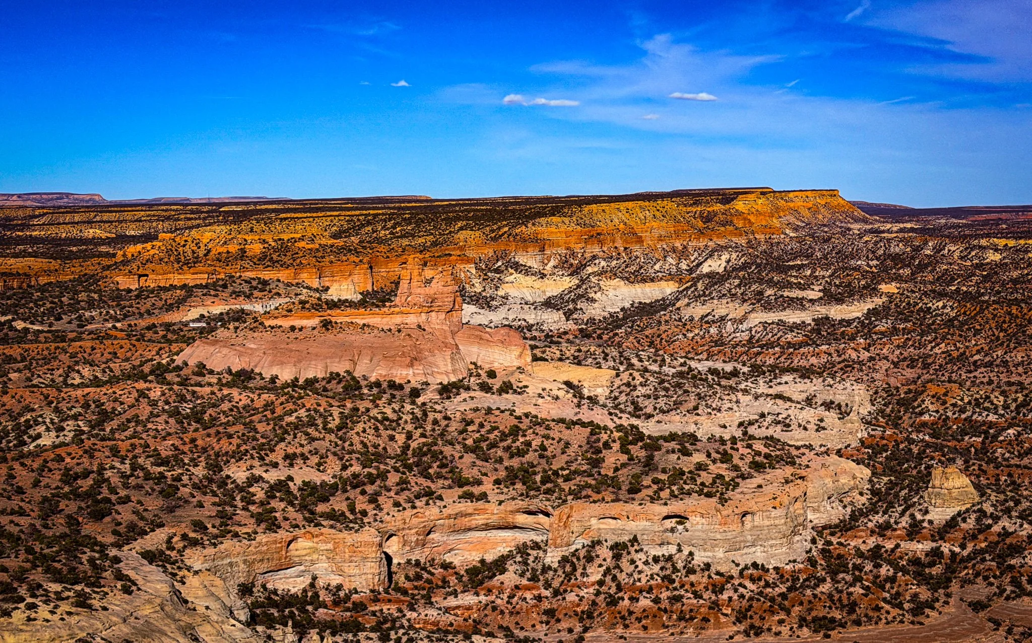
A couple of panoramic views from the top, before we start heading back down.

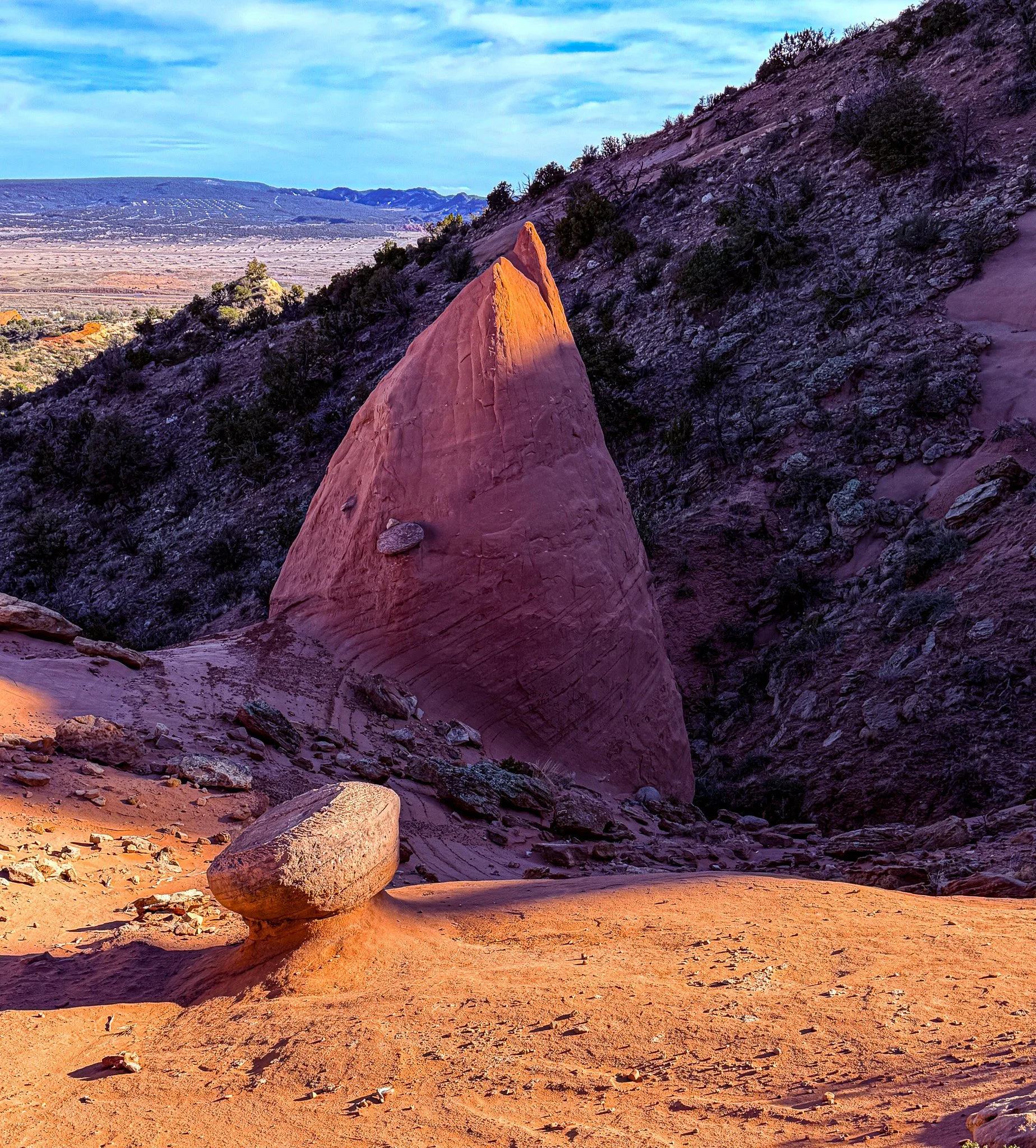
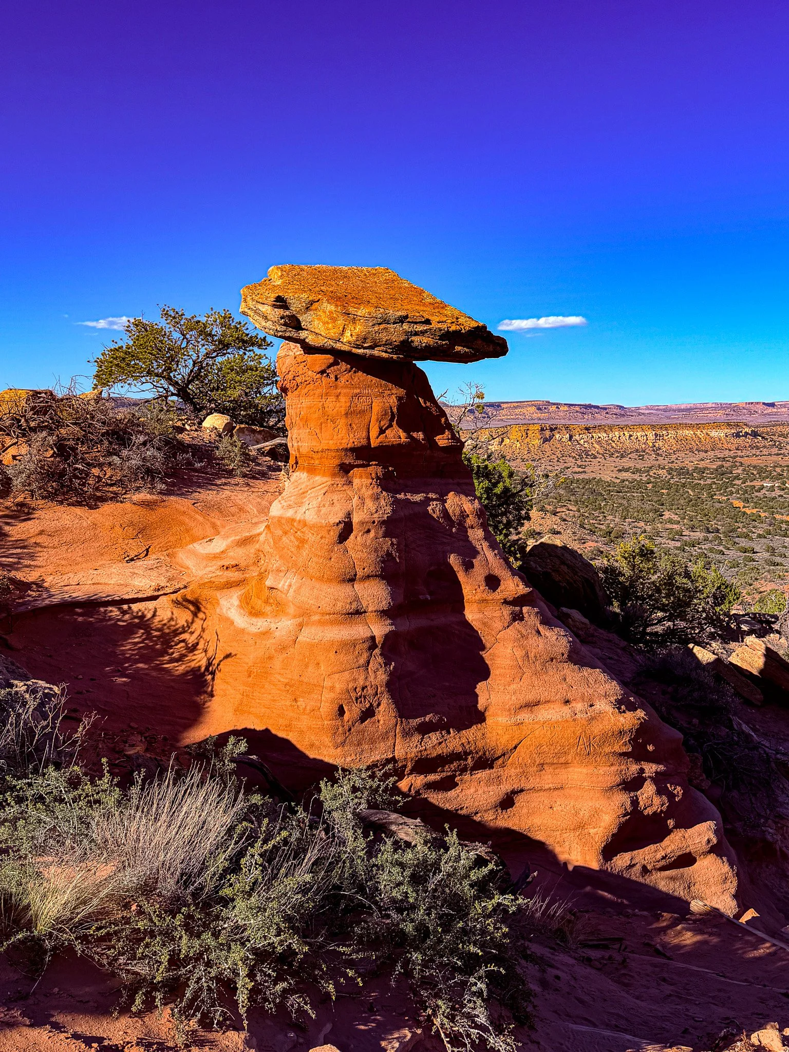
It begs the question… why has it not just slid to the ground?
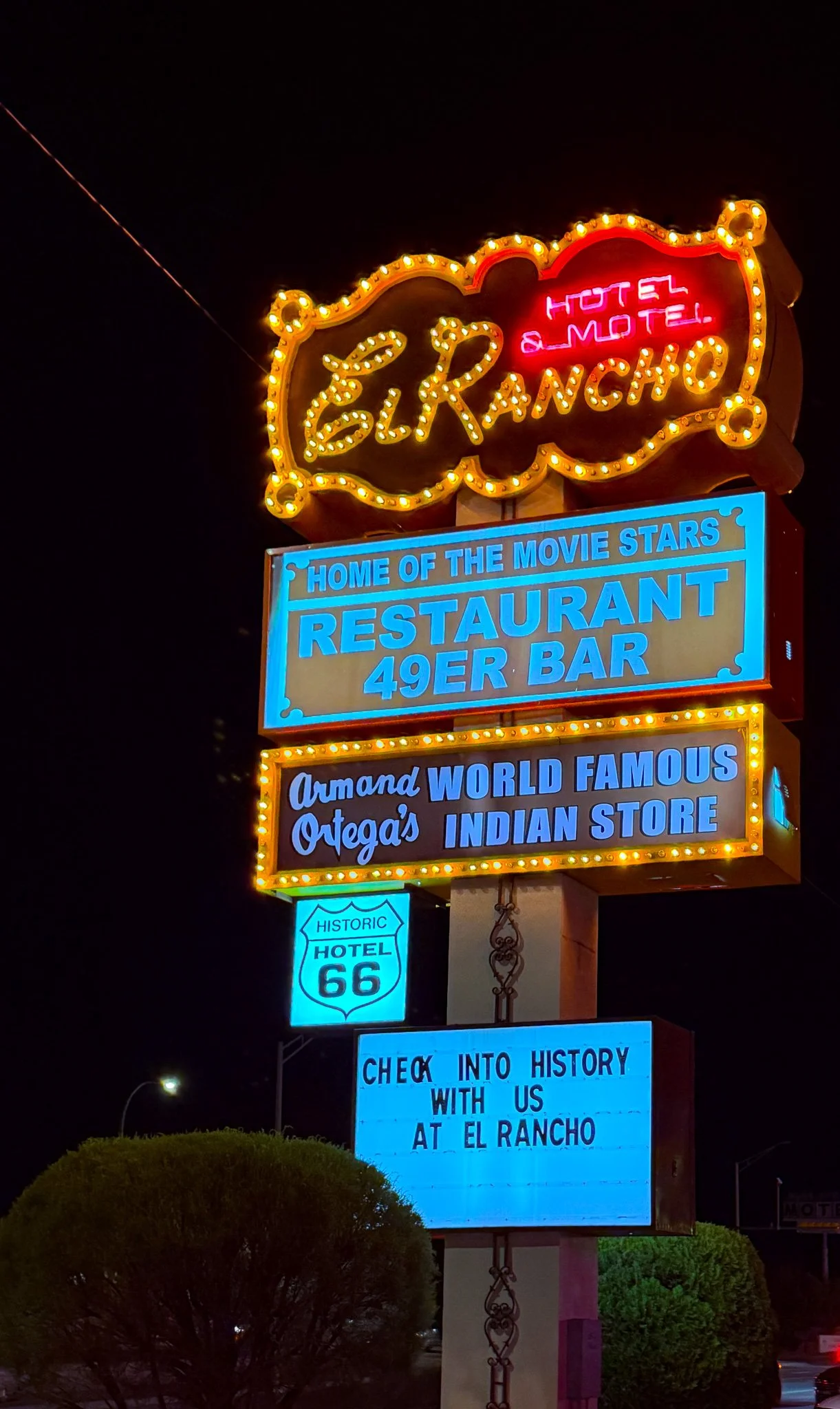
Although we didn’t stay here, it was worth stopping by to see the neon and check out the lobby.
Click on Image for Map.
From ChatGPT:
The El Rancho Hotel is a historic Route 66 landmark built in 1936 by R.E. “Griff” Griffith, brother of filmmaker D.W. Griffith. Designed in a rustic Southwestern style, it became a hub for Hollywood productions, hosting stars like John Wayne and Humphrey Bogart. Restored in the 1980s and listed on the National Register of Historic Places, it remains a classic stop for travelers.
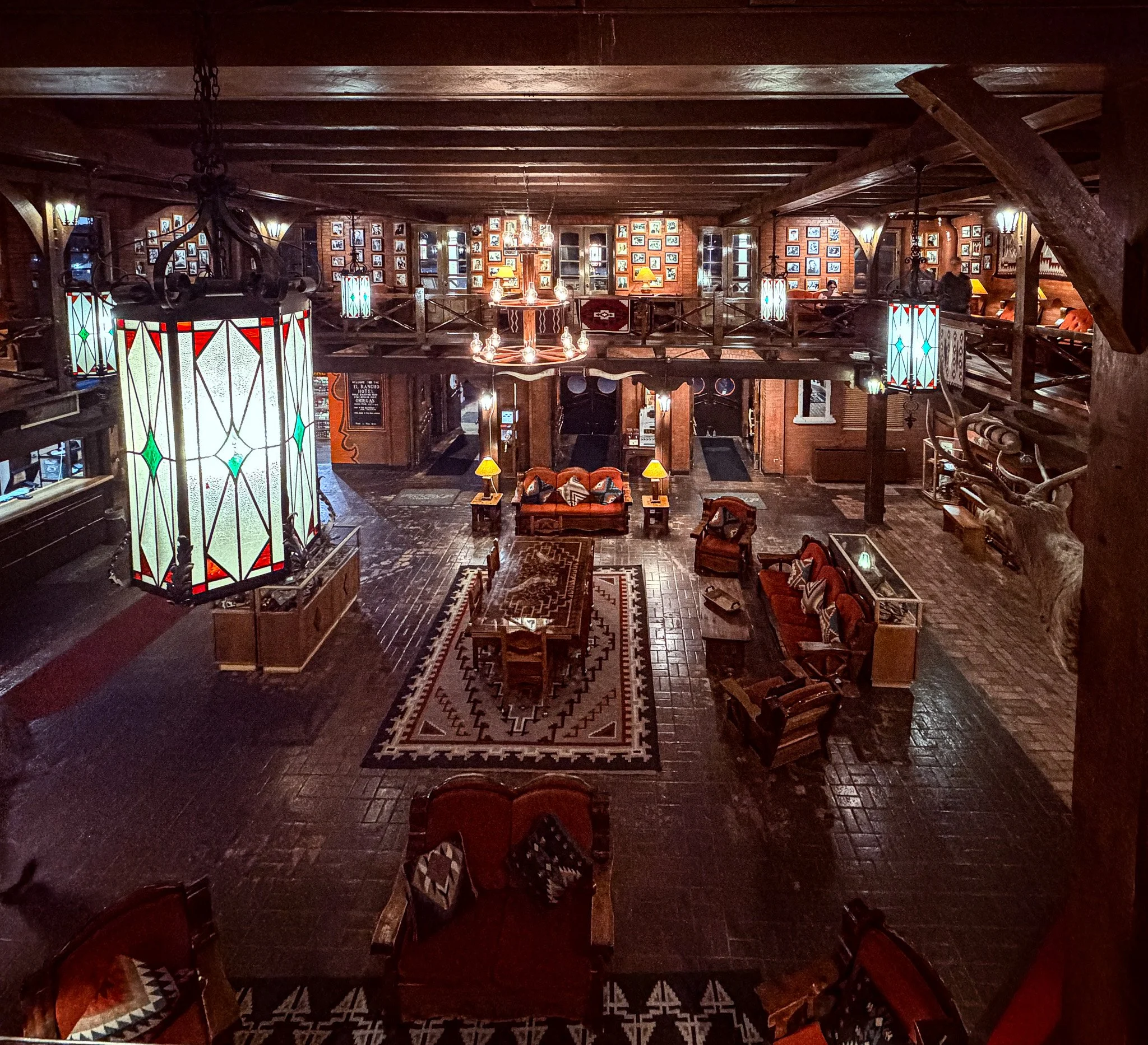
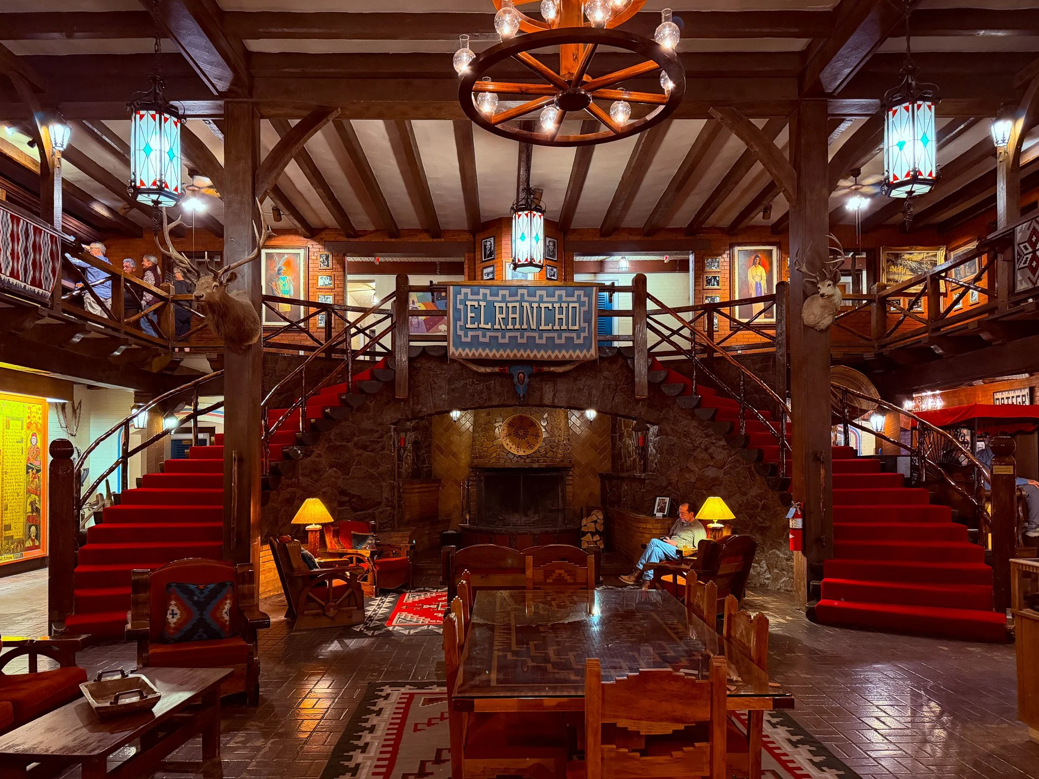
They have an attached restaurant which is open to the public, and they are fine with visitors entering the public spaces to look around. The is the main entrance from the second floor.
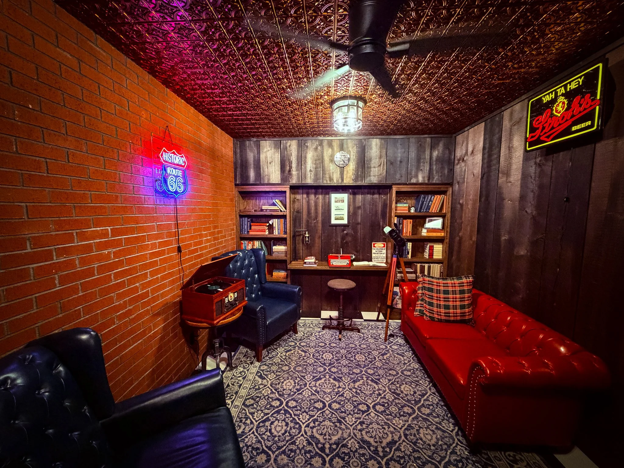
We even got to visit the “secret room” hidden behind a bookshelf. If you pull one certain book off the bookshelf, it opens the door to this secret room. I would really like a room like this in my house. A quiet place to hide out and readl