Great River Road Trip, Day #11
Wednesday, May 14, 2025
Leaving Natchez, Mississippi this morning we jumped on the Natchez Trace Parkway for a little while. The parkway is beautiful in many respects. The scenery is fantastic, very rustic and undisturbed. Also, it is impeccably maintained with a smooth road surface. And, being a scenic parkway, it is not open to commercial traffic and the speed limit is 50 mph. It made for a very pleasant drive. Someday I think we will have to do all 444 miles of it.
We stopped at a place called Mount Locust which is explained on this plaque. The next series of photos are from that stop.
[Click on Image for Map]
From the plaque on site: “On December 12, 1862, Cairo was part of a mine clearing expedition on the Yazoo River. Her commander, hearing small arms fire coming from up ahead, steamed around the rest of the boats and into unexplored waters. Suddenly, explosions tore holes in the boat. It sank quickly in 36 feet of water. No lives were lost and the crew was recovered by nearby vessels.”
In the bottom center of the image are the pistons which, powered by steam produced in the boilers, were used to turn the paddlewheel. The metal structure of the paddlewheel is seen on the left.
The five steel drums on the bottom were the boilers and the one horizontal one on the top was the steam tube. The steam tube delivered the steam to the pistons to drive propulsion of the massive weight (approximately 512 tons) of the boat. When under full power it could reach speeds of 9 mph.
Looking up into the steel plated pilot house. From here the captain would steer the boat and instruct the boiler men as to how much power he wanted.
The three forward facing cannons in the bow of the boat. All the cannons on this boat were the original and were recovered from the bottom of the Yazoo River. Much of the original lumber used in the construction of the boat was recovered as well; however, this reproduction fills in the missing pieces with new lumber the way it would have looked at the time.
The side of the boat and the pilothouse were covered in these steel plates. The plates were then backstopped by 12-24 inch wood beams to provide increased strength against incoming ordinance.
The front of the boat used railroad steel for added protection.
We couldn’t help but notice the significant pitting/dents in the steel covering the pilothouse. Not sure if this was the result of denting from incoming projectiles or if it was just an effect of the weathering of the steel from sitting in the Yazoo river all those years.
An aft-facing cannon and in this image you can see some of the original wood that was recovrerd.
More of the original salvaged parts of the ship.
The intricate structural steel backbone of the paddlewheel. The actual paddles were likely made of wood so they could be quickly and easily replaced by the on-board carpenter.
Another look at the 5 boilers and one steam tube. When the boat was under full power it would consume 1 ton of coal per hour.
[Click on Image for Map]
At the time of the Battle of Vicksburg the Mississippi River would have laid directly below this bluff where the trees in the foreground are located. However, a flood in 1873 caused the river to change course and the water you see in this image is not the Mississippi. This waterway is a diversion channel of the Yazoo River.
[Click on Image for Map]
This is the Mississippi state monument.
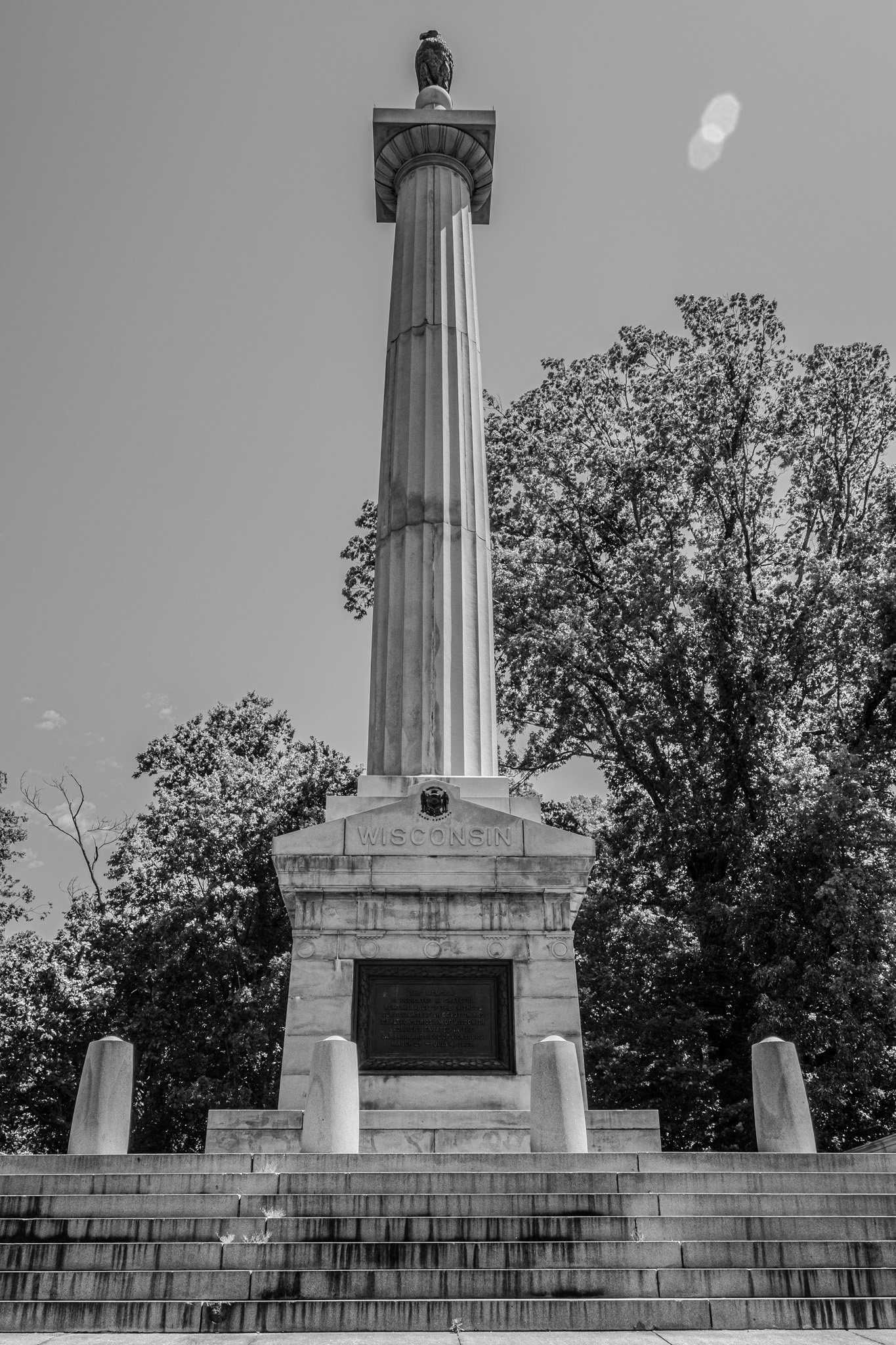
With the opening of Vicksburg National Military Park each of the states with soldiers in the Battle of Vicksburg were given the opportunity to install a monument. The Union states were quick to do so; however, the Confederate states were financially hurting following the war, and their economy was in shambles - so they were not as quick to build monuments. This Mississippi monument was the first of the Confederate state monuments to be built.
[Click on Image for Map]
Iowa monument.
Another view of the battlefields in order to appreciate the terrain, earthwork redoubts and trenches.
From plaque nearby: “After 47 days under siege, the battle could only end in surrender - or a dramatic rescue. Inside Vicksburg, General Pemberton faced harsh realities - one third of his troops were too sick to fight, their drinking water was contaminated, they were short of food and ammunition. Union troops and cannon completely surrounded him. Then came a final message from General Johnston saying his army in central Mississippi was too weak to relieve Vicksburg. Pemberton asked Grant for surrender terms. Grant did not want to have to feed 30,000 prisoners of war, or transport so many men north to prison camps. He offered to let Vicksburg’s defenders go home, if they promised that they would not fight against the United States again until exchanged. Pemberton accepted the terms. On July 4th, the Confederates handed over their guns. Union troops marched victoriously into the city.”


