Great River Road Trip, Day #15
Sunday, May 18,

Today was supposed to start with a visit to the Mississippi River Overlook Park in East St. Louis. However, driving up to the park we ran into a freight train that was stopped and blocking our path, with no telling when it planned to move. Plus, where we were at that point in East St. Louis was BEYOND sketchy!! Thus, we decided to abandon this attempt. I had hoped to post some photos of the Arch from the east side of the river, but this was not meant to be this trip. We couldn’t get OUT of sketchy-land fast enough!
So, our first stop was at the Confluence Tower which overlooks the site where the Missouri River joins the Mississippi River. However, this observation tower is closed for renovations with a plan to open in 2026 - as best we can tell. We knew this was the case before coming here, but decided to walk over to see it from where we parked at the Lewis & Clark State Historic Site.
[Click on Image for Map]

It does look like an interesting thing to see on another trip after renovations are completed.
[Click on Image for Map]

Going for our walk gave them time to open the Lewis & Clark Museum for the day. This was a fascinating stop. I must admit, I know very little about this part of our American history. However, I plan to remedy that deficit; I purchased the book they said was the best for first-timers to get acquainted with the expedition.
This is a mock-up of the keelboat they used to go up the Missouri River in 1804.
[Click on Image for Map]

The opposite side of the keelboat is a cut-away that shows how they carefully packed the boat to include all the provisions, supplies, medications, food, weapons, scientific research equipment, etc…. This packing job is even more impressive than my packing of a Civic Type-R to do the Great River Road.

I was particularly impressed by just how narrow the keelboat was. They would use poles to move up river in shallow water, oars when the water was deeper and when the wind was in their favor they used sail. When the river was very shallow, the men would jump off and pull the boat forward with ropes.

Although this museum discusses the entire expedition, it really focuses on the portion of the journey in Illinois. So, the majority of the museum is dedicated to the roughly six months the expedition wintered here at Camp River Dubois (on the Illinois side of the Mississippi at the confluence) before heading up the Missouri River in May, 1804.

The museum was excellent, even for a novice like myself. However, I do anticipate I will return here - after I have done my homework and read at least one book on the expedition. Then, I suspect it will mean even more to me.

Our next stop was at the Melvin Price Lock & Dam in Alton, Illinois. This lock & dam replaced the original lock & dam #26 which was located approximately two miles up river from this position. The original lock & dam #26 was demolished in 1990, after this one was opened on October 10, 1989.
They offer tours at this lock & dam, which also houses the National Great Rivers Museum. Unfortunately, the next tour was not until 1 PM today and we were there at 11 AM. Staying for the tour, which lasted roughly one hour, was not going to be possible on our schedule for the day. But, this dam tour and a future visit to the Confluence Tower and Lewis & Clark Museum will be added to a future trip.
[Click on Image for Map]

We headed further north to the town of Alton and walked their river walk and downtown. This tug and 15 barges were headed north under the U.S. Highway 67 bridge. They had just finished locking at the Melvin Price Lock & Dam.
[Click on Image for Map]

Alton now has a park where the old City Hall once stood and this was the site of the final debate between Douglas and Lincoln which took place on October 15, 1858.
[Click on Image for Map]

Douglas argued in favor of each state having the right to decide for itself regarding slavery. While Lincoln believed, “A house divided against itself cannot stand. I believe this government cannot endure, permanently half slave and half free.”
[Click on Image for Map]

In the continued spirit of democracy, the people of Alton were having an anti-Trump rally on this very same site today.
[Click on Image for Map]

Alton grain elevator.
[Click on Image for Map]

The Argosy river boat casino in Alton, Illinois. We passed by on the way back to the car, but did not feel compelled to stop in to make a donation.
[Click on Image for Map]

Just north of town we stopped at Piasa Park. This bird/dragon is part of “The Legend of the Piasa.”
It is really starting to fade, so it is somewhat difficult to see.
[Click on Image for Map]

A little closer up, maybe you can see it better.

When I can (when they are legible), I am going to simply insert photos of these plaques - saves me typing all this stuff.

The limestone bluffs here are eroded into caves. They have put up fences now to keep people out because they are apparently unstable and falling in.

The Great River Road is just fantastic in this region. On the bluff side you see these wonderful limestone walls and even a park placed into this little alcove.
[Click on Image for Map]

And on the other side, the road travels right along the river. This is so different from what we saw below St. Louis; where for so much of the time the road can be miles away from the river and separated by a levee when it is close by.
In my mind, THIS is what the Great River Road is all about!
[Click on Image for Map]

Just one more view, looking up river this time, to show just how the road hugs the east bank of the river.
[Click on Image for Map]

Many sources have told us that we had to stop at the town of Elsah. It is a quaint little town just north of Alton which gives you the impression that time just ceased to exist here.
[Click on Image for Map]

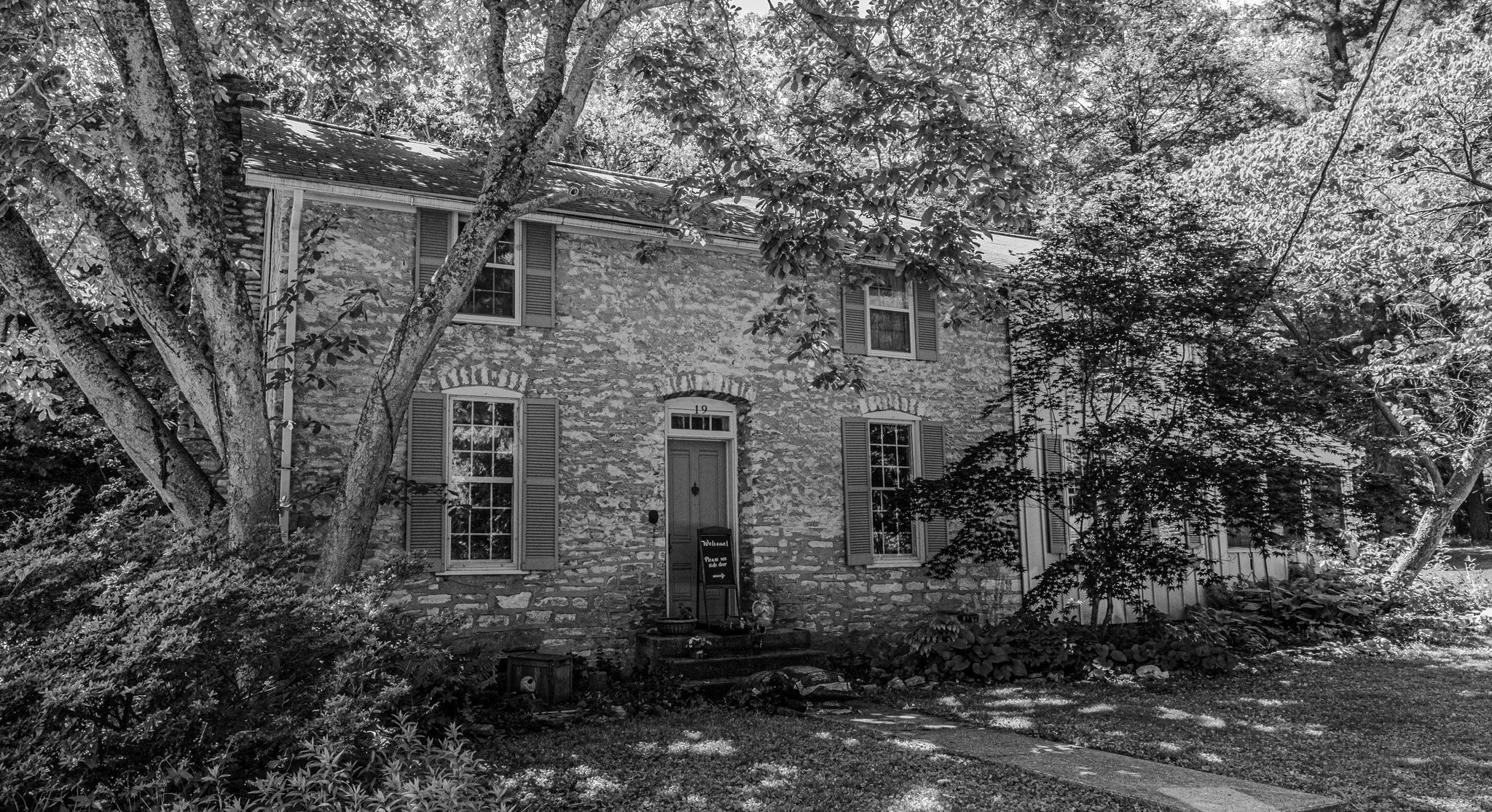
In 1854 Col. James Semple surveyed this land. He reportedly owned the local stone quarry and offered anyone a plot of land in his proposed town if they agreed to build a house made of stone from his quarry. Thus, as we walked the town today we noticed many of the homes were made of the same type of stone.
[Click on Image for Map]

The entire town is basically just a few streets and we parked and walked around them.
[Click on Image for Map]

Elsah looks like something from a Normal Rockwell painting.
[Click on Image for Map]

This home even had a small orchard on an adjacent lot with a few bee hives. From the street we could see the bees were enjoying this sunny mid-70’s day - zipping in and out of the boxes.
[Click on Image for Map]
Lisa loved this little town so much, she wanted a photo of practically every building.
[Click on Image for Map]

One of the few not made of stone. We assume this one was probably more recently built than the 1850’s. Had to show the well tended garden and side of the house in order to omit the monster pickup truck parked in the driveway.
[Click on Image for Map]

Our next stop was the town of Grafton. It was a thriving river town with a Main Street that had eateries, shops and access to the river. This is the Port of Grafton lighthouse.
[Click on Image for Map]

Why a photo of some random boat on the river? Well, for us, this was a sign of our return to “civilization!” Today we started noticing the appearance of pleasure crafts again. Since passing north of St. Louis we see jet skis, recreational boats, fishing boats, etc…. There are still plenty of tugs and barges to be seen, but the Mississippi is no longer all business up this far; people have returned to the river for enjoyment.
[Click on Image for Map]

Our final stop for the night was in Quincy, Illinois. This is a view of the Quincy Bayview Bridge at sunset taken from Clat Adams Bicentennial Park. We would have strolled longer, but the bugs had it out for us!
[Click on Image for Map]

This was a lovely place to stroll, but as the sun set the bugs took over.
[Click on Image for Map]