Route 66 - Day #17
Monday, April 27, 2026
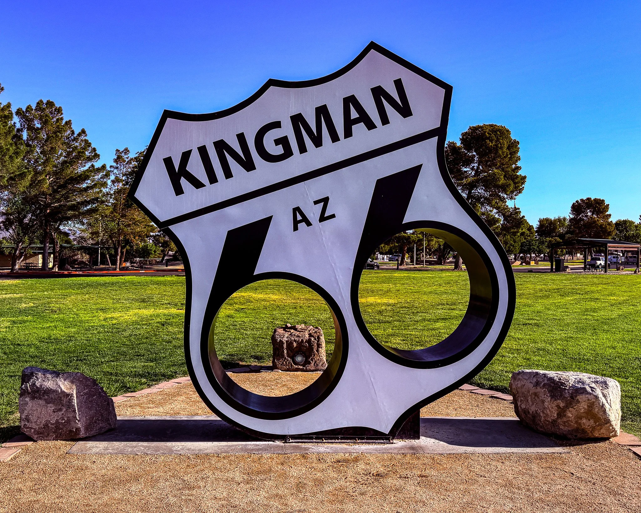
We started today in Kingman, AZ.
Click on Image for Map.
Our first stop today was the Arizona Route 66 Museum. They did an excellent job telling the story of how Route 66 evolved from a wagon trail and railroad route into a true automobile highway. It became the road of the great westward migration during the Dust Bowl and the Great Depression, carrying families in search of new opportunities. After World War II, with renewed prosperity, Route 66 transformed again into the highway of family vacations and cross-country adventures. Eventually, much of it was bypassed and abandoned with the rise of the Interstate Highway System. And now, today, it is seeing a resurgence as people rediscover this old route and its significance in American history and culture.
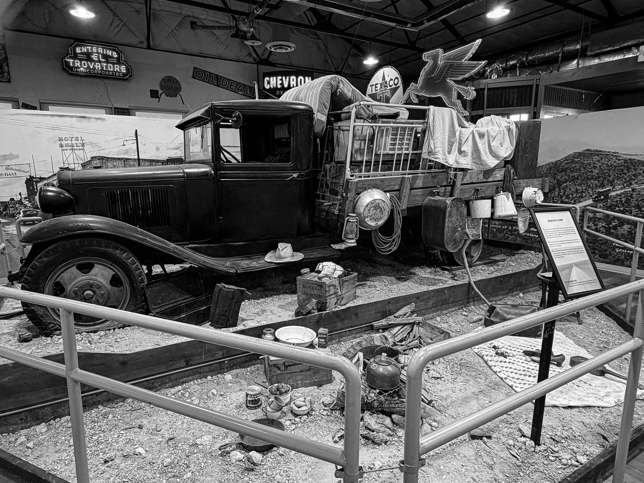
In this exhibit, they are showing the migrant camp experience endured by so many during the Dust Bowl and Great Depression.
Click on Image for Map.
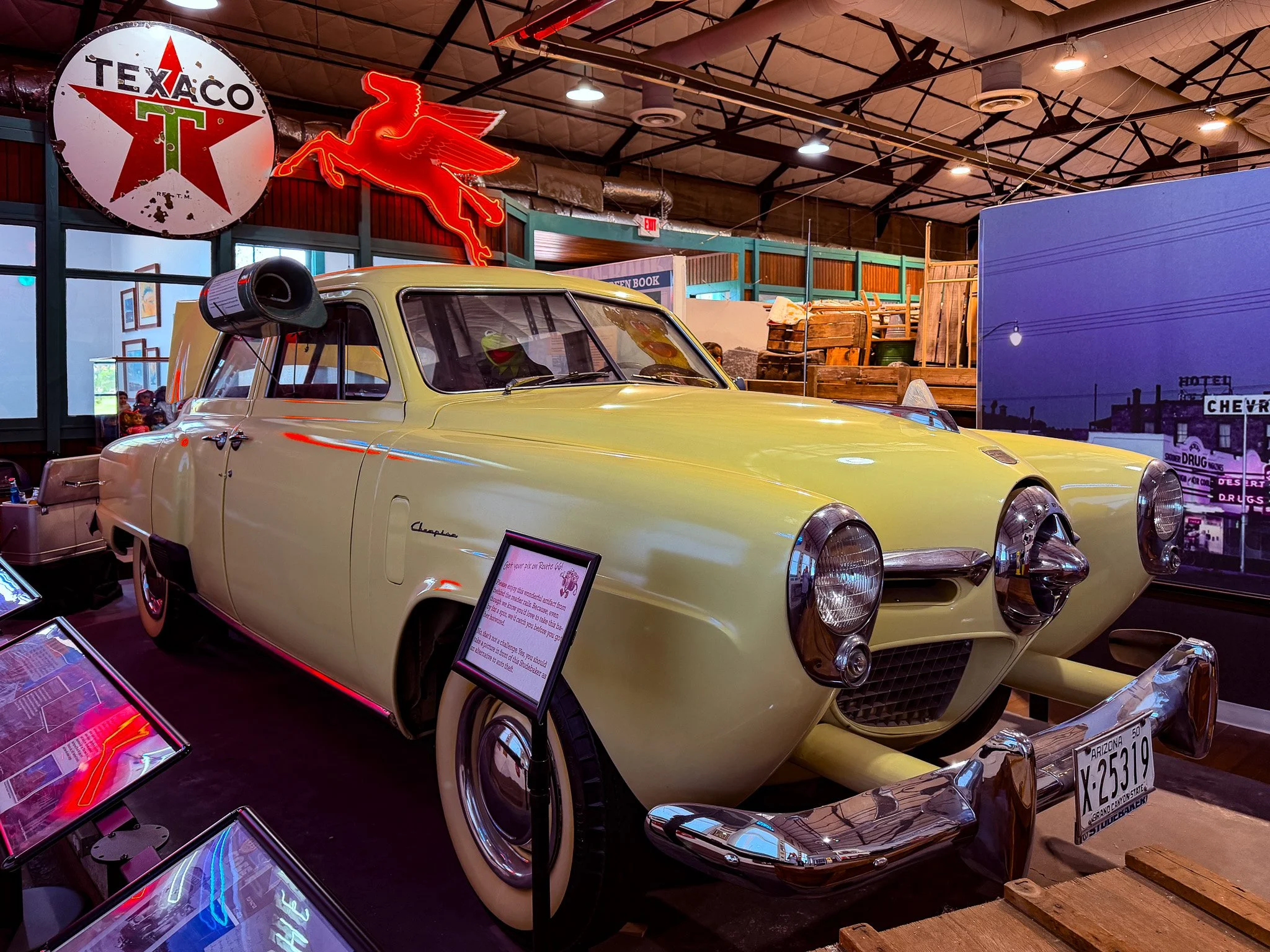
In contrast, this exhibit shows the subsequent generation enjoying Route 66 as they head west to California on vacation. Notice the early “air conditioner” in the window. This device was filled with water and then when the car went down the road it evaporated the cool water and blew some cooler air into the car.
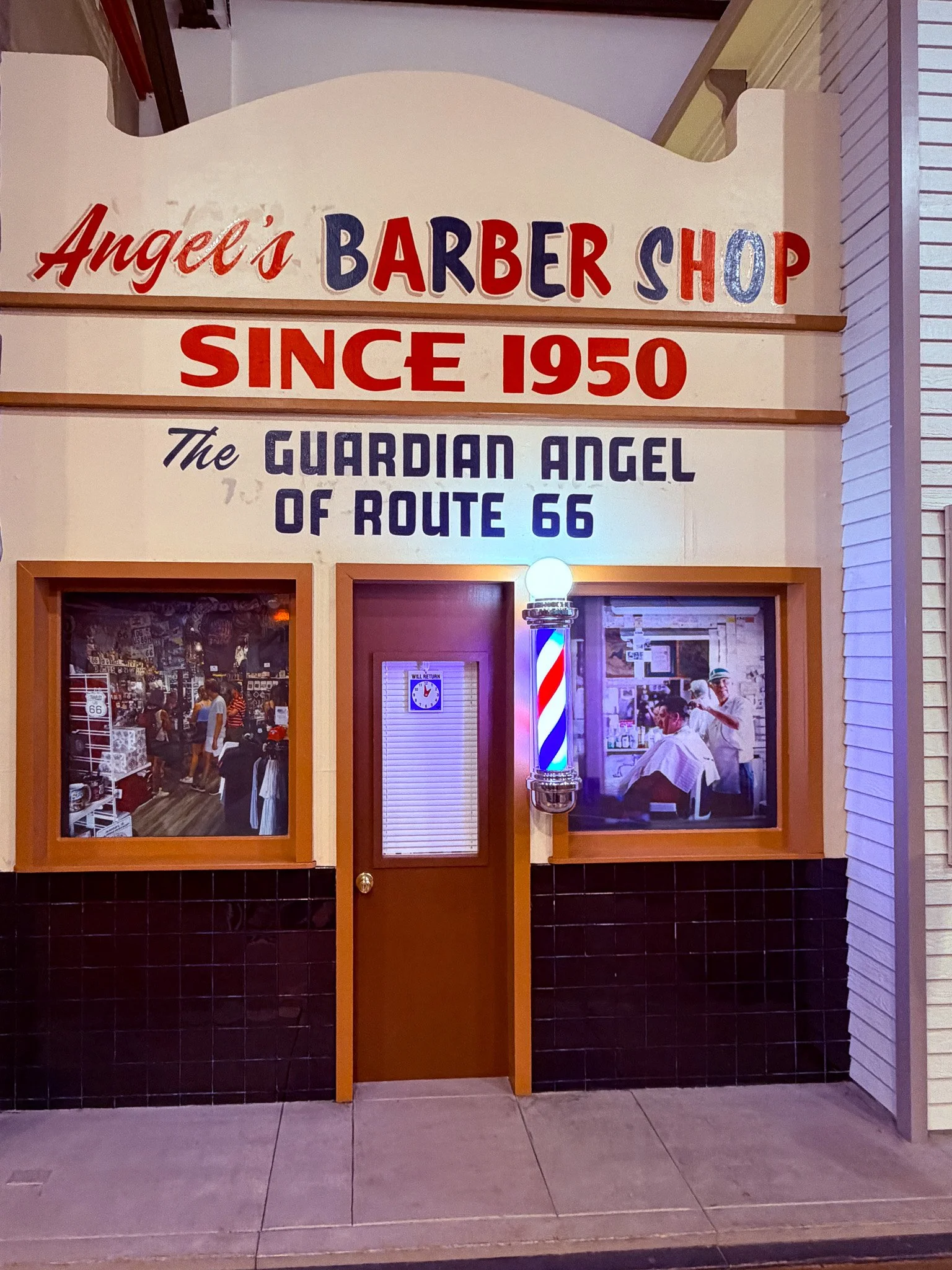
This exhibit is a nod to the resurgance of Route 66 as a historic route and a way for the current generation to regain some contact with the America of the past. They gave credit to Angel Delgadillo - who we discussed yesterday - for his pioneering efforts in getting the Historic Route 66 designation to preserve much of the route for future generations.
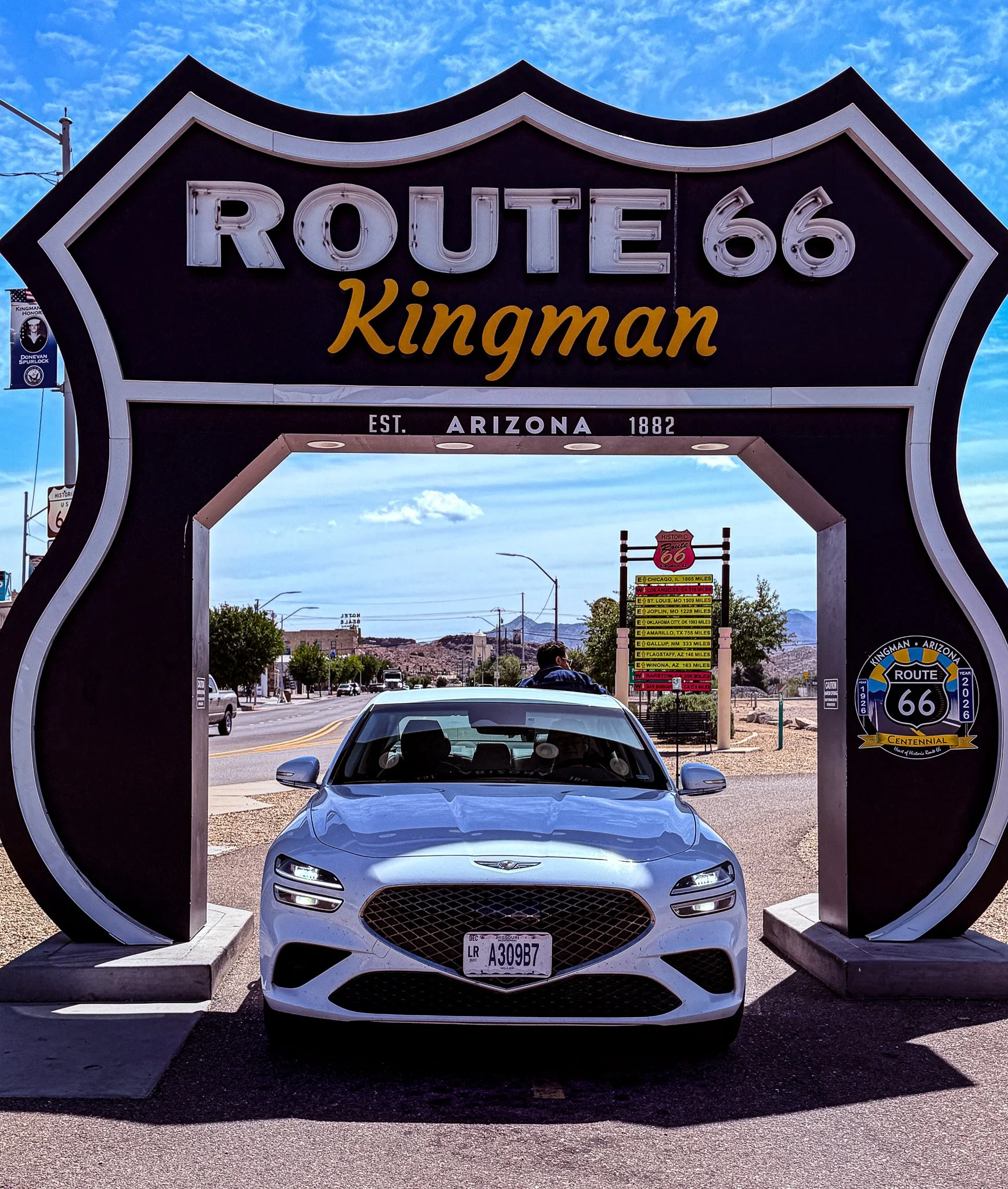
Kind of a funny story for this one. It looks like just another drive-thru Route 66 shield. But, just as we were going to drive through the shield an entire tour bus of Chinese tourists unloaded and they literally came running to photograph the car going through the shield. They were trying to jump on the hood to get their photos taken. It was like some kind of mob attack!! Lisa finally had to shoo them away so we could get the photo and then drive off. There is still one leaning against the back of the car doing some kind of dance as he recorded himself on his phone. You CAN NOT make this stuff up!!
Clikc on Image for Map.
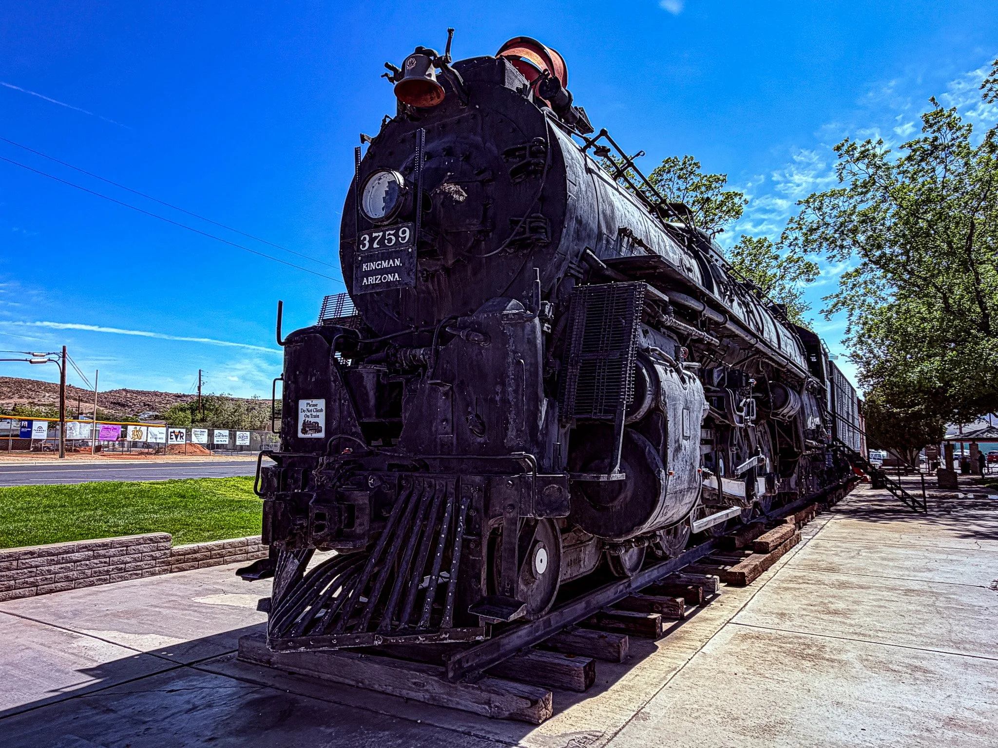
Locomotive Park in Kingman. One of the locals was sharing with us how much work they have put into this park. They said the train had been there since they were in high school 40 years ago, but it was just on a patch of dirt. She explained that they came in and lifted the train - hard to imagine how they managed that - and poured the concrete and put down the track and built up the infrastructure. An interesting story anyway.
Click on Image for Map.
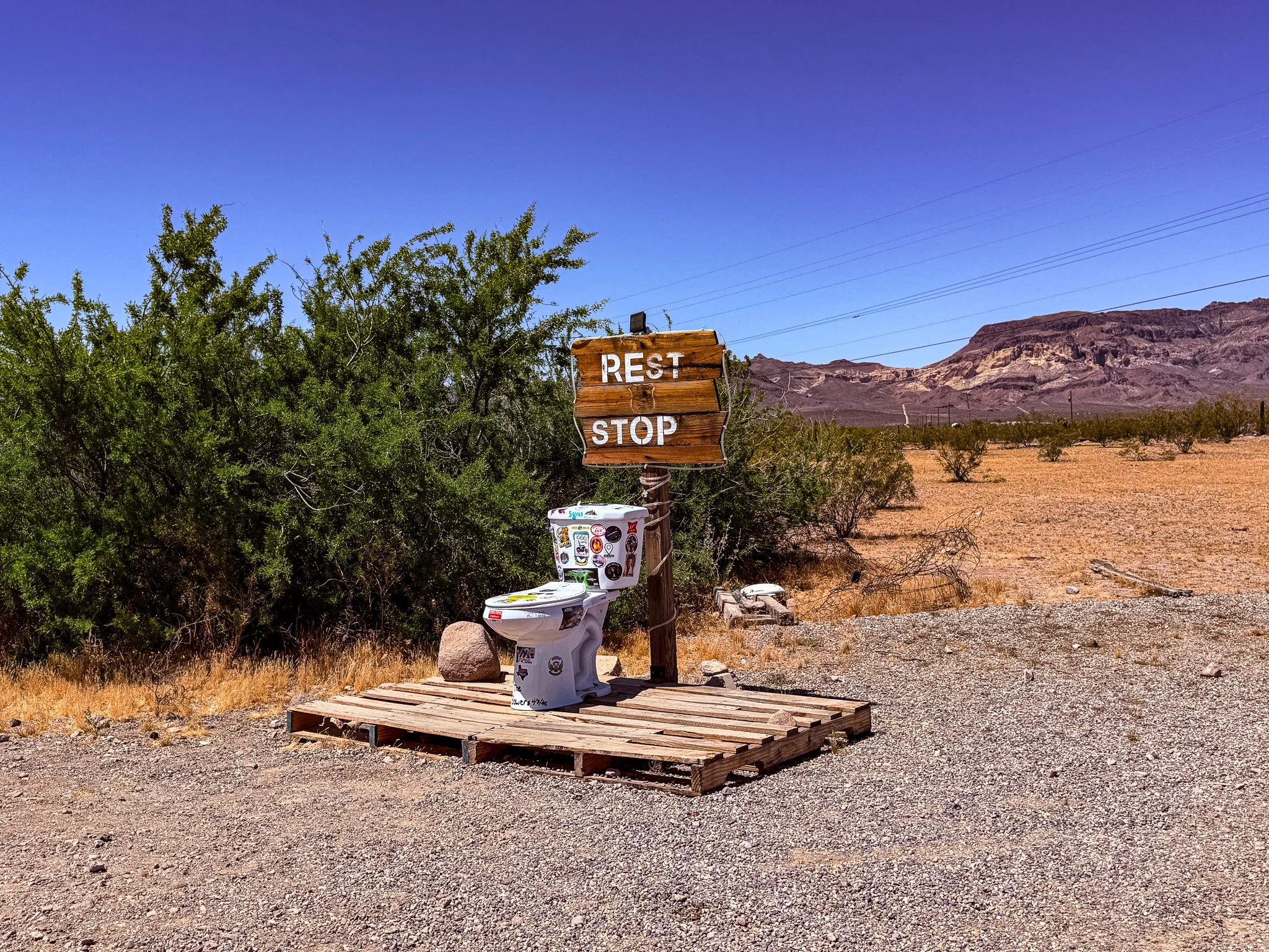
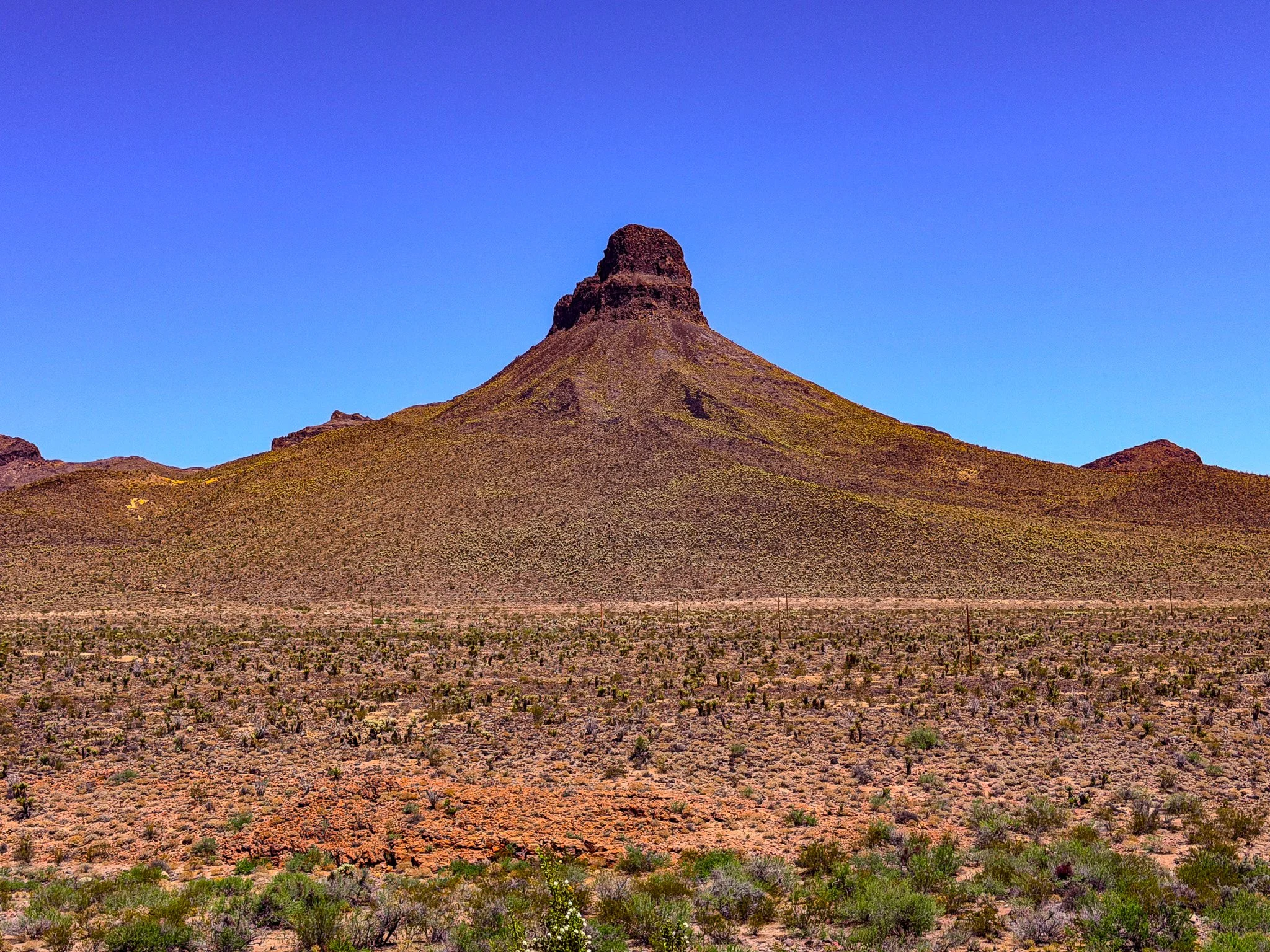
Not long after leaving Kingman, we were in the desert with nothing but sand, brush and distant mountains for MILES. However, they did have a rest stop! Lisa will never pass up a rest stop, but for some reason, she didn’t want to stop at this one.
Click on Image for Map.
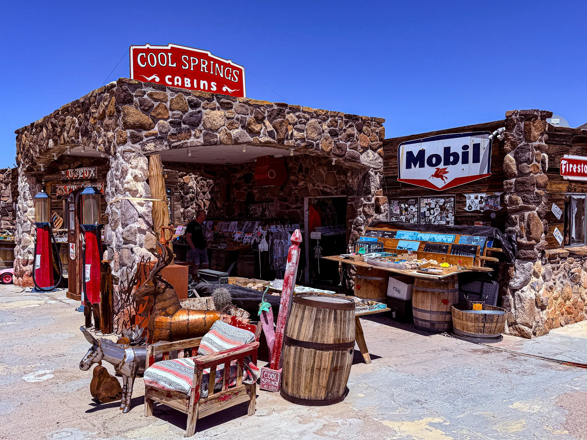
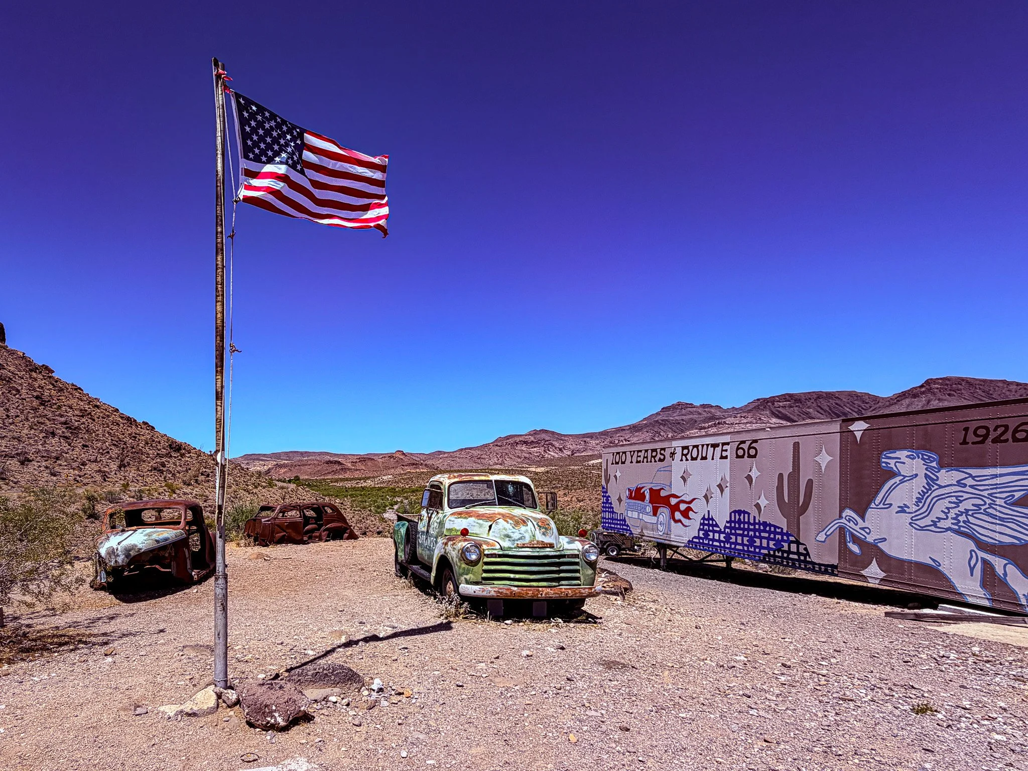
In the middle of the desert, on the way to Oatman, we came upon Cool Springs.
From ChatGPT:
Built in the mid-1920s, Cool Springs was a vital stop along the rugged Route 66 climb between Kingman and Oatman. Travelers fueled up, grabbed cold drinks, and sometimes stayed in one of its cabins before tackling Sitgreaves Pass. After Route 66 was bypassed, the station declined, burned in 1966, and sat in ruins until it was carefully rebuilt in 2004, restoring its classic stone façade and vintage charm.
Click on Image for Map.
The view from behind the Cool Springs building.
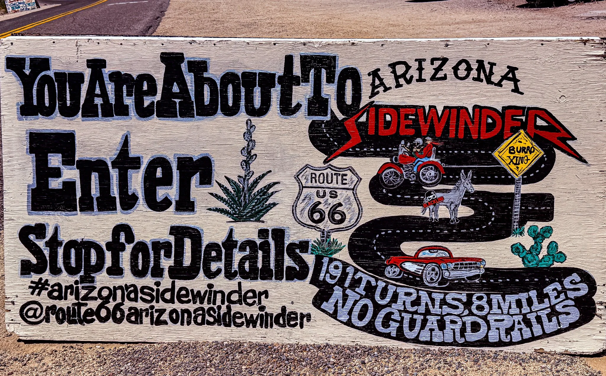
This sign at Cool Springs warns of the upcoming route as it traverses Sitgreaves Pass.
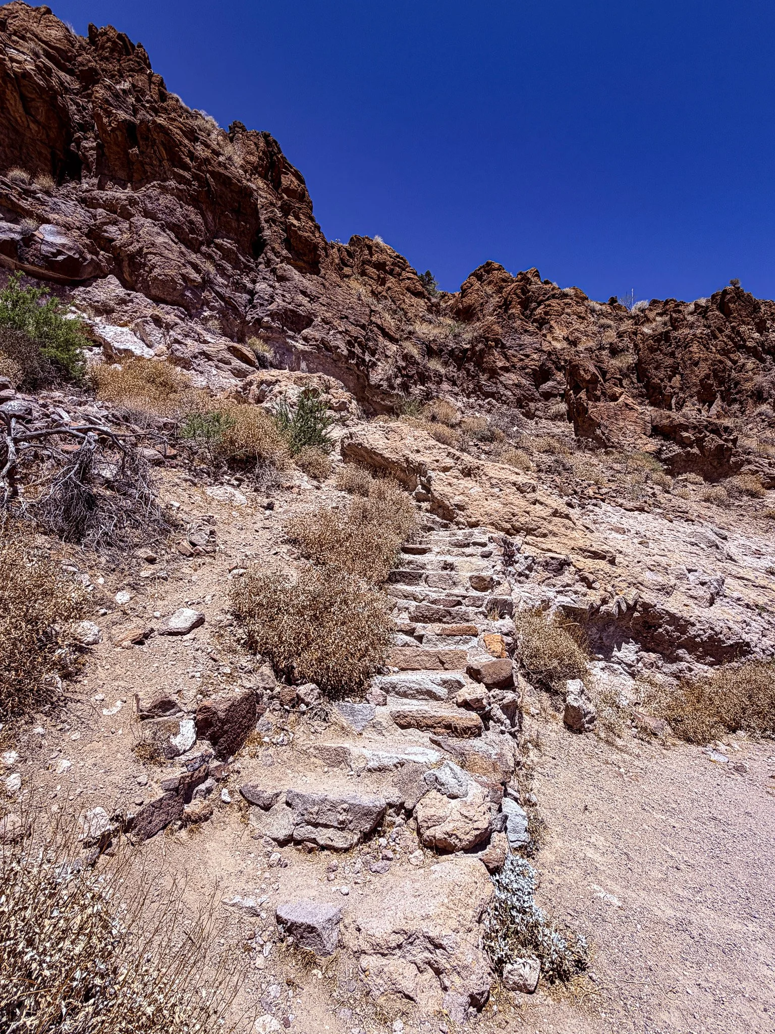
We stopped beside the road to walk up these steps on the side of the mountain to visit shaffer spring.
From ChatGPT:
Shaffer Spring, often called the “Fish Bowl,” is a small natural seep along old Route 66 between Kingman and Oatman near Sitgreaves Pass. Built up in the 1930s, its stone basin was stocked with goldfish to keep the water clean. It became a welcome oasis for travelers, wild burros, and overheated cars crossing the steep Black Mountains.
Click on Image for Map.
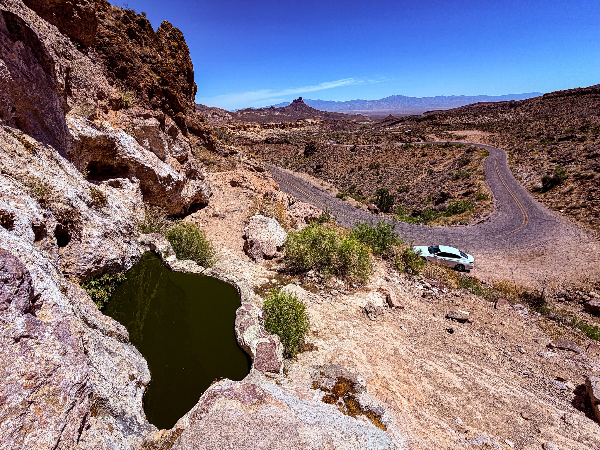
This is Shaffer Spring, and it did indeed have a few goldfish swimming around in it. But, I would not call it “clean” by any means and would really have to be dying of thirst to consider taking a drink. But, as you can see from the surroundings, if you were walking across this land, you might just be thirsty enough to stake a swig.
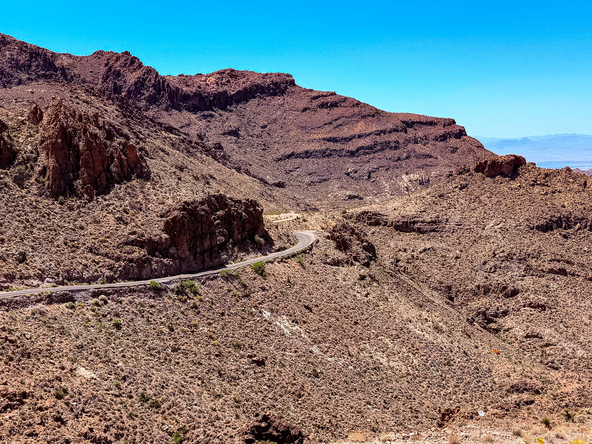
The fantastic views from the pull-off on Sitgreaves Pass.
Click on Image for Map.
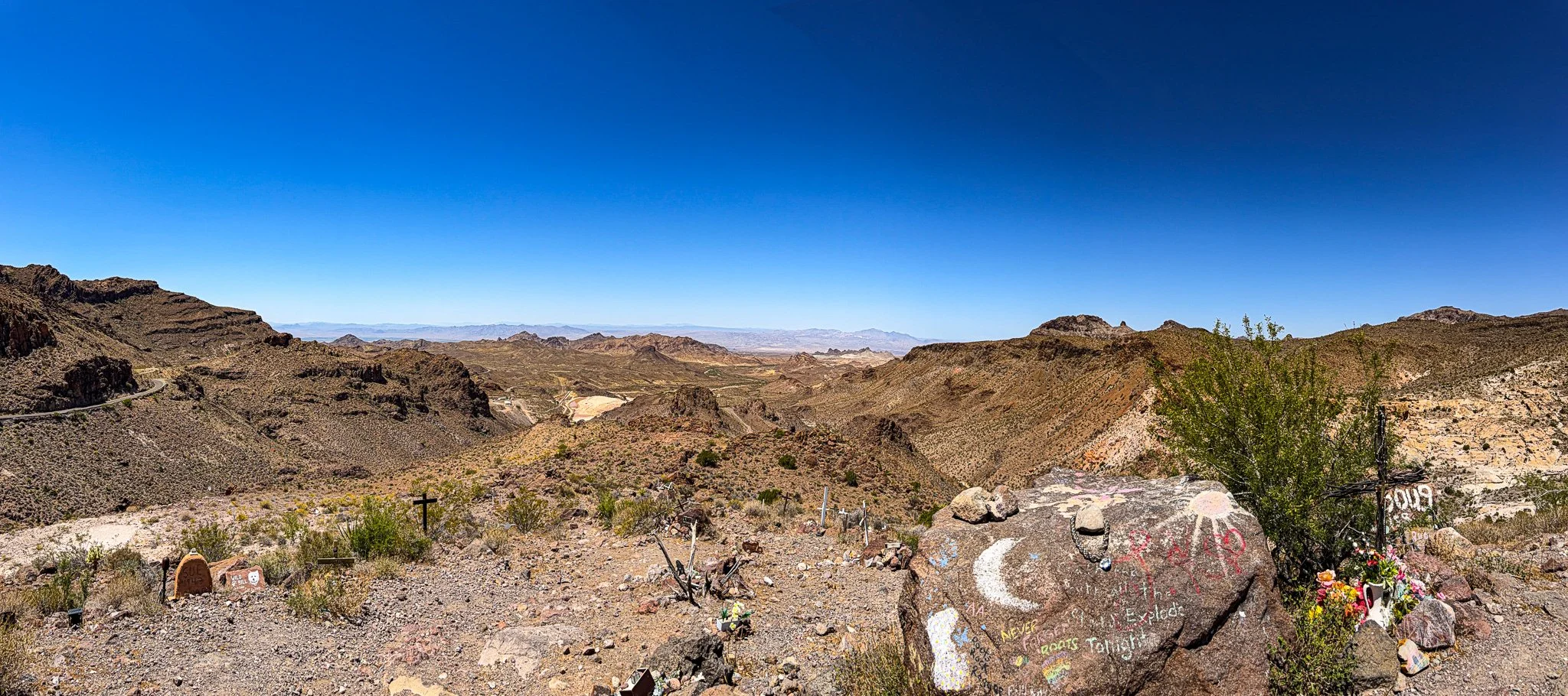
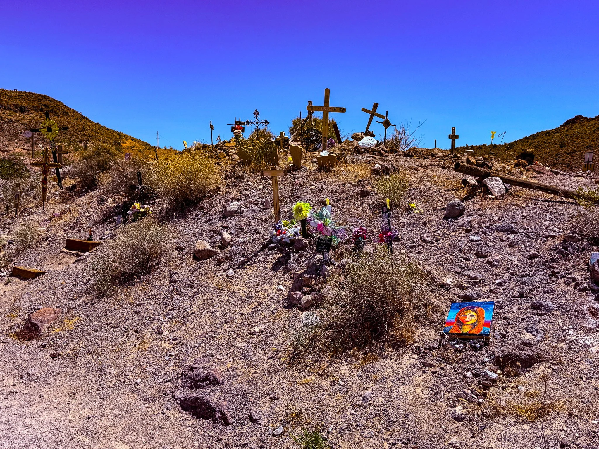
This pull-off along Sitgreaves Pass has become a spot where people have placed memorials to lost loved ones.
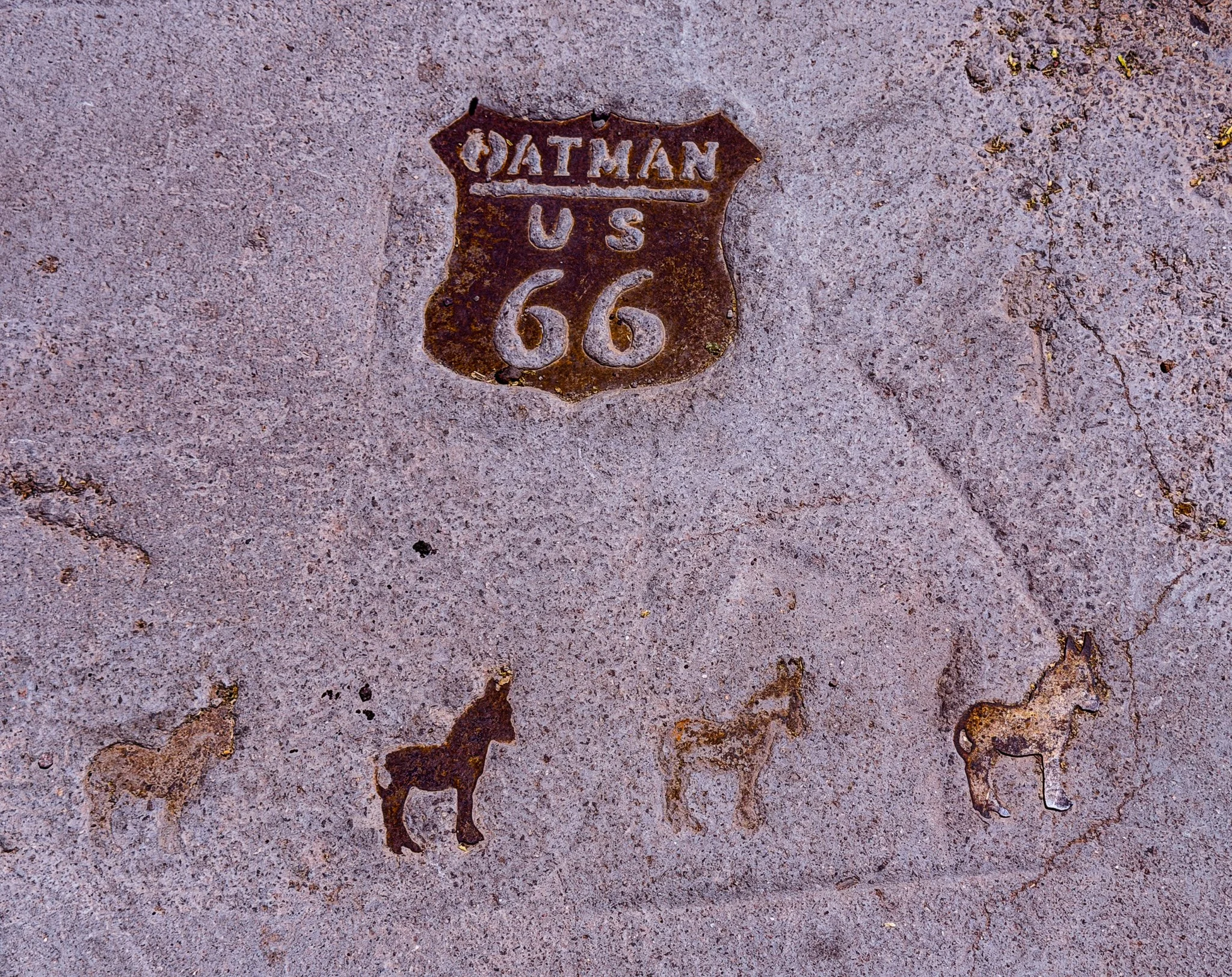
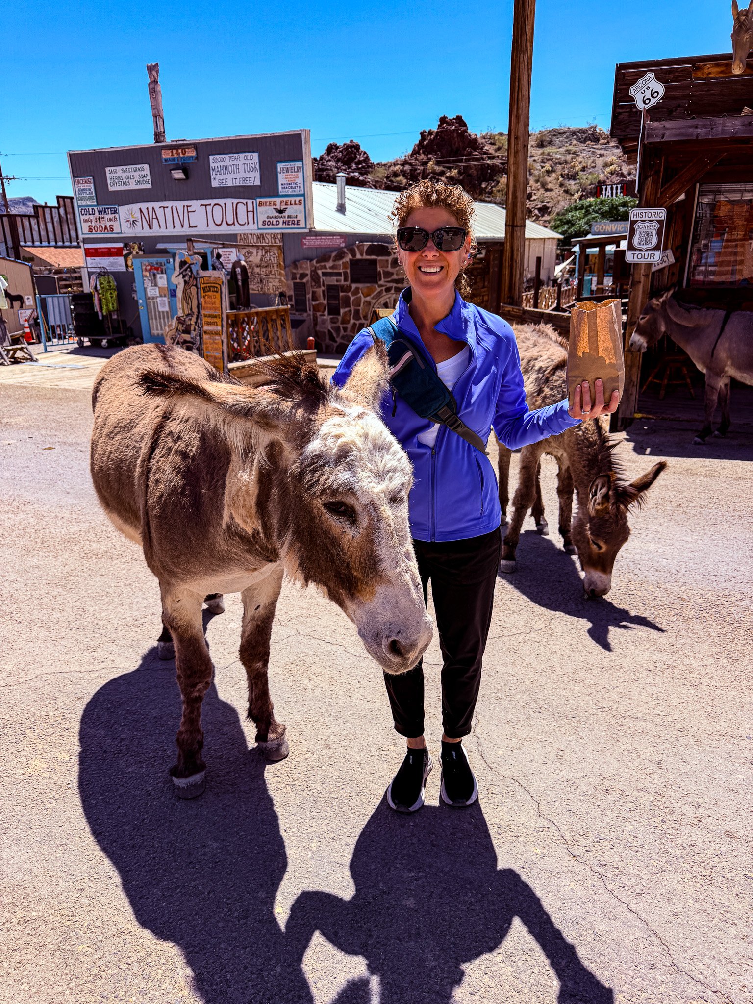
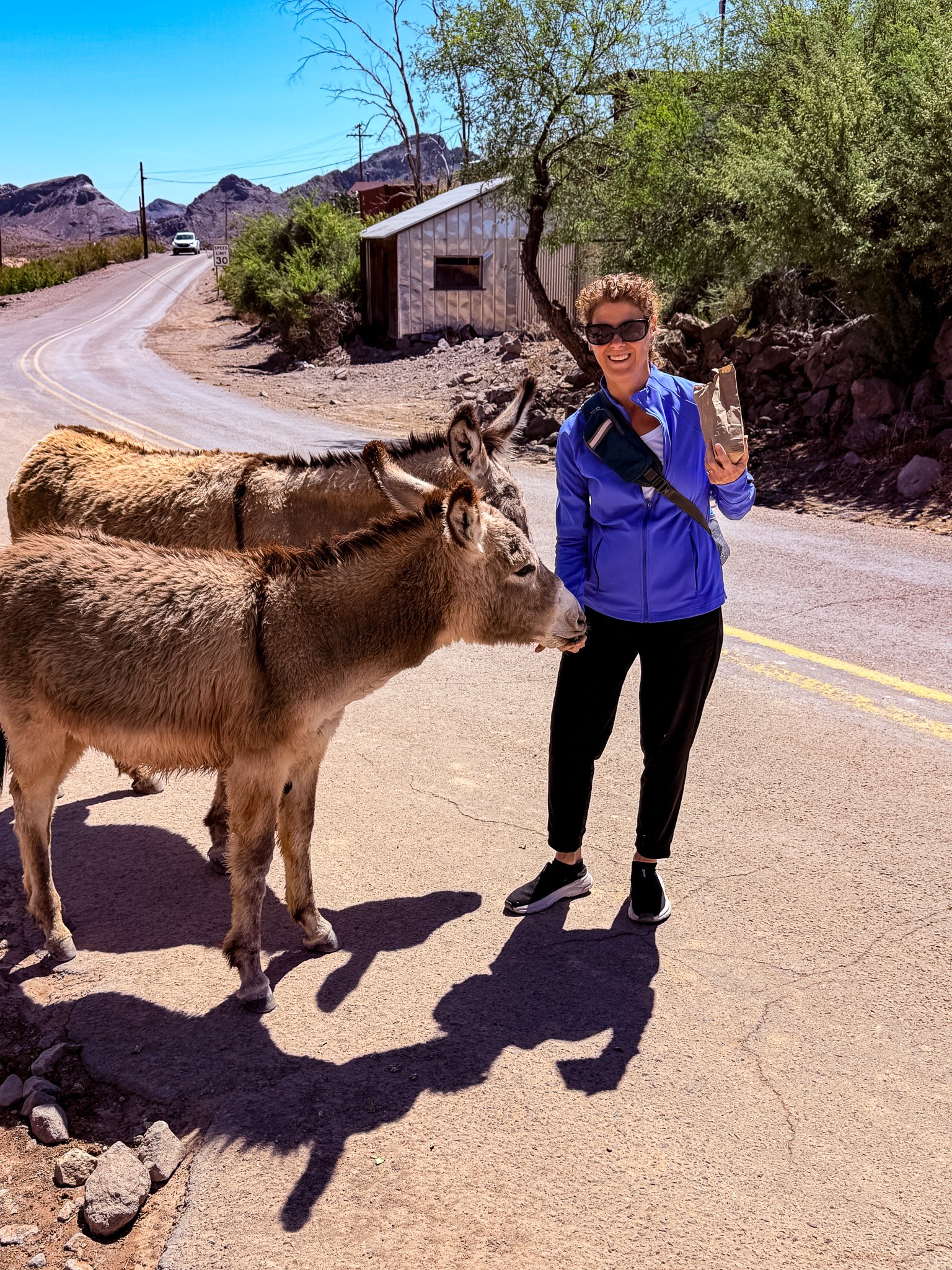
At long last, we have arrived in Oatman, AZ! Lisa has looked forward to this stop since we first watched a Route 66 video. She couldn’t wait to pet her ass in Oatman.
Click on Image for Map.
From ChatGPT:
The famous burros of Oatman, Arizona, are descendants of the pack animals used by gold miners in the late 1800s. When the mines closed, many were released into the desert and gradually wandered back into town. Today, they freely roam Oatman’s streets, greeting visitors, posing for photos, and eagerly accepting approved treats sold by local shops. They have become the town’s unofficial mascots and one of the most beloved attractions along Historic Route 66. Though friendly, they are still wild animals and are protected as part of Oatman’s unique desert heritage.
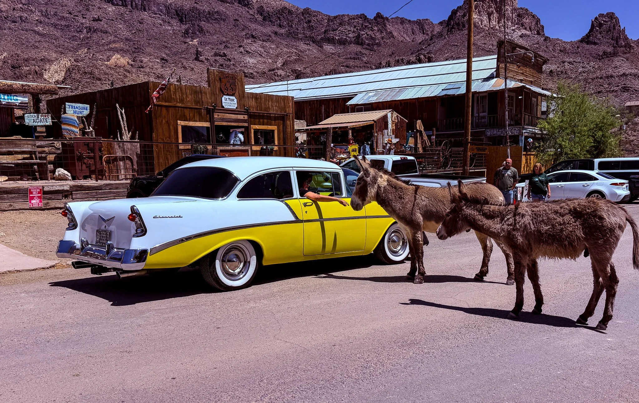
Route 66 goes directly through the main street of Oatman, and there is commonly a traffic jam due to burros blocking the way. People enjoy the drive-thru petting zoo.
The sign said, “Husband’s waiting room.” Apparently, this is where the husbands were supposed to wait while the wives shopped in all the stores that line the street. Looks like this guy has been waiting a while.
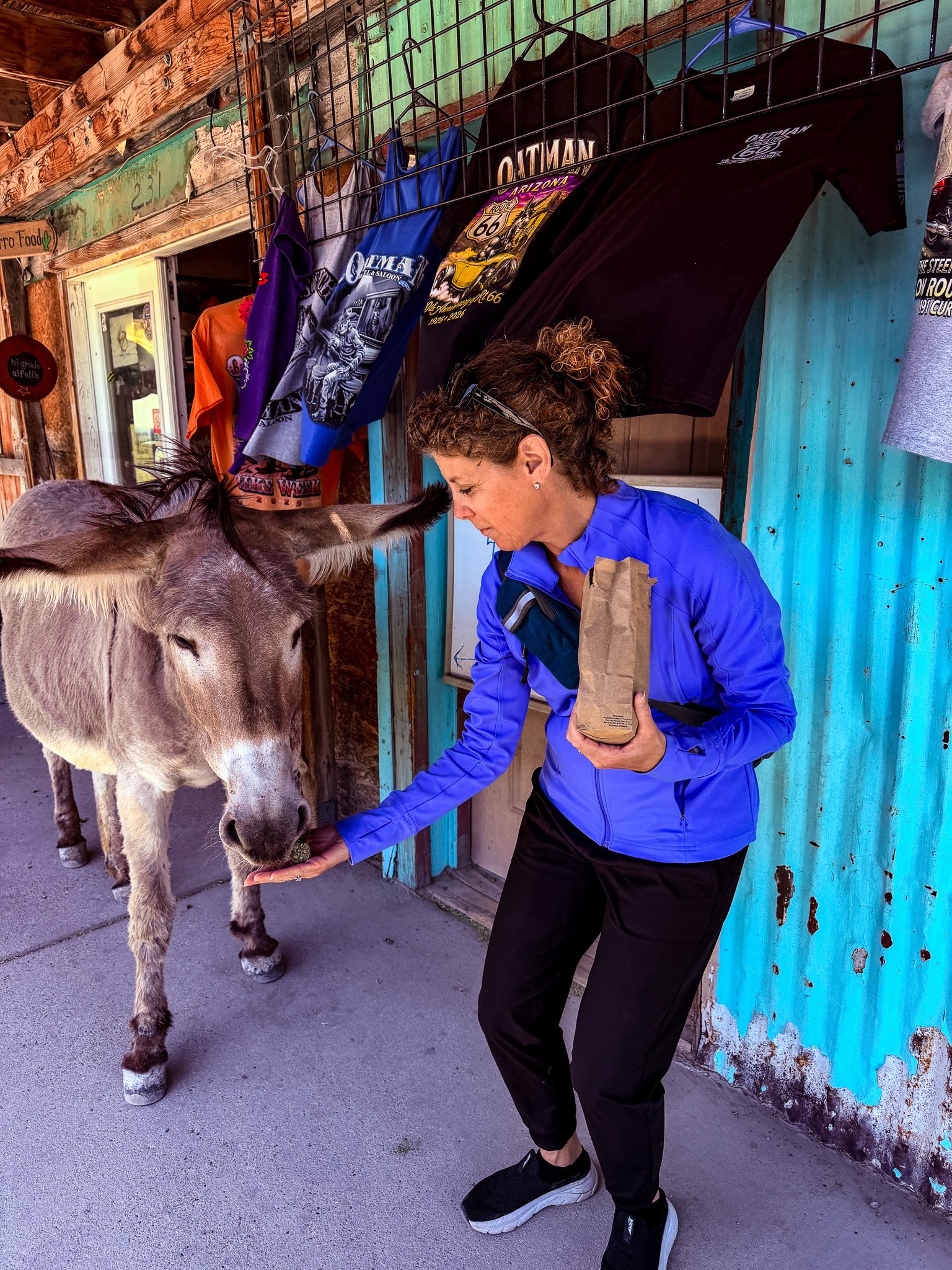
More of Lisa playing with her ass.
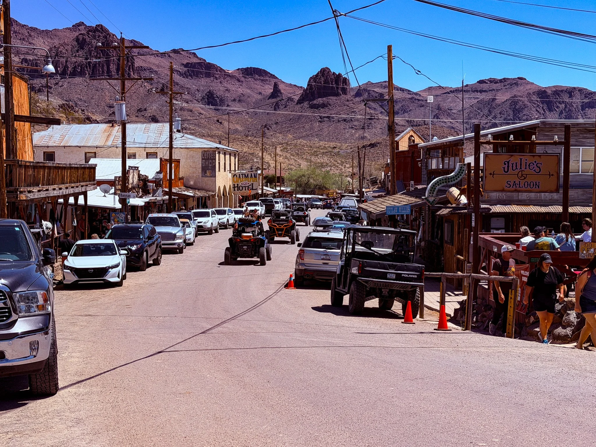
Today, tourism alone keeps the little town of Oatman alive.
From ChatGPT:
Oatman, Arizona, began as a mining camp after gold was discovered in the Black Mountains in the early 1900s. It boomed in 1915 when two prospectors struck a rich gold vein, leading to rapid growth with hotels, saloons, and thousands of residents. By the 1920s, Route 66 brought even more travelers through town. After the mines declined, Oatman nearly became a ghost town, but tourism and its famous wild burros helped preserve its Old West character and keep it alive.
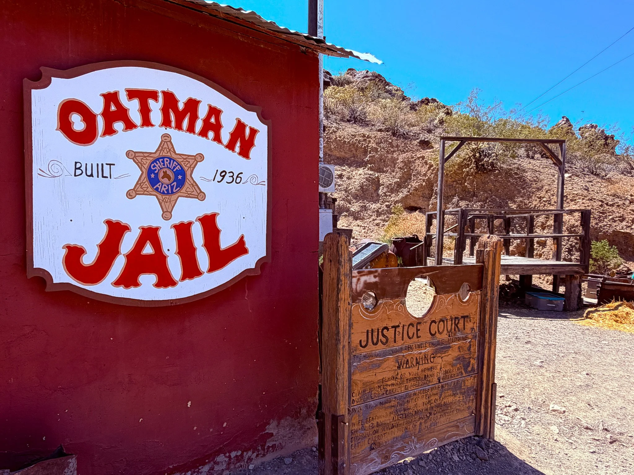
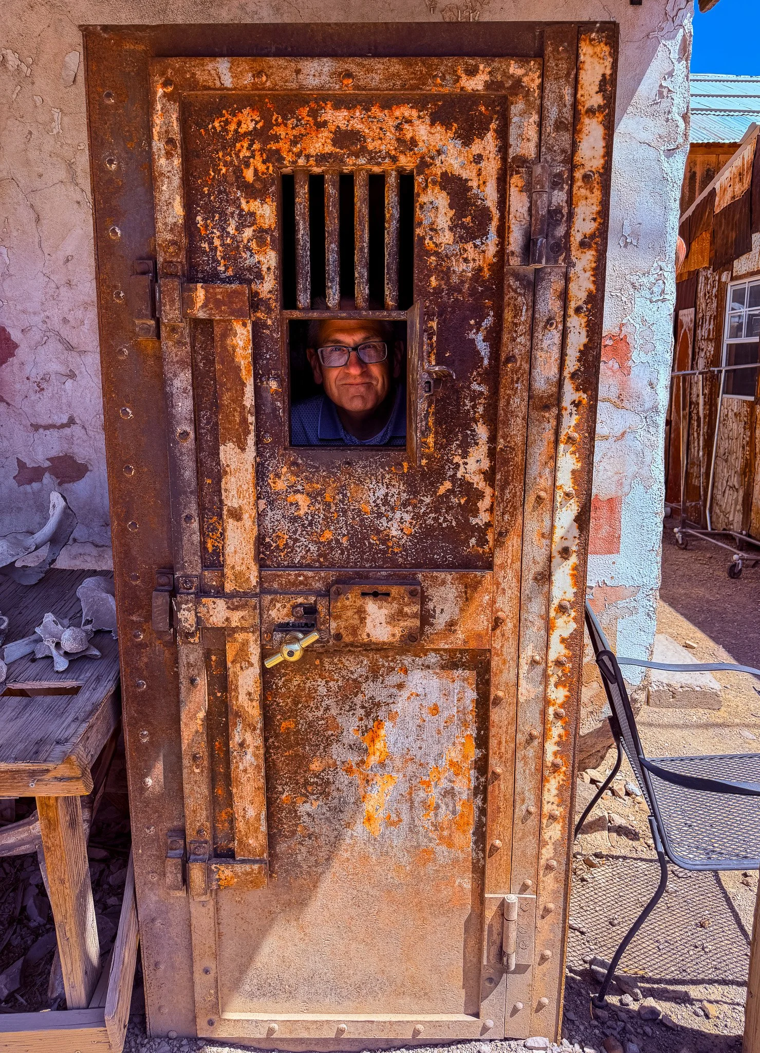
The jail, pillory and gallows.
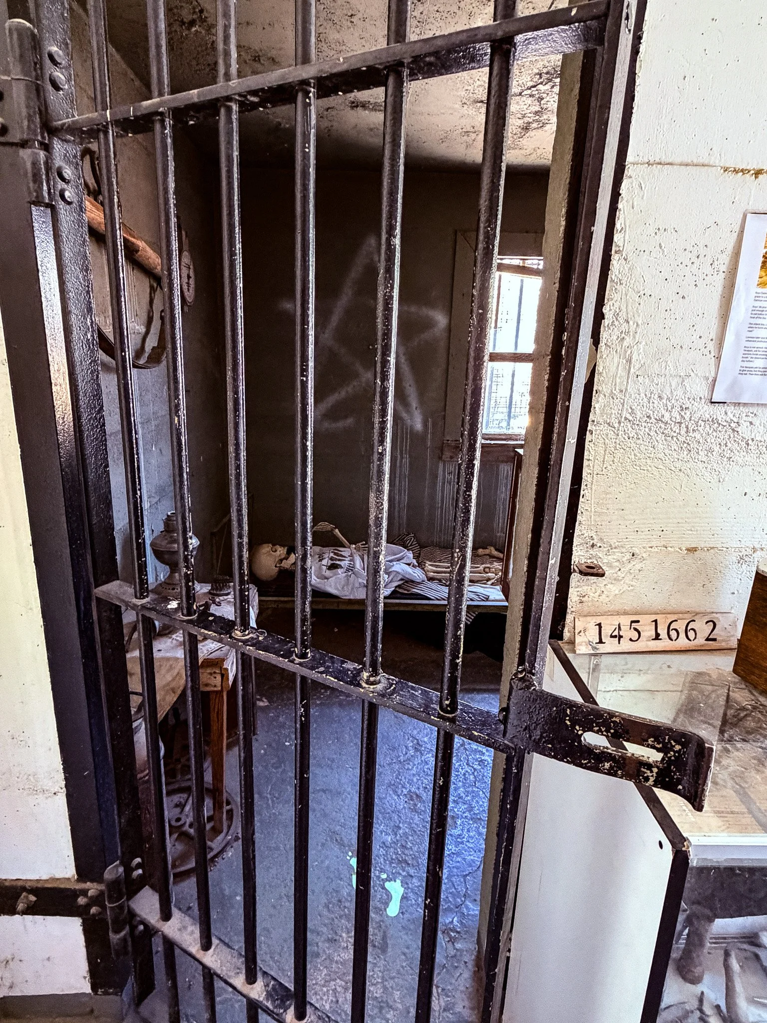
It wouldn’t be a day if we didn’t have some photo of incarceration! Looks like this guy got a life-and-beyond sentence.
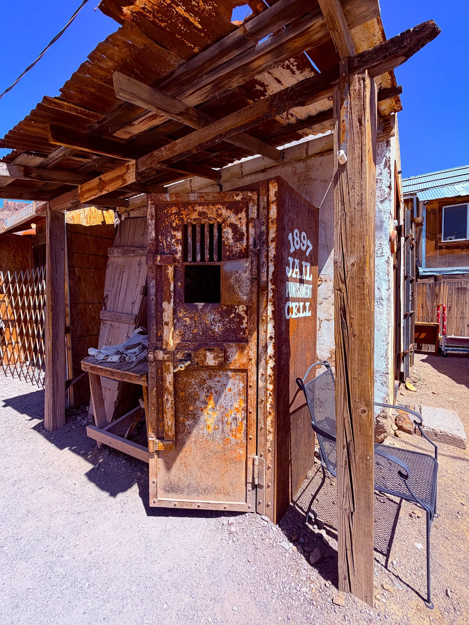
What would someone have to do to end up in one of these???
Not at all surprising….
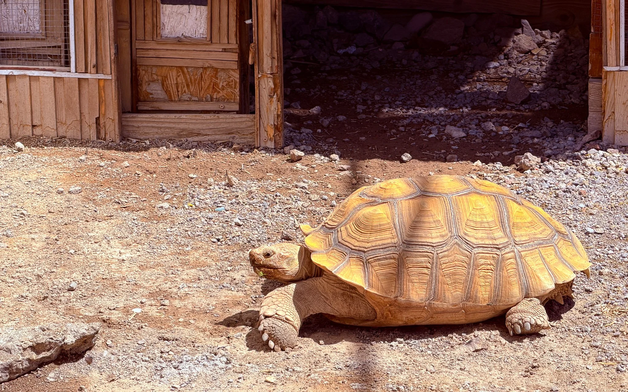
The only other non-burro wildlife we have seen recently.
Lisa and her double-wide ass taking up half the road!!
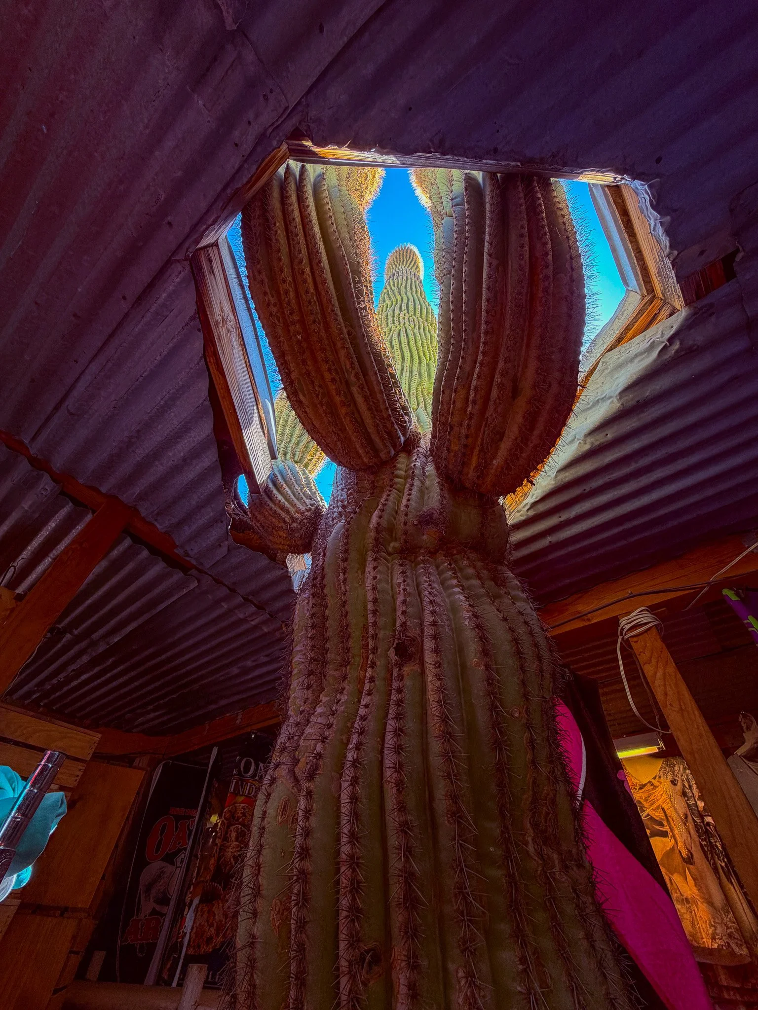
A mature saguaro cactus like this one could be several hundred years old. And, it is against the law to cut them down or move them. So, it appears they build the building around this one, or at least cut a hole in the roof to accommodate it.
From ChatGPT:
Saguaro cacti are protected in Arizona. While they are not federally listed as endangered, native saguaros are safeguarded under the Arizona Native Plant Law. It is illegal to cut down, dig up, collect, sell, or move one from private or state land without proper permits and landowner permission.
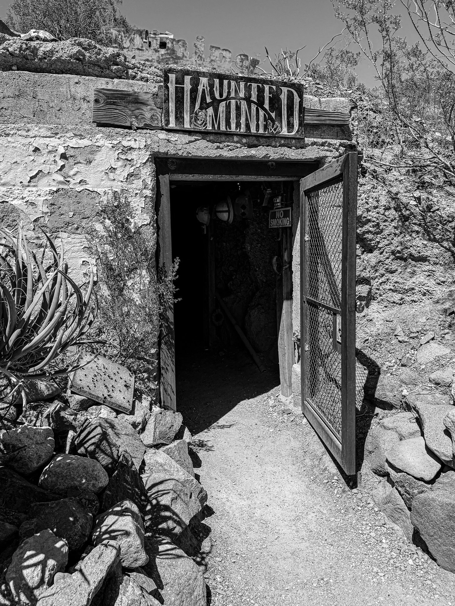
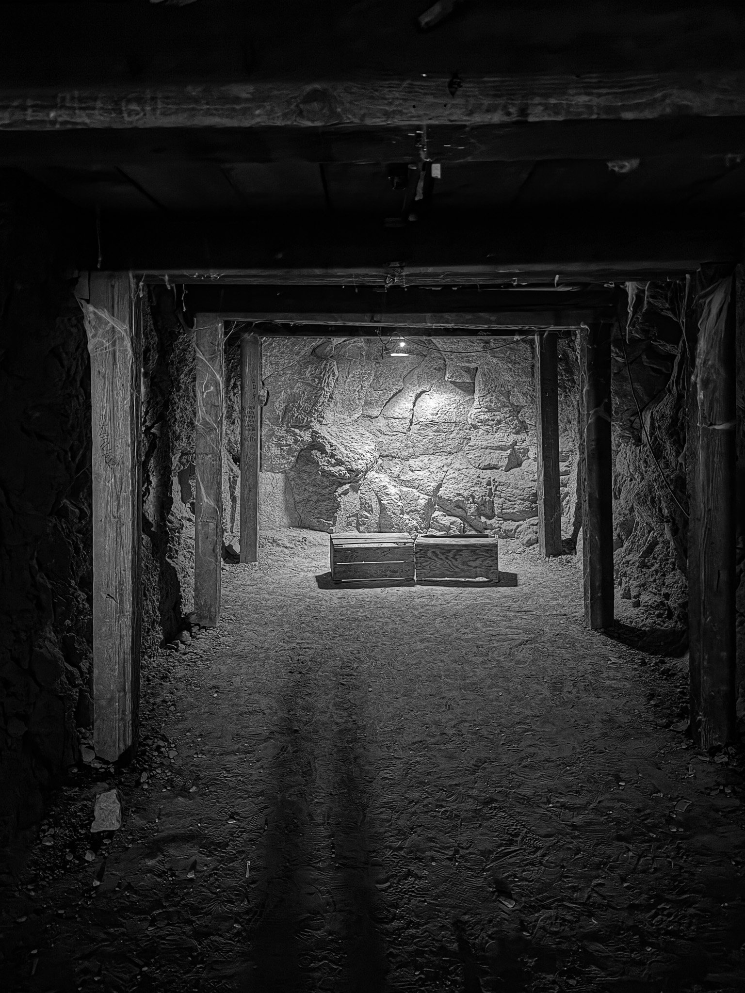
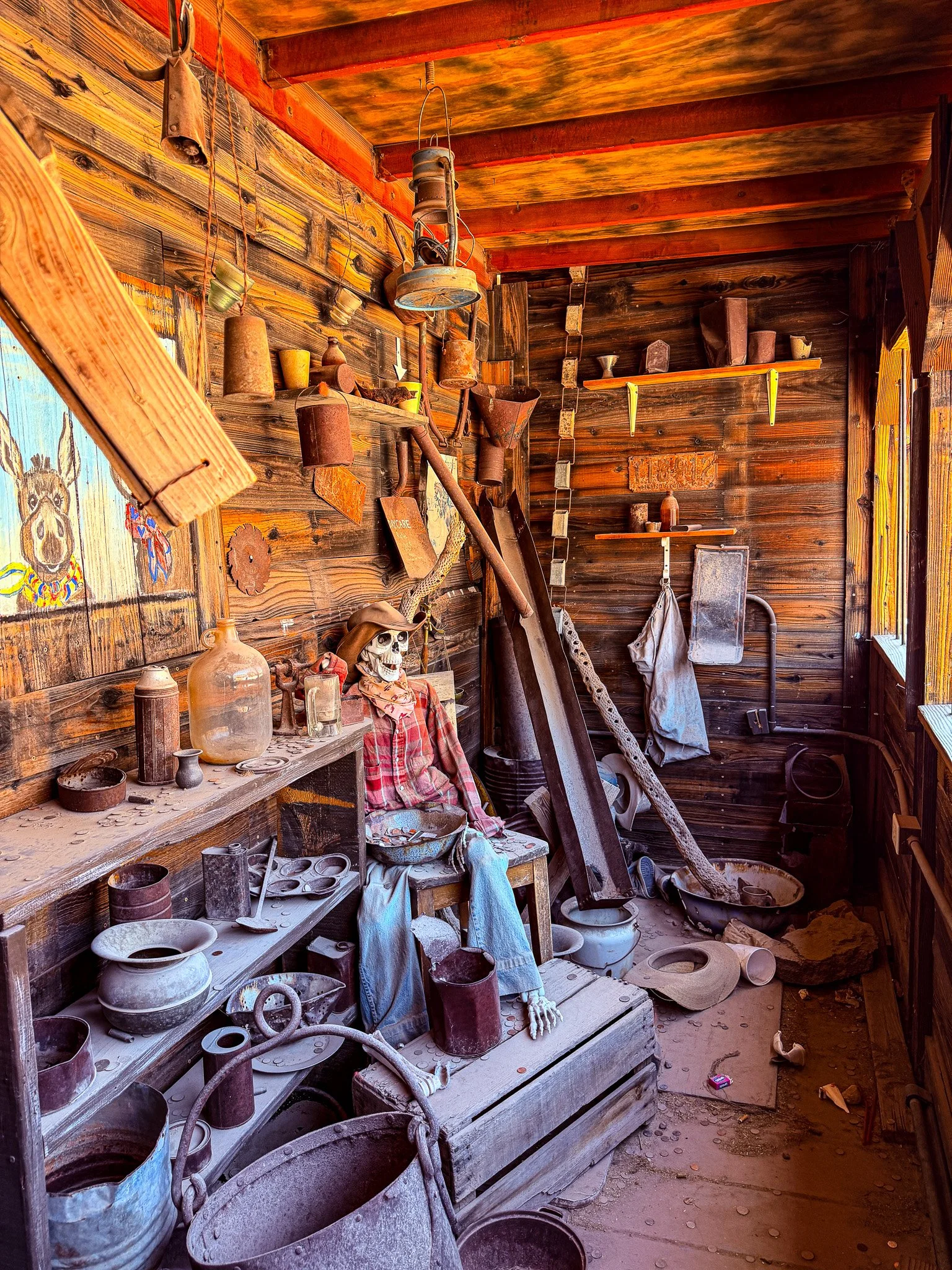
Inside the haunted mine.
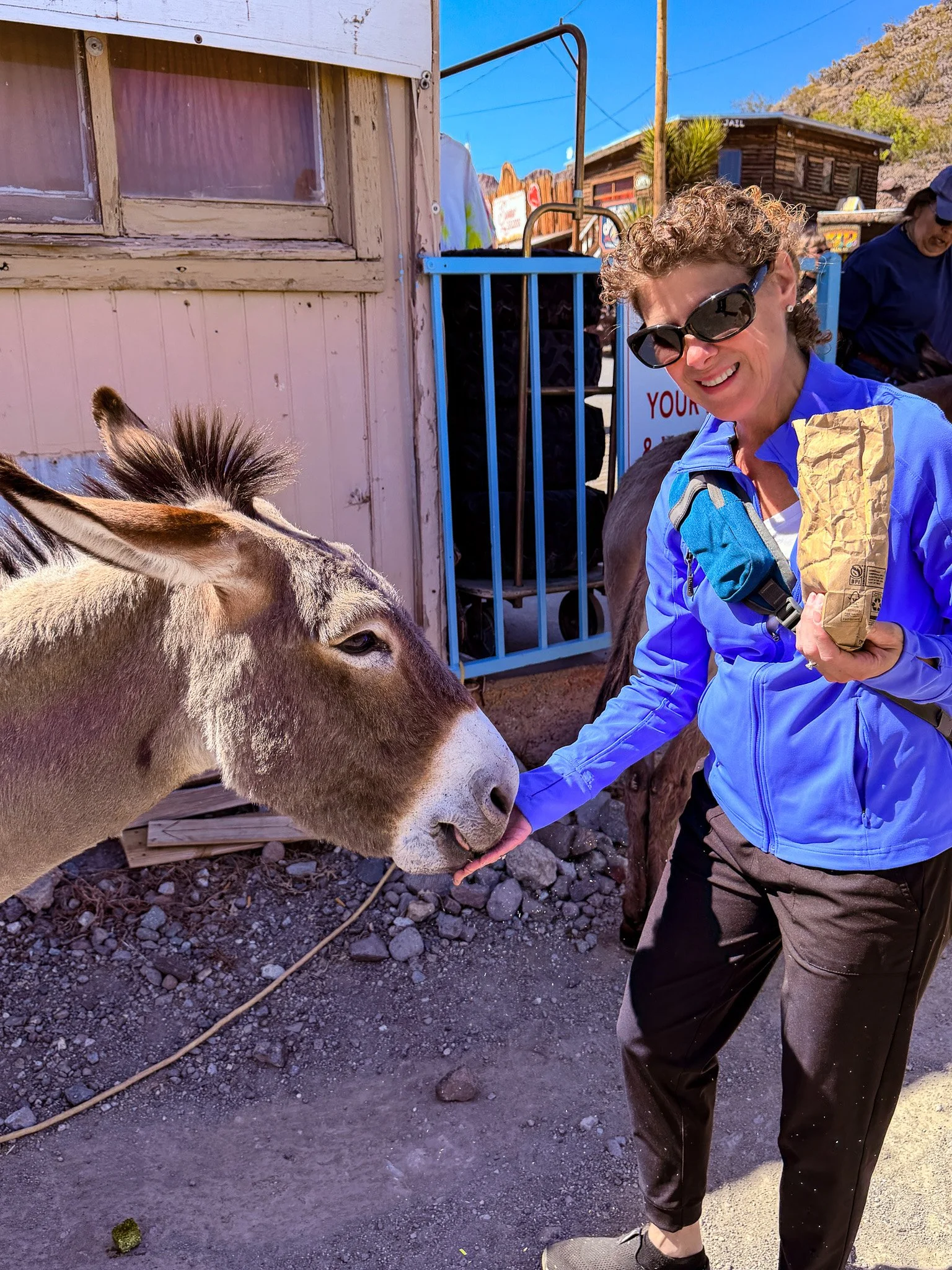
One last photo of Lisa and her ass before we leave Otaman.
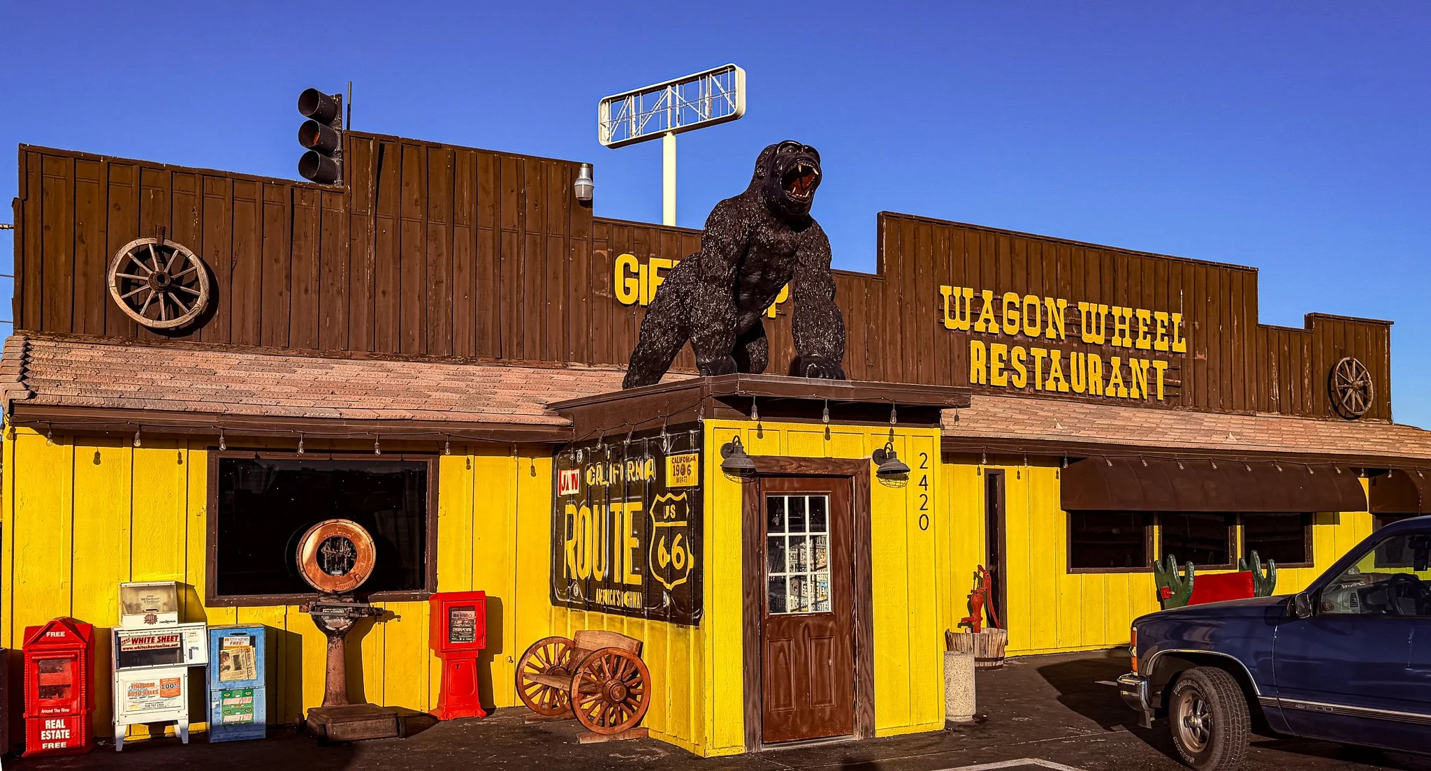
And with that, we have entered our final state on the route, California!
Needles, CA is “home” for the night and they have a classic Route 66 establishment where we had dinner. It may not look like much, but the food was good, service was great and when we left there was a brand new Bentley parked in the lot. That’s Cali for you.
Click on Image for Map.