Blue Ridge Parkway Day #6
Friday, October 24, 2025
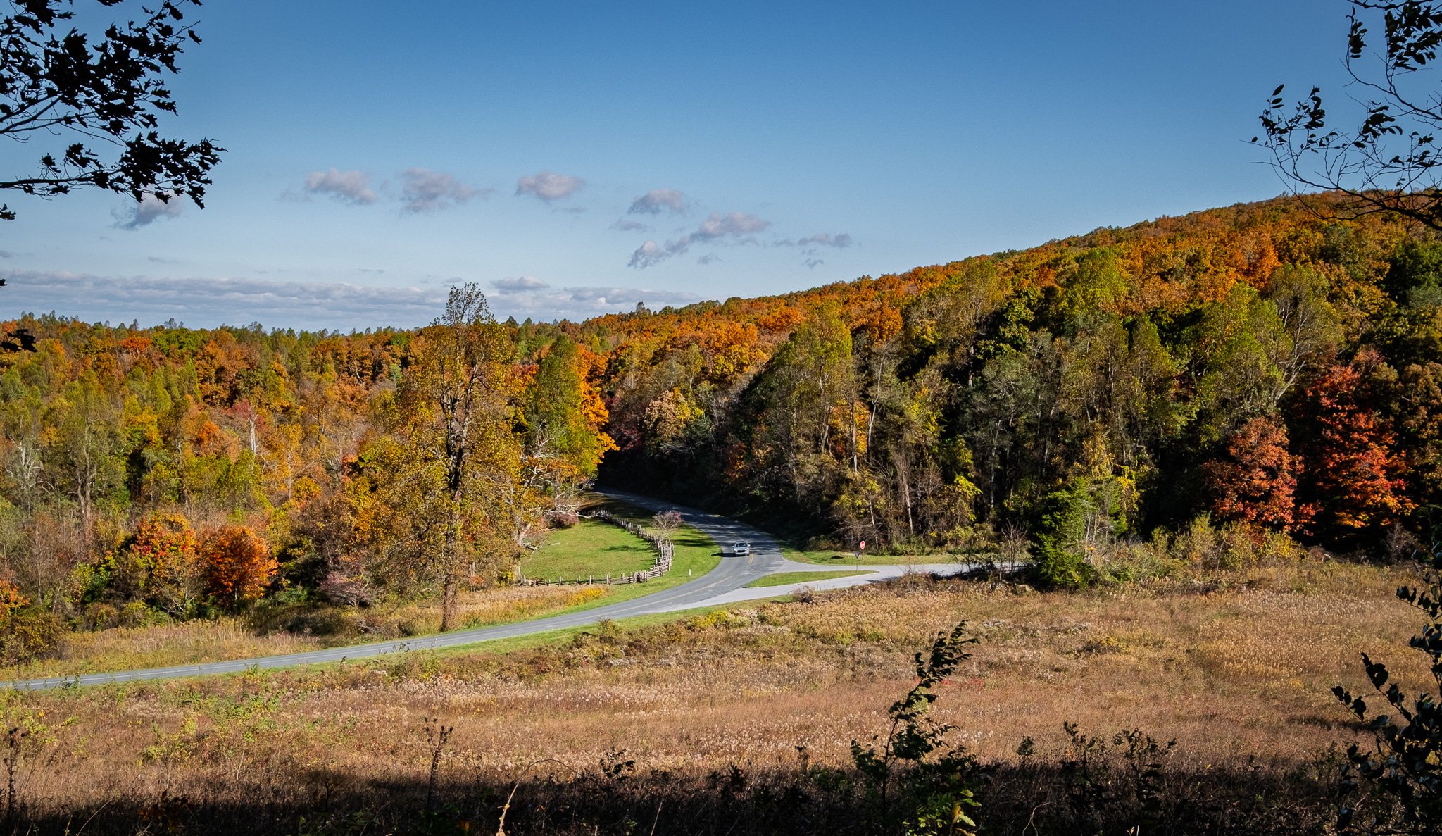
Today we finally reach the northern most entry point to The Blue Ridge Parkway and start our 469-mile journey to the souther end.
From ChatGPT:
The Blue Ridge Parkway is a 469-mile scenic roadway stretching from Shenandoah National Park in Virginia to Great Smoky Mountains National Park in North Carolina. Designed for leisurely travel, it follows the crest of the Blue Ridge Mountains, offering sweeping overlooks, tunnels, and long-distance vistas. The parkway connects forests, meadows, and high ridges while protecting Appalachian landscapes and culture. Along the route are historic cabins, visitor centers, hiking trails, waterfalls, and access points to charming mountain towns. Wildlife sightings are common, especially deer and black bears. Built during the Great Depression, the parkway is both an engineering achievement and a cultural resource, blending natural beauty with preservation of mountain heritage. With no commercial traffic, minimal signage, and a relaxed pace, the Blue Ridge Parkway is considered one of America’s most scenic drives and a destination in its own right.
Click on Image for Map.
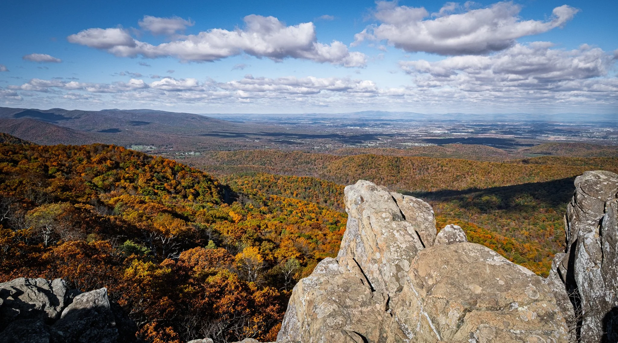
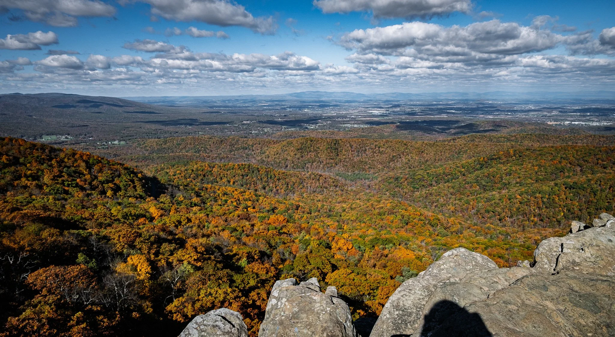
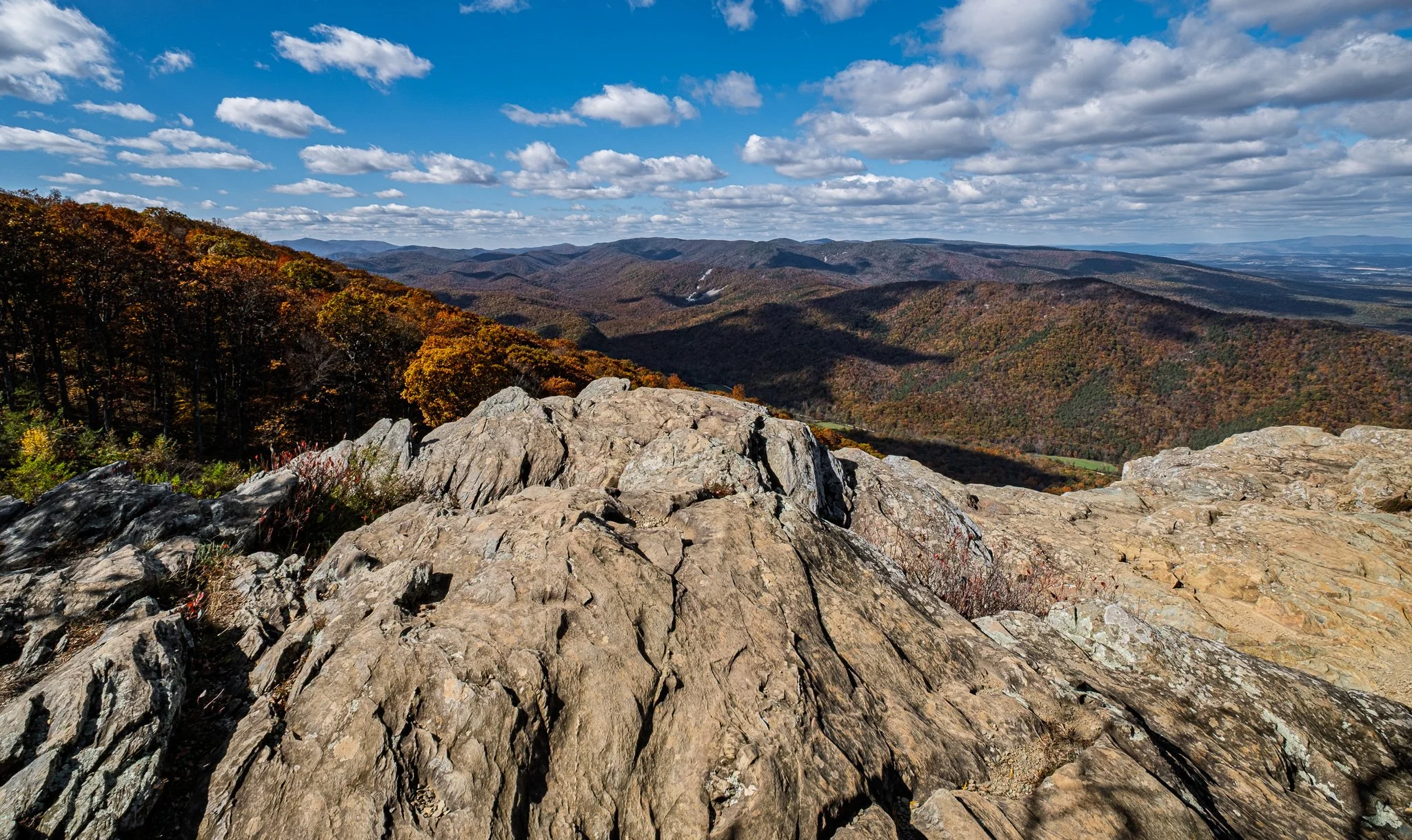
This is the view from Humpback Rock Mountain. This was about as rugged and difficult of a climb that we are going to attempt. The views at the peak were fantastic, but you earned it on the way up!
From ChatGPT:
Humpback Rock on the Blue Ridge Parkway in Virginia is a striking greenstone outcrop reached by a steep, roughly 2-mile hike from the Humpback Gap parking area. The trail climbs about 700 feet to dramatic 360° views of the Shenandoah and Rockfish Valleys. Near Milepost 6, the site also features a visitor center and historic farm exhibits, blending scenic beauty with Appalachian culture.
Click on Image for Map.
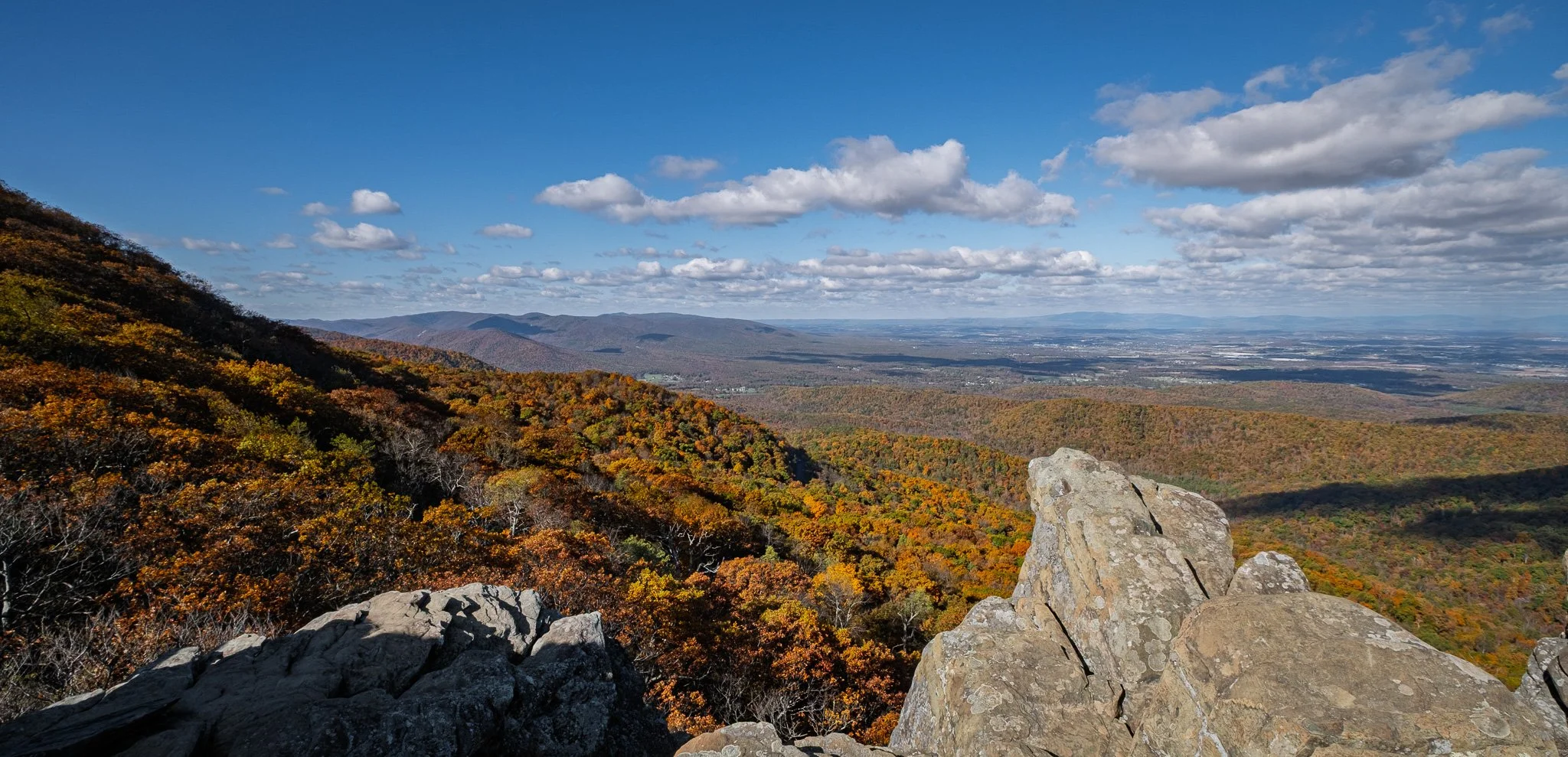
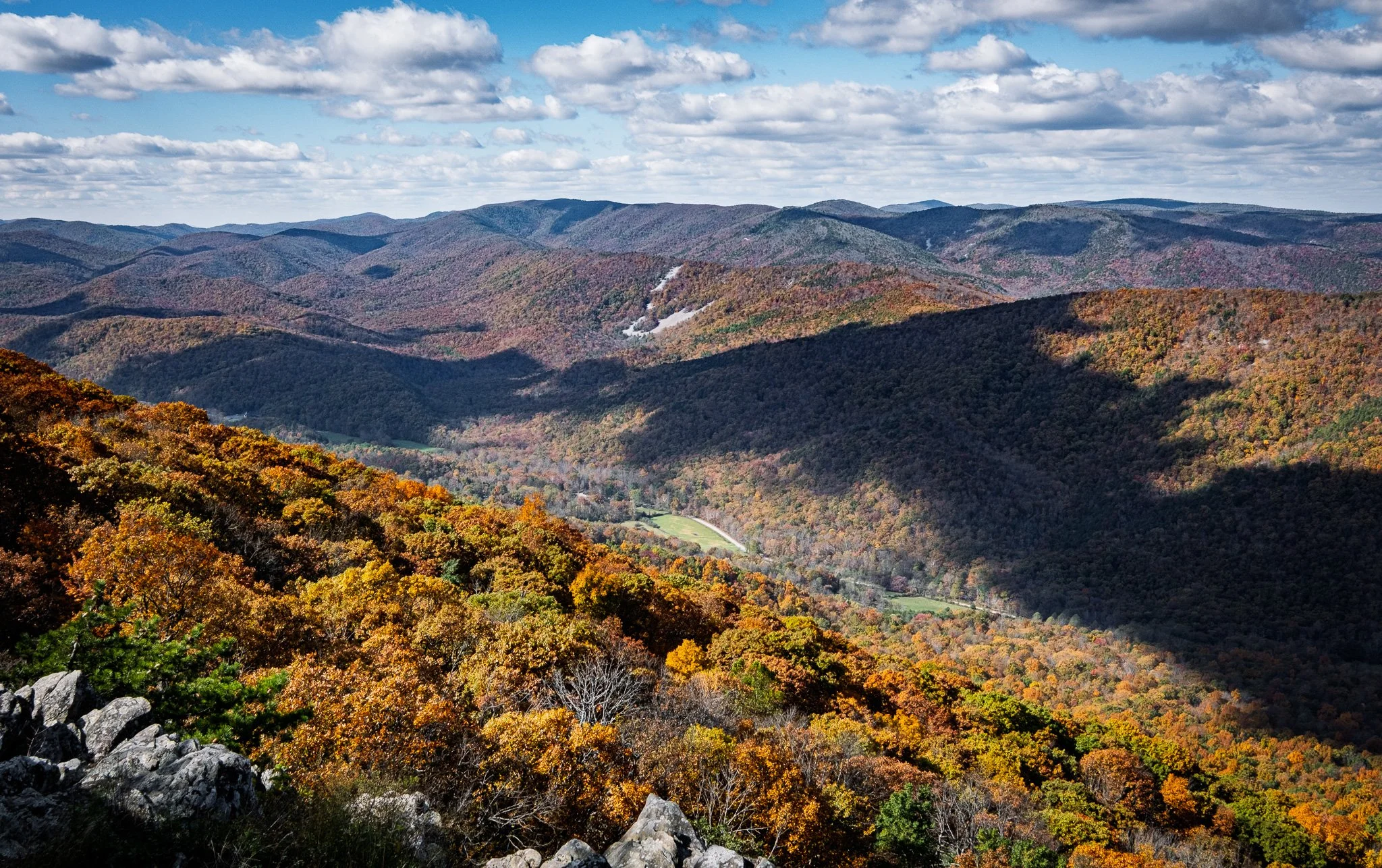
A few views from the Ravens Roost overlook.
Click on Image for Map.
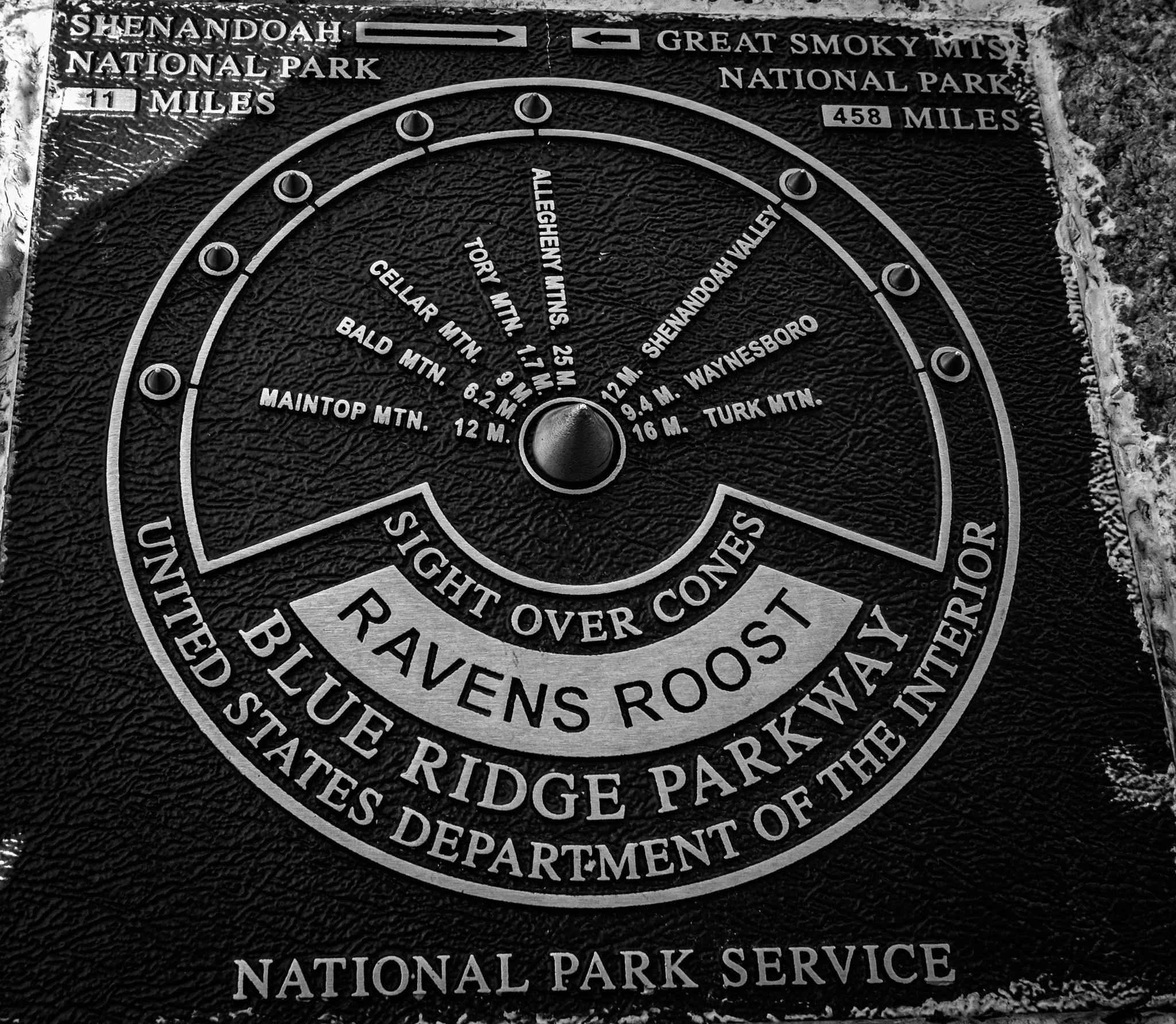
This marker identified the mountain ranges viewable from Ravens Roost.
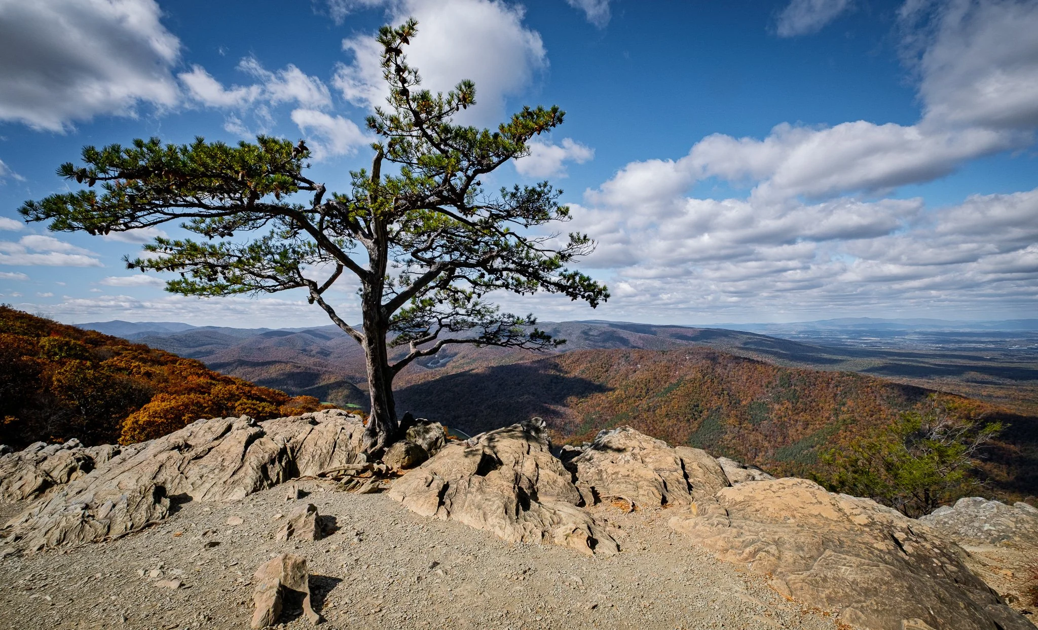
One final view from Ravens Roost before pushing on.
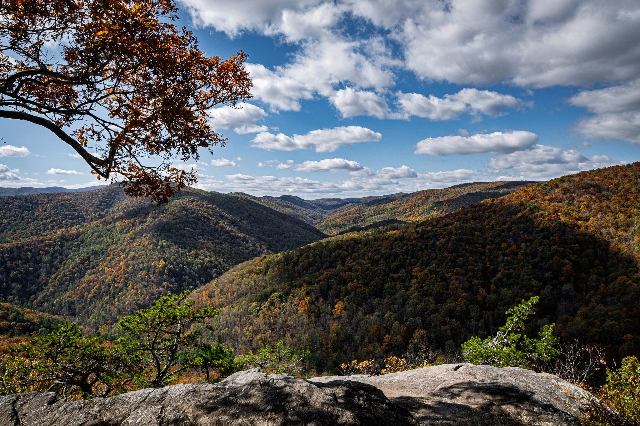
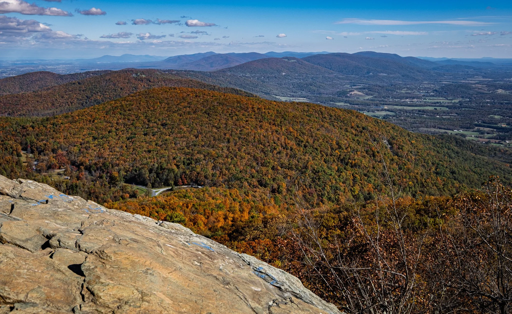
Around nearly every turn is another wonderful view.
Click on Image for Map.
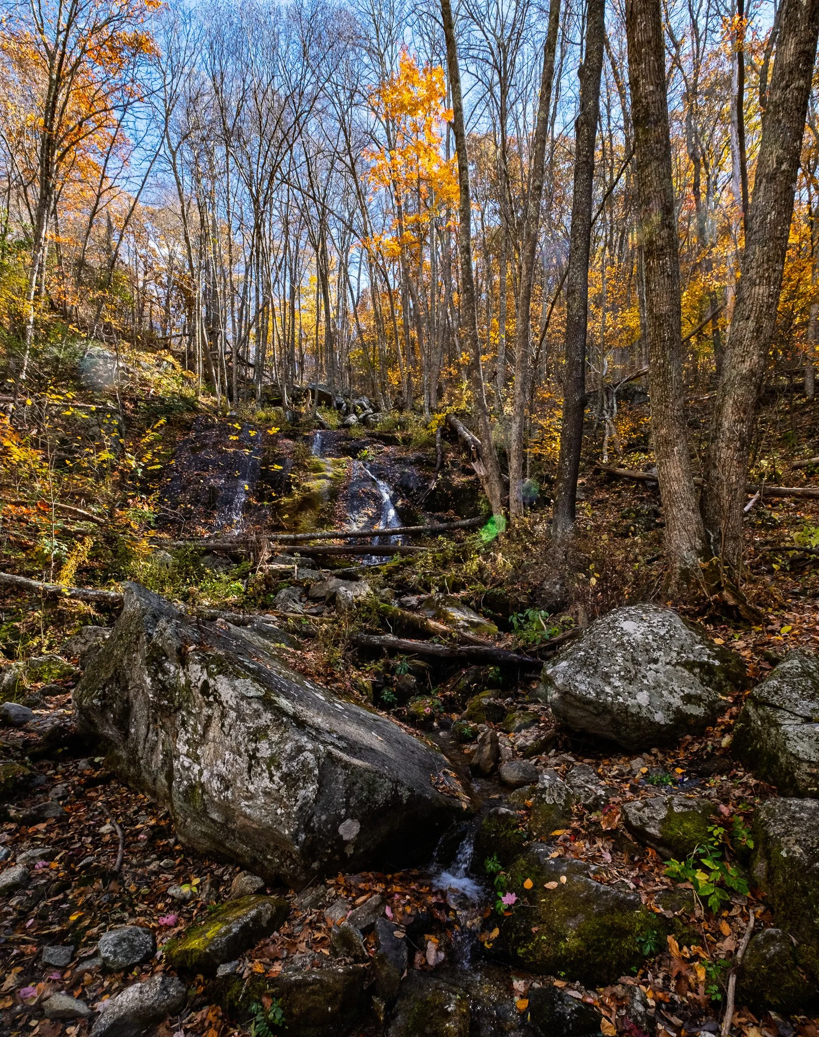
We walked the old railroad bed from the Yankee Horse Ridge Trailhead to Wigwam Falls.
From ChatGPT:
Wigwam Falls and the Yankee Horse Trail at Milepost 34.4 on the Blue Ridge Parkway offer a short, easy nature walk through forest and a bit of reconstructed narrow-gauge railroad history. A brief trail leads to the base of Wigwam Falls, a modest but pretty cascade that’s most impressive after rain. The area also features picnic spots and interpretive exhibits.
Click on Image for Map.
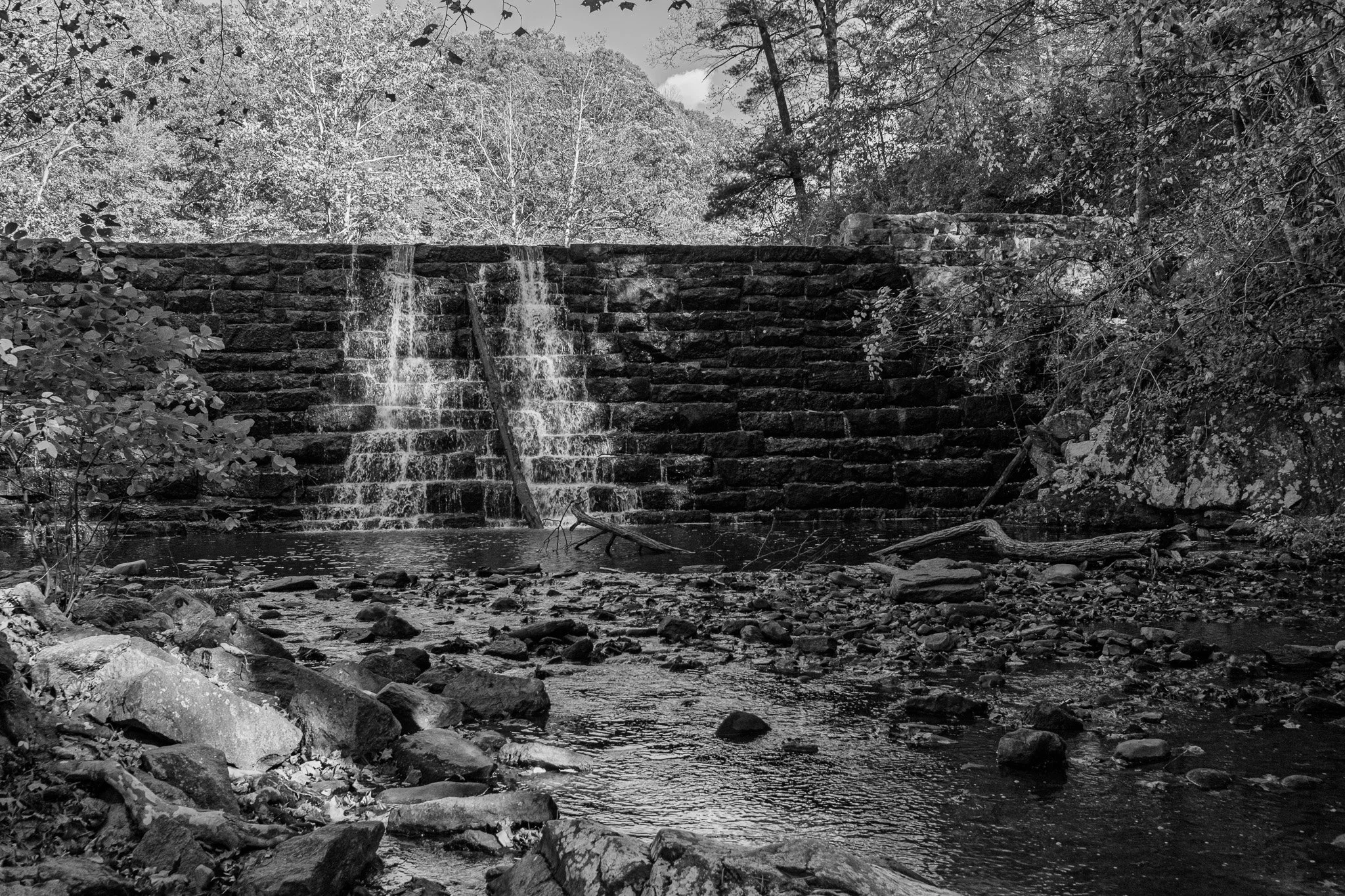
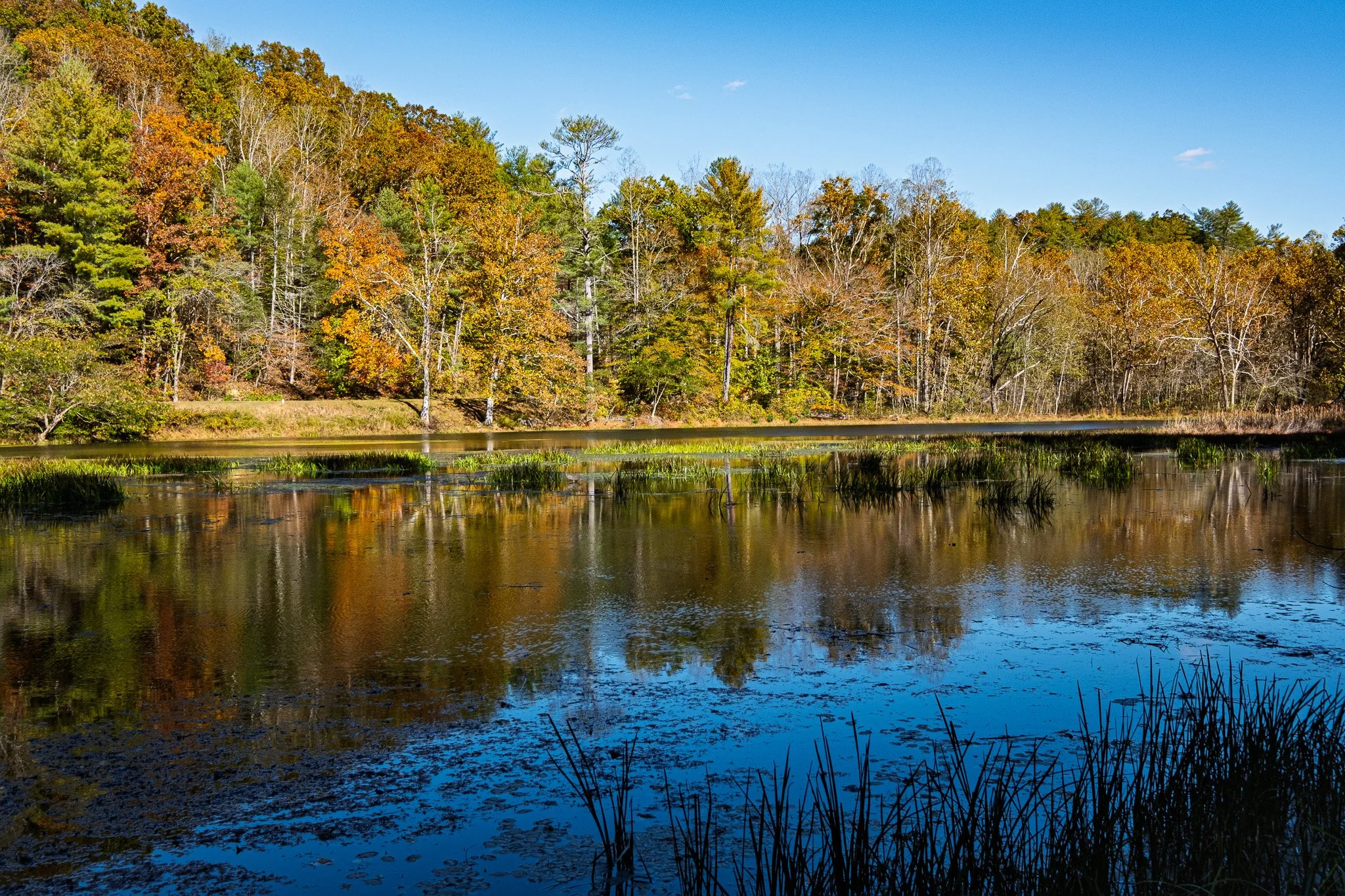
The manmade dam and falls at Otter Lake.
From ChatGPT:
Otter Lake on the Blue Ridge Parkway (around Milepost 63) is a small, scenic 7-acre man-made lake created by a dam on Otter Creek at one of the parkway’s lowest elevations. The dam forms a pleasant little waterfall visible from the road. A loop trail circles the lake through woods, offering easy hiking, wildlife viewing, and an accessible fishing pier for warm-water fish.
Click on Image for Map.
Otter lake viewed from the loop trail.